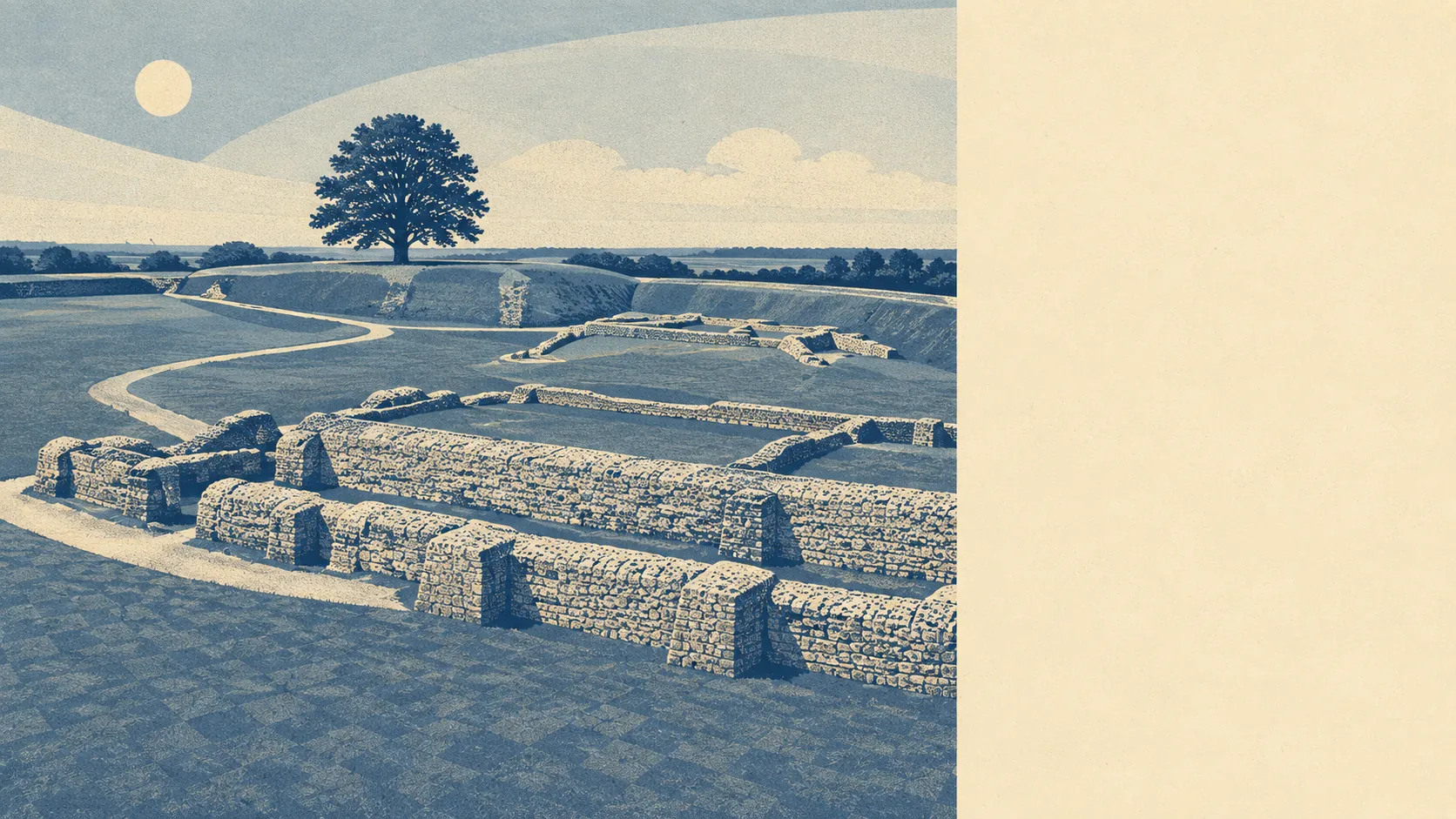
The area around Old Sarum is chalk-country villages with a cathedral city bolted onto the southern end. Green space sits in every direction and barely any distance away. Open water does not. The settlements nearby come with a church, a conservation area and a Bronze Age burial mound inside the same square mile. Countryside, then, and countryside that people have been rearranging for a very long time.
On green space, the average postcode here has about 20 separate open spaces within a kilometre, with the nearest one roughly 96 metres from the door. That is not a park at the end of a bus route. That is fields and greens in most directions at once.
Water is the obvious gap. The average postcode sits about 1,390 metres from the nearest blue space, and counts 0.3 of them within a kilometre. Whatever the river-valley names in the surrounding parishes suggest, this is high dry downland rather than anywhere with a bank to sit on.
Getting out into it takes a little effort. The National Cycle Network averages about 1,420 metres away and 0% of postcodes here count as close to it, so a family ride begins on the road rather than on a path. No ancient woodland registers within the area at all.
The amenity picture across the wider postal district runs to 148 shops, 24 pubs and 8 restaurants. That is village and suburban provision, spread thin across a lot of parishes rather than concentrated into one high street.
Air quality is measured at council scale rather than street scale: fine particles came in at 6 micrograms per cubic metre across the Wiltshire area in 2024.
For character, the neighbours are Stratford sub Castle, Laverstock, Bishopdown, Hampton Park and the Winterbourne villages, with Gomeldon and the Woodfords further out, and conservation areas at Lower Woodford, Netton, Winterbourne Dauntsey, Winterbourne Earls and Winterbourne Gunner. The scheduled monuments in the surrounding fields are mostly burial grounds: a long barrow at Ende Burgh, Horse Barrow, the group on North Hill Down, the Heale Hill round barrows, along with a deserted medieval village at Gomeldon and a Romano-British settlement at Stratford sub Castle. The registered parks and gardens nearby amount to Bourne Hill House Gardens and the grounds of Salisbury Crematorium, which tells you roughly how much formal landscaping the area has gone in for.
Private outdoor space is the part that public mapping usually leaves out, and it is where this area does best. Gardens work out at about 157,000 square metres per 1,000 residents. Whatever else the modern estate was designed for, it was not designed to send people to the park for somewhere to sit.
Within the area itself, 186 premises sit on the business rating list. Across the wider postal district the list also carries 149 offices and 9 holiday lets alongside those shops and pubs. Those are rateable premises rather than a directory of open doors: a unit on the list can be sitting empty, and the valuation list has never once had an opinion on whether the place is any good.
For eating, 16 food premises around here carry a published hygiene rating, of which about 88% hold the top score and about 6% sit at the bottom of the scale.
Worth stating plainly: none of this area falls inside an area of outstanding natural beauty, none of it overlaps a site of special scientific interest, and none of it is ancient woodland. This is working farmland and downland rather than protected landscape. Fewer constraints for anyone building on it, and no promise that the view stays as it is.
The surroundings are the strongest thing Old Sarum has going, by a distance: green space at arm's length in every direction, gardens generous enough to embarrass most new estates, and a horizon full of other people's ancestors. Nobody moving here for the setting is going to feel short-changed.