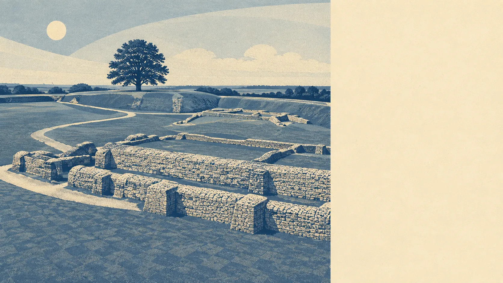
Old Sarum is not a river flood risk, and that is the easy half of the answer. Nothing here falls inside the mapped river and sea flood zones. Nothing here carries a recorded flood on the historic register. What does show up is surface water, with close to one postcode in ten rating high on at least one measure. Dry ground with a rainfall problem is still a rainfall problem.
Taking rivers and the sea first, the Environment Agency's mapping puts 0% of the area's postcodes in flood zone 3, the higher-probability band, and 0% in flood zone 2, the medium-probability fringe that sits beyond it. Those two are exclusive bands rather than nested ones, so zone 2 being the smaller number is normal rather than a contradiction. Here both come out empty, which is about as clean as that particular question gets.
Whatever risk exists, then, arrives as rainfall rather than as a watercourse leaving its channel. Surface water works differently from a river: it needs a downpour, hard ground and a low spot rather than a bank to overtop, and it can turn up on a street that has never been near a flood plain. A modern estate supplies a great deal of hard ground.
The forward look does not change the picture. On the climate-adjusted version of the zones, which stretches them to allow for future conditions, the share of the area's postcodes affected is still 0%.
For insurance, that combination is worth understanding properly. A clean answer on the river-and-sea zone question is the one that moves premiums most, and this address gives it. Surface water is the part that catches buyers out, because insurers price on the specific property and its claims history rather than on the estate as a whole. Flood Re, the industry scheme that backstops high-risk homes, does not cover homes built since 2009, which is directly relevant where so much of the housing stock is recent. An indicative quote on the exact address, taken before a solicitor is instructed, costs nothing and settles the question.
At postcode level, the broader indicator that folds surface water in alongside rivers and sea rates about 9% of the area's postcodes high on at least one measure, 8% medium and 25% low. Those bands overlap with the zone figures rather than stacking on top of them. A postcode appearing there is not a second risk added to the first, it is the same ground assessed by a wider method.
On the modelled flood extents, the share of postcodes sitting inside a high-risk extent with a defence present is 0%, and the share inside a high-risk extent with no defence is also 0%. Nothing here is depending on a defence, because nothing is inside the extent in the first place. Where that word does appear on other properties, it only means a defence exists in the model. It has never meant the house behind it stays dry.
The nearest tide gauge with a long record is at Portsmouth, where sea level rose by about 2 millimetres a year across the record running from 1962 to 2023. That is a measured historic rate at a coastal gauge rather than a projection, and Old Sarum sits well inland of it.
As for history, the historic flood mapping records 0% of the area as having flooded. That is genuinely reassuring, and it is not the same as proof that water has never come through a garden here. Records begin when somebody starts keeping them.
Middling overall, and for an unusual reason: the headline risks are simply absent, while the residual one is the kind that arrives across a driveway during a summer downpour rather than up a valley in February. Check the individual address rather than trusting the postcode, because that is where the difference between the two lives.