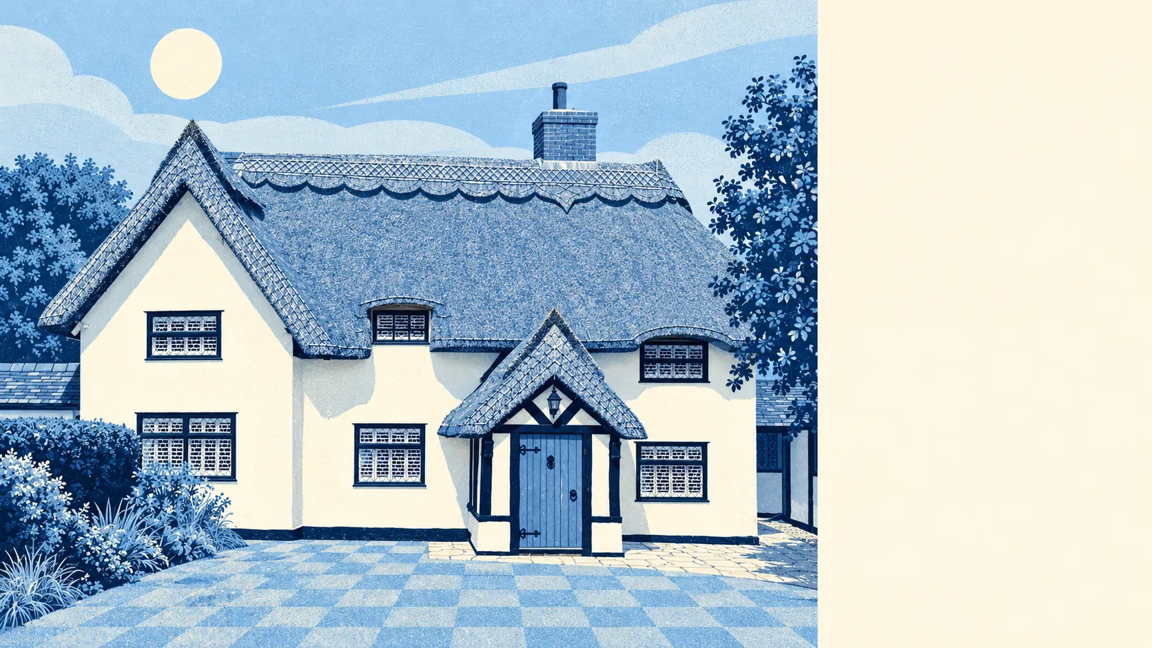
Little Dunmow is a village where the side extension is the easy part of owning a house. It has five listed buildings and no conservation area inside its built-up streets, so a new kitchen or a loft bedroom goes through ordinary planning, with no argument about history. Much of the housing went up this century, and on most streets the nearest thing to a period feature is the original kitchen. The hard part is the price of getting in.
All five listed buildings are Grade II. Nothing is Grade I or II*, and there are no scheduled monuments within the area this page covers. The conservation area that carries the village's name lies outside these streets. That leaves a family with a three-bed and plans for a fourth bedroom answering to the planning rules and building regulations like anyone else, with no heritage officer involved. The old village has the history. Lady Juga Baynard founded the parish church in 1104, and her son Geoffrey added an Augustinian priory two years later. After the Dissolution most of the priory was razed, and the Lady chapel survives as the east end of St Mary the Virgin. Medieval Little Dunmow lost far more of its buildings than anyone planning a rear extension will ever be asked to give up. The ground underneath needs more thought than the paperwork. Every postcode here is rated class 3 for shrink-swell clay, and that matters to whoever pours the new foundations.
Essex Police recorded crime at about 44 offences per 1,000 residents in the year to May 2026, roughly 28% below the average for Uttlesford. That rate comes from the published figures for the village's neighbourhood areas. With totals this small, a handful of incidents in either direction moves the picture, so no single category tells you much about the place. Most residents see crime the way they see the bus timetable, as something that exists further up the road.
Prices are where Little Dunmow pushes back. The Land Registry recorded 44 sales in the year to April 2026, at a typical price of around £420,000. Detached houses went for about £550,000, semis for about £378,000 and terraces for about £369,000. Only four flats sold, at about £217,000, so a starter flat exists in roughly the way a unicorn exists. Council tax points the same way. The most common band is E, and only about 9% of homes are in bands A or B. Renting doesn't get you out of it either. Typical private rent across the Uttlesford area runs at about £1,280 a month as of April 2026, a district-wide figure that covers Saffron Walden's terraces as well as this village's semis.
The council tax list shows what the money buys. About 31% of homes are detached, 27% terraced, 22% semi-detached, 9% flats and 7% bungalows. Roughly 10% were built before 1930, and about 39% went up between 2000 and 2008 alone. Of the homes with an energy certificate, 86% are rated A to C, and about 81% of households heat with mains gas. Buyers who grew up in Victorian terraces will miss the cornicing and not the heating bills.
About 75% of households own their home. The typical resident is 32, an age the Dissolution-era village would barely recognise. Gross household income averaged about £70,000 in the financial year to March 2023, a figure the Office for National Statistics models across the wider neighbourhood, so it describes the area and not any one household. Young owners with good incomes and big mortgages run the place, and the priory's canons have been replaced by the school run.
The Environment Agency puts none of the area in the river-and-sea flood zones, even with the River Chelmer running through the valley. By the wider measure, about 13% of postcodes carry a high rating on at least one flood indicator, and that measure includes surface water. Any risk that shows up here is rain with nowhere to go, and the river has been wrongly blamed for longer than the estate has existed.
Driving is how Little Dunmow works. At the 2021 census about 55% of working residents drove to work, about 34% worked from home, and the train and the bus managed roughly 1% each. There are two bus stops, averaging about 26 weekday departures between them. The Department for Transport's 2019 modelling puts the nearest town centre about 13 minutes away by car and 23 by public transport. The public transport figure is the one most likely to have aged since. Gigabit broadband reaches about 96% of premises. The bus is there for anyone who plans the day around it, and the census suggests almost nobody does.
The Flitch Green Academy is the local primary, about eight minutes' walk away on the 2019 modelling. Across the three primaries in the postcode district, the average maths score at the end of primary school is about 104. Helena Romanes School is the secondary, about 16 minutes by car, 34 by public transport and well over an hour and a half on foot. Across Essex, Ofsted rates 218 of 246 graded settings good or better and 22 outstanding, but those are county figures and tell you nothing about one gate. Primary is a stroll. Secondary means years of lifts.
Green space is close. The nearest is about 180 metres from the typical front door, and water is about 240 metres away. This page also covers Stebbing, Finchingfield and Great Bardfield, the older villages further out, where the listed cottages and the planning rules both get more serious.
Little Dunmow is right for a family with a solid income who wants a newish house, a short walk to the primary school, and room to grow the house later without asking a heritage officer. It is wrong for anyone who needs a train, a cheap first rung or a secondary school within walking distance.
The freedom to extend is what makes the numbers work. Pay up once for a house here and you can keep adding to it as the children arrive, without moving and paying stamp duty again. It's a good village to live in, and a dear one to get into.