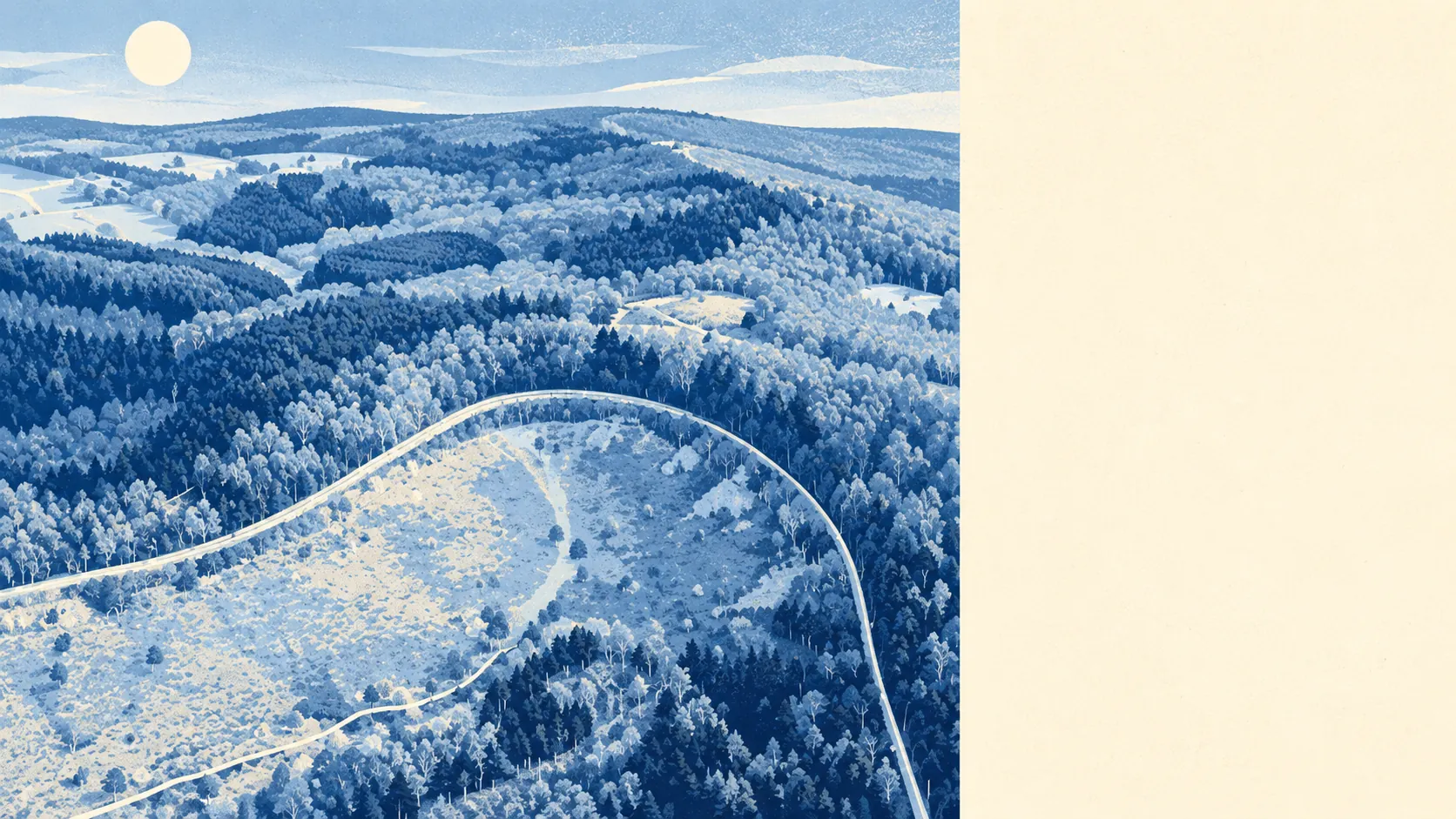
Heathland on the doorstep, nightlife somewhere else. Green space is a few minutes' walk from most front doors. The Devil's Punch Bowl sits on the northern edge. The evening options fit on a napkin. Hindhead is built for Sunday mornings, not Saturday nights.
Green space is close and there's plenty of it. The nearest green space is about 240 metres away from the average home, and there are about 6 green spaces within a kilometre. That's closer than the nearest shop for most people. The village sits on the Greensand Ridge, where the sandy soil breaks the woodland up into open heath with gorse and heather. Put on your boots and turn left.
Water is further off but still close. The nearest pond, stream or lake is about 610 metres away on average, with about 4 within a kilometre. You can't move up here for a river view, which also explains why the river-flooding maps have nothing to say about the place.
Cyclists who want signposted routes will be disappointed. The nearest National Cycle Network route is about 6 kilometres away on average, and no postcodes sit close to one. None of the area is mapped as ancient woodland. The hills here do the job the cycle network doesn't, and anyone who has tackled Gibbet Hill on a bike won't be looking for extra miles.
The local shops are mostly practical. The rated-premises list counts 99 shops, 30 offices, 2 restaurants and 1 pub. A village with 99 shops and one pub has decided what it's for, and it isn't Friday night. The valuation list carries 180 rateable premises in all. That count covers units on the list, not businesses currently trading, so it tells you how much commercial space there is rather than what's open this week.
Eating out is a small field, but a clean one. Of the 56 food premises with a hygiene rating, about 93% hold the top score and none sit at the bottom. The choice is limited, and the kitchens are fine.
Fine-particle air pollution across the Waverley council area averaged about 6.5 micrograms per cubic metre in 2024. That's a council-wide figure, not a reading from Hindhead's own streets.
The Surrey Hills Area of Outstanding Natural Beauty covers about 9% of the area, taking in the rolling woodland to the north and east of the village. No part of the measured area overlaps a site of special scientific interest or ancient woodland. The Devil's Punch Bowl, itself a site of special scientific interest, sits on the northern edge of the village, just outside the built-up boundary used for these figures. The protected landscape starts right where the houses stop.
Private gardens are generous. The area has about 314,000 square metres of private garden for every 1,000 residents. Put simply, most people here have their own patch of outdoors on top of the heath. The detached houses on the ridge have the gardens that go with them.
Hindhead's reputation comes from the height and the hills. It's the highest village in Surrey, and Gibbet Hill rises above the Punch Bowl. During the Second World War, the Royal Air Force ran a radar station on Gibbet Hill from 1942, because a hill that sees everything tends to get recruited. The stretch of old London road beside the Punch Bowl has since gone back to heath dotted with trees. Around the edges are Beacon Hill, with its Arts and Crafts church of St Alban's, Grayshott across the county line, Churt to the north, and hamlets such as Nutcombe, Shepherd's Hill and Whitmoor Vale. The area is a series of small places strung along the ridge, not one town with a middle.
The surroundings are one of Hindhead's real strengths. You get heath, woodland and a famous hollow within walking distance, and all you give up is a lively evening out.