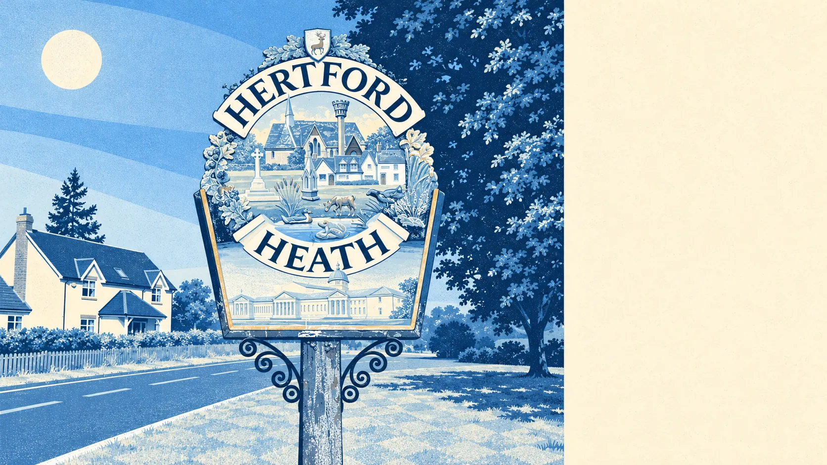
The area around Hertford Heath is green to the doorstep. A park or open space is a couple of minutes' walk from the average home. Water is not much further. The fields start where the village stops. Bring your own cafe culture, though, because the village has very few places to eat.
The average home in Hertford Heath is about 160 metres from the nearest public green space, and has six of them within a kilometre. The village is on a heath above the Lea valley, surrounded by arable fields and pasture for cattle and horses, so the open space carries on well past the parks. It is the kind of place where the dog gets walked further than anyone in the house.
Water is about 410 metres from the average front door, with about 13 bodies of water, streams and ponds within a kilometre. The Lea itself is down in the valley, and the gardens of the former Amwell House, with Scott's Grotto, and Amwell Grove and Amwell Pool are listed parks and gardens a short way off towards Ware.
The National Cycle Network is about 2.6 kilometres away on average, and no postcode in the village is close to it. The fields are for walking, and cyclists are left to share the roads with everyone driving to Hertford.
Records for the wider area around the village count 21 shops, 13 pubs and five restaurants. Thirteen pubs for five restaurants says the area has always been more interested in a drink than a menu.
East Hertfordshire averaged about 7.2 micrograms of fine particles per cubic metre of air in 2024, a figure for the whole district, from Bishop's Stortford to the edge of Hertford Heath.
The village is two settlements that merged: the old hamlet along London Road, once in the parish of Great Amwell, and Little Amwell around its green to the north. Hailey, Goose Green and Rush Green are the scattered names at the edges, Hertford with its castle mound and county hall is just down the hill, and Ware is the next town round. The Iron Age cemetery on Trinity Road is protected as a scheduled monument, though the people who built it might not recognise the villas on the way out.
Private gardens are generous. The two neighbourhood areas covering Hertford Heath have roughly 212,000 square metres of private garden for every 1,000 residents, a lot of lawn for a village. The figure counts Haileybury's boarders among those residents, and none of them is mowing anything.
The business rates valuation list carries 22 rateable premises in the village, spread thinly across categories, with no single type accounting for more than three. Those are premises on a list, and some may be empty or used for something else. What the list describes is a village with a handful of commercial units rather than a high street.
The Food Standards Agency has rated nine food premises in Hertford Heath. About 56% hold the top hygiene score and none sits at the bottom. Nine is a small enough number that the percentages describe a few kitchens, and the top score tells you the kitchen is clean, and nothing about the food.
No protected landscape overlaps the village: no area of outstanding natural beauty, no site of special scientific interest and no ancient woodland. The countryside here is farmed and grazed. Planners have not had to step in to keep it green, because nobody has yet found a reason to concrete over it.
The surroundings are the best thing about Hertford Heath: open ground at the end of every street, water a short walk away and a garden behind most houses, with a decent dinner the one thing that needs a car.