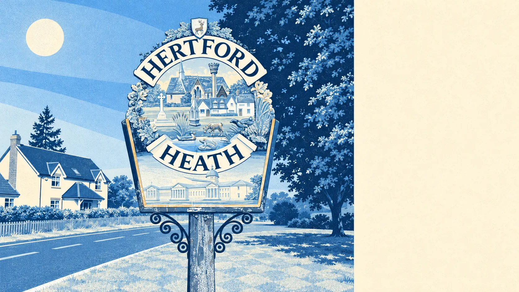
Hertford Heath asks about £455,000 for a typical home and pays you back in woodland, fields and a low crime rate. A buyer who wanted those things gets a fair trade. A buyer who only wanted a house pays heath money for one anyway. Green space starts a couple of minutes from most front doors, and crime runs well below the district.
The price is where the village is weakest. The Land Registry recorded 20 sales in the year to March 2026, at a median of about £455,000. Terraced houses went for around £455,000 and semis for about £466,000. The three detached houses that sold came in around £810,000, and the four flats at about £245,000. With twenty sales in a year, a couple of big or small ones can swing these medians, and three detached sales tell you very little. Council tax points the same way: Band D is the most common band, and only about 8% of homes are in Bands A or B. When the terraced median matches the overall median to the pound, the terrace is the going rate here and the bargain is somebody else's postcode.
Renting gives a buyer little escape. The Office for National Statistics puts typical private rent across East Hertfordshire at about £1,500 a month as of April 2026, up about 4% on a year earlier. It is an average for the whole district, and Hertford Heath has few rentals of its own: about 16% of homes are privately let, with a similar share in social housing.
The housing is a fairly even mix, unusual for a village. On the council-tax valuation list, about 28% of homes are terraced, 22% detached, 21% semi-detached, 14% bungalows and 9% flats. About a quarter were built before 1930. Energy certificates put about 46% of rated homes at C or better, 41% at D and about 13% at E or worse. About 85% of homes heat with mains gas. One home in seven is a bungalow, which tells you the village was building for people planning to stay long before it was building for anyone planning to move on.
Crime is where the numbers turn kinder. Hertfordshire Constabulary's recorded figures for June 2025 to May 2026 come to about 52 crimes per 1,000 residents, against about 70 for East Hertfordshire as a whole. The total is small enough that a handful of incidents shifts the mix by several points, so the breakdown by type tells you little about the village. For somewhere this close to the A10, it is a better figure than the traffic would lead you to expect.
About 68% of households own their home, and modelled household income comes to about £67,000 a year before tax, averaged by the Office for National Statistics across a wider area for the financial year to March 2023. The median age comes out at 35, and that figure needs a warning label. Haileybury is a boarding school inside the village boundary, and its pupils show up in the census as a spike of teenagers and most of the 563 residents living in communal establishments. Take them out and the village's own households are older than 35 suggests. The census treats a few hundred teenagers in a dormitory as locals, and it is the only count on record where they outvote the parish council.
On flooding, the Environment Agency's river-and-sea flood zones cover none of the village. That fits a place on a heath above the Lea valley. A different measure covers surface water too: about 14% of postcodes carry a high risk on at least one flood indicator. Rivers have trouble climbing a hill. Rain has no such trouble.
Getting around means a car or a laptop. In the census, about 46% of working residents drove to work, about 36% worked from home and about 2% took the train. Hertford East and Hertford North are the nearest stations by name, though neither is in the village. Eight bus stops get about 13 weekday departures each on average, between one and two an hour at the busiest time, and all eight have a weekend service. The Department for Transport's 2019 modelling puts the nearest town centre about 12 minutes away by car and 23 by public transport, and the bus times may have aged since. Gigabit broadband reaches about 93% of premises, so the commute most people here manage best is the one that never leaves the house. The road noise is closer than the woodland postcards imply: every postcode in the village is near a road mapped at 65 decibels or more.
Heritage rules are light but present. There are 36 listed buildings, one Grade II* and 35 Grade II. There is one conservation area, Little Amwell, named after the separate village to the north that merged with Hertford Heath during the twentieth century. The Iron Age cemetery on Trinity Road is a scheduled monument. Outside the listed buildings and the conservation area, most homes need only ordinary planning permission to extend. Little Amwell gave up its name in the merger and kept the conservation area, the better thing to keep if you ever want to object to next door's dormer.
The surroundings are the best reason to live here. The nearest green space is about 160 metres from the average home, with six within a kilometre, and water is about 400 metres away. The fields around the village are arable land and grazing for cattle and horses, so the open view comes with livestock and a tractor or two.
Hertford Heath is right for a household with a car and a decent salary, working at least partly from home, who want woods at the end of the road and can pay full price for them. Look elsewhere if you need a station within walking distance, or if your budget only stretches to a first home: four flats sold in a year is not a market you can plan around.
At about £455,000 for a typical home, the price is the obstacle, and nothing in the village softens it. What the money buys is a couple of minutes' walk to open ground and a crime rate the rest of the district would happily take. The village is better than average and charges for it, and the heath is the part of the bill that earns its keep.