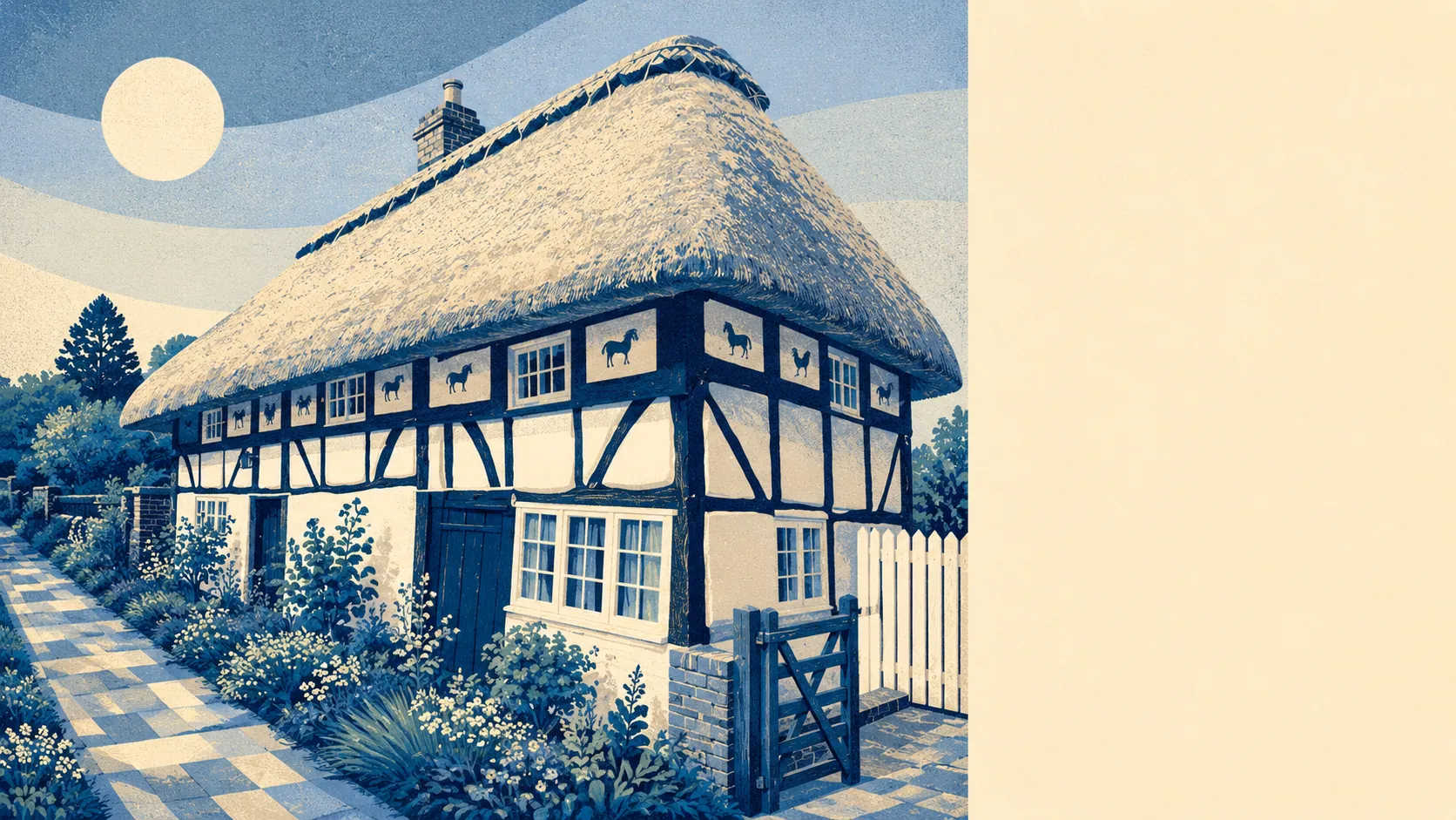
Excellent, and the surrounding countryside does most of the talking. A typical postcode is about 150 metres from the nearest green space, with around 17 separate green spaces within a kilometre of any given doorstep. The nearest blue space is about 230 metres away. The wider parish reaches into the South Downs National Park to the south. A ring of small West Sussex villages surrounds the place on every other side. This is the dimension of Henfield that does the heavy lifting on its appeal.
The green space access is the headline of the surrounding area, and it's the headline for a reason. Around 17 separate green spaces within a kilometre of any given postcode is a rural-village figure that holds even after rounding. The nearest one is about 150 metres on average, which is the equivalent of two streets in any direction before grass appears. Blue spaces (rivers, ponds, watercourses) are barely further: about 230 metres to the nearest, with around 21 within a kilometre. The South Downs National Park reaches into the southern edge of the parish through villages like Fulking, which means the official protected-landscape designation is not on the village footprint itself but is genuinely on the doorstep for anyone living on the southern half of Henfield.
The character of the surrounding area is West Sussex rural without performing it. A cluster of named smaller settlements surrounds Henfield: Ashurst, Bines Green, Nep Town, Partridge Green, Shermanbury, Small Dole, West End, Wineham, Woodmancote, Edburton and Fulking. Together they cover a few square miles of fields, lanes and farmhouses, with the road junction at the centre of the village functioning as the local crossroads. The Blackstone area carries its own conservation designation in the wider parish, which tells you the historic settlement pattern is denser than the modern road map suggests. Heritage anchors like the moated site at Ewhurst Manor sit in the wider landscape as evidence that people have been farming and fortifying this corner of West Sussex for a long time. The named cycle and walking routes are reasonably close, with the National Cycle Network within reasonable reach of about two in five postcodes, though the further ones are a bit of a hike before you join it. None of the surrounding settlements has the volume to compete with Henfield, which means the village functions as the local centre for the area rather than competing with a bigger neighbour.
Excellent. The surrounding area is the strongest dimension this village has, and the reason most buyers landing here arrived in the first place.