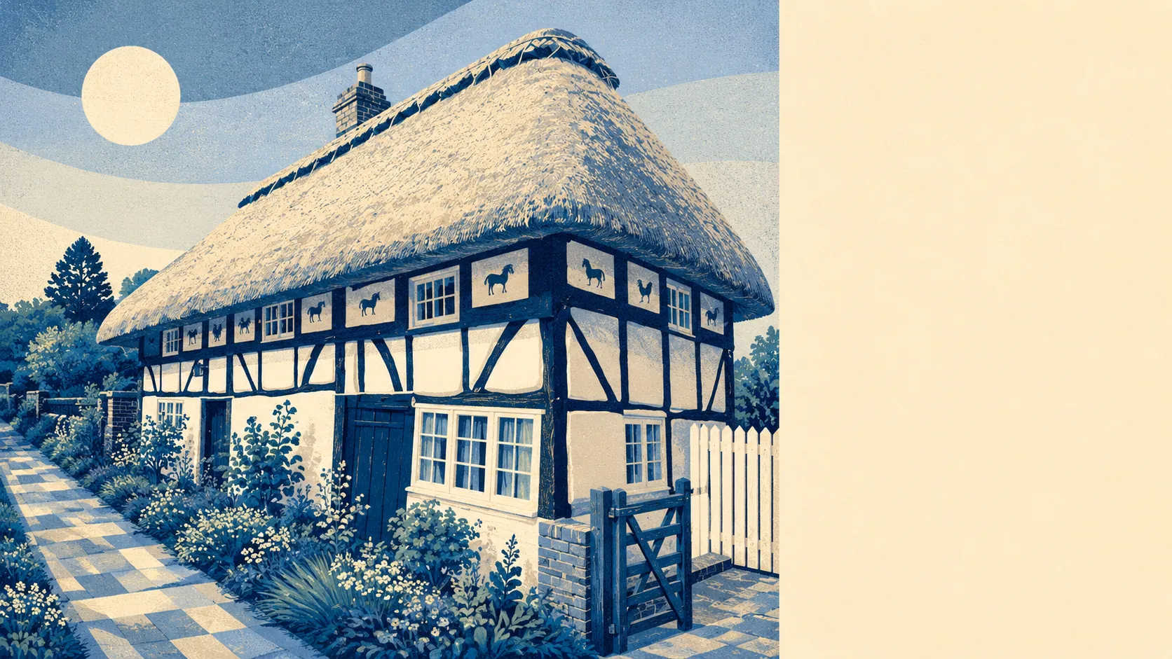
Henfield is what happens when a Sussex village decides it has nothing to prove. Forty-one miles south of London. Twelve miles northwest of Brighton. The road junction of the A281 and A2037, which is the kind of geographic fact that tells you everything about what the place is and isn't. Not the village pretending to be a town. Not the town pretending to be a village. Just a place that does its own thing on the road to Shoreham.
The housing tells the rest. Two-thirds of the stock is houses, and roughly the same share of bungalows as flats, which puts it well outside the typical post-war commuter belt where flats have crept in around the station. The dominant age band is post-war, built between the early fifties and the early eighties, with about an eighth of the stock predating 1930. Energy ratings come out about how you'd expect from that mix: half the homes are rated A to C, about a third sit at D, and roughly one in seven is at E or worse. The Victorian and Edwardian survivors do what they always do, which is look beautiful and cost a fortune to heat.
Buying in Henfield will cost you. The typical sale price over the last year was about £515,000, with 71 transactions to back the number up. A detached house ran to about £660,000; a semi to about £445,000; a terrace to about £358,000; a flat to about £238,000. The council tax modal band is C, but the picture is heavier than that suggests, with only about 15% of homes sitting in bands A or B. The bottom of the market is thin and the middle is where the money lives.
Renting is a different conversation, because the only honest rent figure on the table is the typical private rent across the Horsham area, which sits at about £1,450 a month. That's a Horsham District average, not a Henfield-specific number, and the village itself will sit somewhere on the higher side of that given the property mix. Annual rent change across the area was 3.8% on the latest read.
Crime sits at about 49 incidents per thousand residents over the last 12 months, which is roughly 15% below the Horsham average. The published rate is the cleaner comparator, because the dividing-incidents-by-population maths uses different denominators and tends to mislead. The headline reads as safer-than-average for the local authority, and that's what it is.
Schools are the section where the brief asks for restraint. The primary picture covers St Peter's CofE Primary School in the village. KS2 maths sits at about an average score of 103, which is around the national midpoint. Beyond that, the brief doesn't carry recent Ofsted gradings to summarise, so the right move is to say what's there, not to over-claim the verdict. Secondary provision is a journey out of the village, with the typical secondary school sitting at about 22 minutes by car and over half an hour on public transport.
Connectivity is the weakest dimension here, and the brief calls it that. Less than 1% of working residents commute by train, which tells you most of what you need to know about the realistic rail option from Henfield. About 22 bus stops cover the place, but the bus share of commuting sits at about 1%. Driving carries the load at roughly half of all commutes, and working from home runs at about 38%, which is the modern Sussex village in one number. Broadband is the redeeming bit: full superfast coverage across the village, and about half of postcodes can get a gigabit connection if they want one.
The flooding picture is mostly reassuring with one honest caveat. Environment Agency flood zones cover less than 1% of the place. But the postcode-level surface and groundwater picture is busier than that: about 11% of postcodes carry some high-risk indicator, about 9% medium, and about 29% low. Translated to a buyer's instinct: check the specific address, don't assume the headline number tells you about your prospective garden. Green space is the brief's standout, and it earns the 5/5 it carries. The average postcode is about 150 metres from the nearest green space, with 17 of them within a kilometre, and the nearest blue space is just over 200 metres away. That is the South Downs doing its job.
Heritage constraints matter here. There are 73 listed buildings in Henfield, four of them Grade II*, and the brief flags one conservation area covering Blackstone and the village itself. Practically: if you buy one of the listed properties, your kitchen extension will go through a process. Most homes in the village aren't listed, but the conservation area picks up streets that the listing register doesn't, so the planning conversation runs further than the listed count alone would suggest. The brief names Old Lock Farmhouse, Potwell, Rus House, Wantley Manor and the parish churches of St Giles, St James and St Peter as the heritage anchors of the village.
Seven in ten households own. The median age is 50. The household income median sits at about £61,000. Those three numbers are the place. This is settled, mid-career to early-retirement, owner-occupier Sussex. The single-pensioner share runs at about a fifth, and couples with children sit at about 18%. It's a village that has families in it without being defined by them.
This page covers Henfield and the immediately surrounding settlements that share the BN5 postcode: Edburton, Fulking, Small Dole and Woodmancote. The character holds across most of them, with the South Downs doing the heavy lifting on the southern edge.
Henfield is for buyers who want the village without the affectation, the South Downs without paying for an AONB postcode, and the Brighton commute without living in Brighton. It's for people who'll drive, work from home most days, and consider the train an occasional luxury rather than a daily tool. The ones who land here happily are the ones who already knew they wanted a house with a garden and were willing to pay for it.
It's not for first-time buyers chasing a flat near a station. It's not for anyone whose week depends on getting into central London by 9am. And it's not for the buyer who thinks "near Brighton" means "Brighton on a Saturday night within twenty minutes by public transport", because it doesn't.
On the scoring, Henfield comes out at above average overall. The surrounding green space and South Downs access is the strongest dimension, doing the heavy lifting on the verdict. The weakest is connectivity, which is what you sign up to when you choose a Sussex village over a Sussex town. If those trade-offs read as the right ones to you, this is one of the good ones. If the connectivity number is the deal-breaker, you already know what to do.