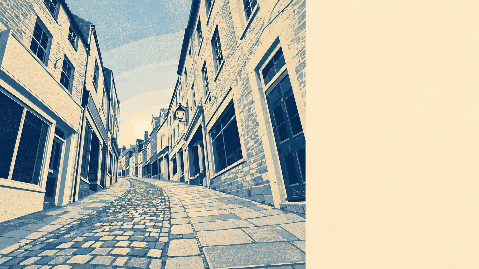
Fine by car, thin by everything else, and the internet is better than both. The town has its own station and almost nobody uses it to get to work. Half of Frome drives instead. Nearly a third does not commute at all because the office is a back bedroom. This is a town connected to the world by broadband and to the region by A-roads, with the railway as a pleasant afterthought.
Frome Rail Station sits on the eastern edge of town, with Bruton and Dilton Marsh the other stations in the wider area, and direct trains running toward Bristol, Bath, Exeter, Weymouth and London. Under 1% of residents commute by train, which is the sort of figure that makes a station feel more like a heritage asset than infrastructure. There are 221 bus stops across the area and about 1% of people commute by bus.
What actually happens on a weekday morning is this: about 51% drive, about 30% work from home, about 11% walk and about 1% cycle. Around 41% of households run two or more cars, and about 16% have none at all. That second number is the interesting one, because it means a sixth of the town is managing without a car in a place where the car is plainly the default.
Getting to the nearest town centre takes about nine minutes by car, 15 by public transport, 12 by bicycle and 23 on foot. Those are modelled national statistics for the area rather than a route from any particular front door, and in a town built on uneven high ground the walk figure hides a hill or two.
Broadband is the strongest thing here. Gigabit service reaches about 89% of premises and superfast about 95%, which for a Somerset town of this age and layout is a better result than the housing stock would suggest.
Mobile coverage is close to universal, with fourth or fifth generation service from at least one operator at roughly 100% of the area and from all operators at about 97%.
The Department for Transport's journey-time statistics put a general practice about nine minutes away by car, 21 minutes on foot and 17 by public transport. A food store is about seven minutes by car and nine on foot, which is genuinely walkable. Employment centres sit about eight minutes by car and 21 by public transport. The hospital is the outlier at about 42 minutes by car and around 86 by public transport, which means anyone without a car is looking at the better part of an hour and a half each way. Those public transport figures date from 2019 and services have been withdrawn across rural Somerset since, so treat them as the optimistic version.
Bus stops are not the same as buses. Across the 185 stops with service information, the average is 53 scheduled departures on a weekday, working out at roughly four buses an hour at peak. About 80% of those stops see some service at weekends. That is a real bus network by rural standards and still not one you would build a life around.
On noise, roughly 100% of the area's postcodes sit near or above the 65-decibel road threshold, which is the level at which official noise mapping starts treating traffic as a problem rather than a background condition. The loudest modelled band present reaches 75 decibels and above. That reflects proximity to modelled road noise rather than what any particular room sounds like with the windows shut, but it does say something about a town with a bypass on two sides and a main road through the middle. Rail noise is a separate source and touches only about 2% of postcodes.
For electric vehicles there are ten public charge points in the area, with 21 connectors between them, of which two are rapid. That makes charging something you plan around rather than something you do while picking up milk.
Connectivity here lands a little above the middle, carried almost entirely by the broadband and the road network rather than the timetables. The station is a genuine asset for the occasional trip and a poor foundation for a daily commute.