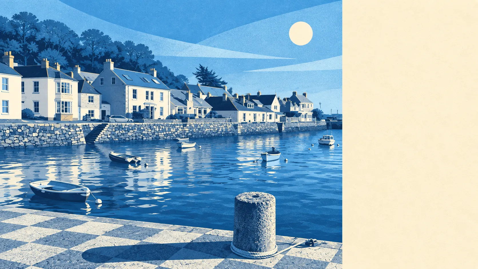
Water, mostly, and the rest is fields pretending to be countryside because that is exactly what they are. Open water starts about 200 metres from the average front door. Green space is closer than the nearest shop. Private gardens here are enormous by any urban standard. The trade is that the National Cycle Network is miles away and the nearest thing to a high street is on the other side of the estuary.
Green space is close and plentiful. The typical postcode sits around 277 metres from a park, common or accessible green area, with about six such sites within a kilometre. That is a walk in slippers rather than an expedition, and it is the sort of provision town-dwellers assume they have until they measure it.
Water is closer still. Open water averages around 207 metres from the typical postcode, with roughly 49 separate bluespace features within a kilometre, which is what happens when a village is built along a creek off the Carrick Roads with inlets on both sides. In most places the water is a view. Here it is the reason the roads bend.
Cyclists should read the next line carefully. The nearest National Cycle Network route sits around 5.6 kilometres away, and no postcode in the village counts as close to one. There is no ancient woodland recorded in the area at all. Getting out on a bike means the lanes, and the lanes around Mylor Churchtown and Restronguet Weir were laid out for horses and have never been widened for anything else.
The commercial picture depends entirely on how wide you draw the circle. Across the wider postal area covering Falmouth and its villages, the rating list records 321 shop premises, 40 restaurant premises, 33 pubs and 125 offices, along with 564 holiday letting units. Those are rateable premises on the valuation list rather than a count of businesses currently trading, so treat them as capacity rather than a directory.
Zoom in on the village itself and the list shrinks to 41 rateable premises in total, with a single category accounting for 30 of them. There is no high street here in any meaningful sense, and anyone hoping otherwise has misread the map: Flushing is a residential village with a couple of things to eat in and a great deal of water.
Air quality is good. Fine particulate levels across the Cornwall council area averaged about 5 micrograms per cubic metre in 2024, which is low by English standards and unsurprising for a peninsula that the Atlantic ventilates continuously.
Private outdoor space is the number that separates this from any town. Gardens here amount to roughly 288,000 square metres per 1,000 residents, which is a rural figure and a real one: houses in this area have their own outdoor space, not a shared courtyard with a bike rack in it. Beyond the village, the gardens at Enys and Penjerrick sit within reach, as do the creek-head settlements at Restronguet Barton and Budock Water.
On eating out, the village has 7 rated food premises, of which about 86% hold the top food hygiene score and roughly 14% sit at the lower end. Seven premises is a small sample, and the identity of the one dragging the average down is not something this page will speculate about.
One honest absence: no area of outstanding natural beauty, no site of special scientific interest and no ancient woodland overlaps the village. The surroundings are beautiful without being formally designated as such, which mostly means the protections here come from the conservation area and the listed buildings rather than from landscape status.
The setting is the best argument for living here, comfortably. Water on the doorstep, green space within a few hundred metres, gardens that would be a fantasy in any town, and an air-quality figure that makes the whole thing feel deliberate. The countryside is working farmland rather than protected wilderness, and it is none the worse for it.