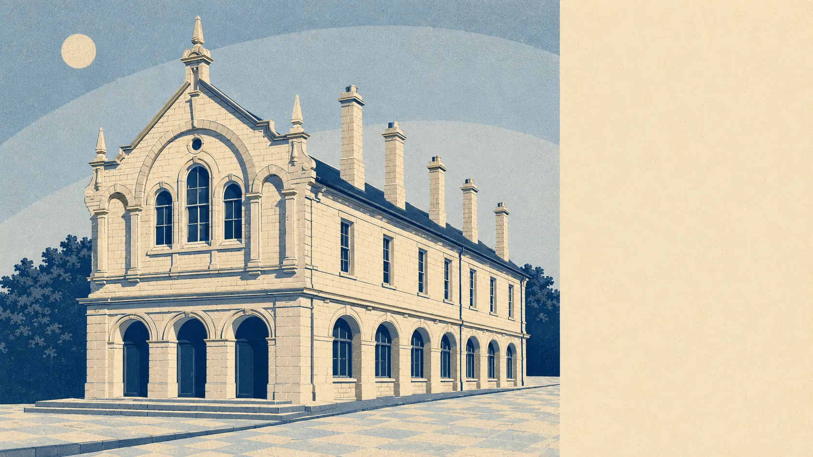
Green, quiet, and entirely unbothered about impressing anybody. Green space starts about two hundred metres from the average front door. There are roughly fifteen separate patches of it within a kilometre and water inside half a kilometre. Nothing here carries a protected-landscape label or a brown tourist sign. This is working countryside rather than scenery, and the town is better off for it.
The green space access is the headline. Measured from the average postcode, the nearest green space sits about 210 metres away, with about 15 of them inside a kilometre. That is not one municipal park doing all the work while everyone pretends the rest is countryside. It is a town small enough that the fields start before the postcode ends.
Water is close as well, at about 490 metres from the average postcode, with about 8 separate water features within a kilometre. The town sits on the main headwater of the River Parrett, so this is stream and river country rather than anything you would swim in on purpose.
Cycling is where the surroundings stop cooperating. The National Cycle Network averages about 8.6 kilometres away, and no postcode in the area counts as close to it. Getting to the cycle network is itself a cycle. No ancient woodland is recorded in the area either, so the trees here are hedgerow and beech rather than anything with a preservation pedigree.
The high street is made of 83 shop premises, 15 pubs and 3 restaurants. Fifteen pubs against three restaurants is not an oversight. It is a value system, and it tells you more about a Friday night here than any amount of description would.
On air quality, fine particle levels across the council area ran at about 5.5 micrograms per cubic metre in 2024, which is the figure for the wider council area rather than a reading taken at the end of any particular street.
The character comes from what sits around the town rather than in it. Hamlets at Clapton, Coombe, Henley and Woolminstone scatter out towards the Dorset border, with Hinton House and Wayford Manor as the registered parks and gardens in the vicinity. Haselbury Bridge and the site of Mohun Castle are scheduled monuments within reach, Bincombe Beeches is a local nature reserve on the northern edge managed by the town council, and the Monarch's Way runs through, tracing the escape route Charles II took after the Battle of Worcester in 1651. A footpath named after a king running away is about right for the general energy of the area.
Private outdoor space is the number most listings never mention and most buyers actually want. Gardens here come to about 124,000 square metres per 1,000 residents. In plain terms, houses in this town have proper gardens rather than the paved rectangles that pass for outdoor space closer to a city.
The valuation list records 267 rateable premises across the area, including those shops and pubs alongside 53 office premises and 22 holiday lets. Rateable premises are units on a list rather than businesses currently trading, so treat the count as capacity rather than as a directory of open doors. The holiday let figure is the one worth noticing, because it says the surrounding countryside is something other people already drive here for.
Eating out is safer than the restaurant count suggests. Of the 49 rated food premises in the area, about 90% hold the top food hygiene score and about 2% sit at the bottom of the scale.
There is no area of outstanding natural beauty here, no site of special scientific interest inside the area, and no ancient woodland. That absence is worth stating plainly rather than glossing over. The countryside around Crewkerne is ordinary English farmland doing its job, not a designated landscape with a visitor centre and a car park charge.
The surroundings are the strongest thing this town has, and it is not a close-run argument. Green space within a couple of minutes of nearly every door, gardens with actual grass in them, and fields that start where the houses stop.