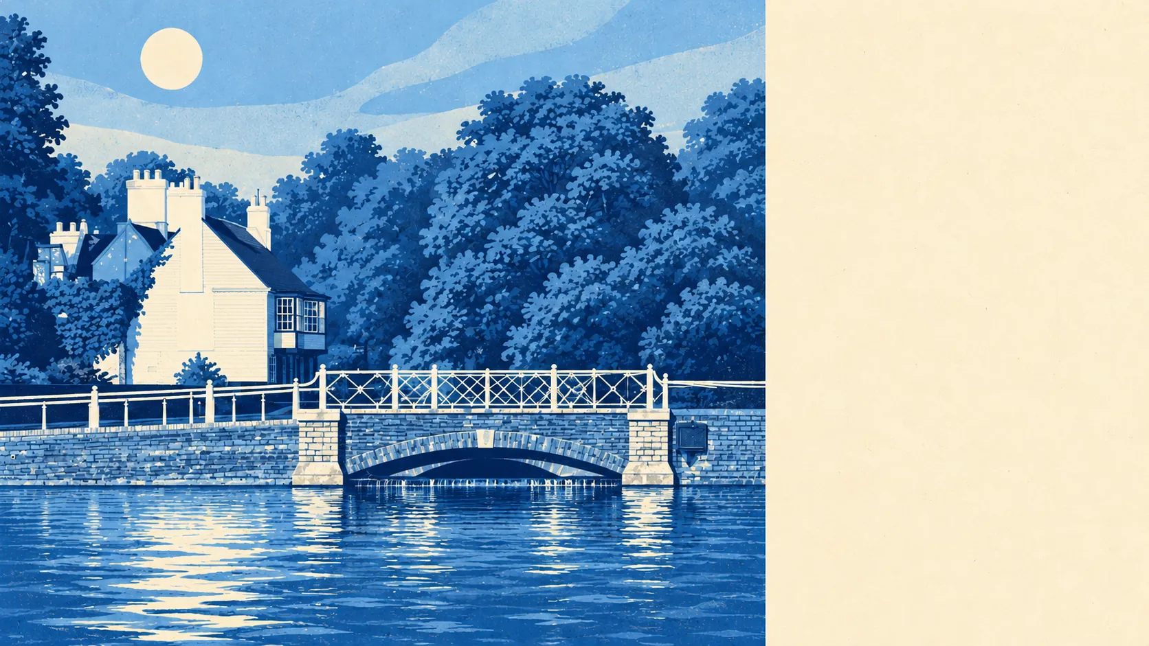
Only a little from rivers, and more from rain. Very few homes are in a river flood zone. About one postcode in eight is at high risk on at least one flood measure. No flood is on record here. Rivers barely matter here, but heavy rain does.
On the Environment Agency's river-and-sea flood map, about 1% of Carshalton's postcodes are in Flood Zone 3, the highest-probability zone, and about 3% more are in Flood Zone 2, the medium-probability band just outside it. The two zones don't overlap, so together they cover only a sliver of the town. The River Wandle starts at Carshalton Ponds, so near home it is still a set of springs and a pond.
Surface water is a separate risk. The flood zones above leave it out completely, and it only appears in the wider postcode measure further down, which flags far more postcodes. Carshalton's name may come from an old word for a spring or well, and the village grew up around its water. Buyers today would mostly prefer that water stayed in the ponds.
Allowing for a changing climate, the Environment Agency's projected flood zone covers about 4% of postcodes. That shows how the modelled river zone could spread over time. It does not predict when, or whether, any street will flood.
For insurance, a house in the river zones or on a surface-water flow path can mean higher premiums, a larger excess or a harder search for cover. Get a quote on the exact house early, while you still have time to walk away.
Across all flood measures, including surface water, about 12% of Carshalton's postcodes are at high risk on at least one measure, 24% at medium risk and 46% at low risk. These shares overlap with the flood-zone figures and can't be added to them. They also explain why a house can be outside every river zone and still show up as high risk.
The Environment Agency also counts properties at risk from rivers and the sea. It lists 1,203 properties in the postcodes it records as having some risk: 34 at high risk, 164 at medium and 540 at low. Thirty-three of the high-risk properties are homes. Postcodes with no river or sea risk don't appear in this count at all. Thirty-four properties is a small number, and the real question for a buyer is whether the house they're viewing is one of them, so put the exact address into the Environment Agency's long-term flood risk checker.
In the Environment Agency's model, about 1% of postcodes are in the high-risk flood area without counting defences, and about 1% are in it with defences counted. In other words, the model's defences make almost no difference to the high-risk figure. A defence counts as present only because it is in the model. That doesn't mean a house behind it is safe.
The nearest tide gauge is at Portsmouth, where sea level rose by about 2 millimetres a year between 1962 and 2023. That was measured a long way from here. For Carshalton, which is inland in south London, the sea is a minor concern.
No historic flooding is recorded anywhere in the area. That is reassuring, but it proves only that no flood was recorded, not that none ever happened.
Carshalton's flood risk is middling. The rivers are a small threat and surface water is the larger one, so the risk to the particular house you buy is what counts.