Burnham-on-Crouch is a fair town to live in, with one figure dragging the rest down: about 63 recorded crimes for every 1,000 residents. It matters because this is a small sailing town, and buyers come expecting the evening walk along the river to be the calmest part of the day. Most of that figure is violence. That changes how a place feels after dark more than any other kind of crime.
Essex Police recorded crime in Burnham-on-Crouch at about 63 per 1,000 residents in the year to May 2026. That is about 21% above the Maldon district average of roughly 52. Violence and sexual offences make up about 49% of the total, against 35% across England and Wales, though that statutory heading also covers common assault where nobody was hurt. Anti-social behaviour runs below the national share, at about 10% against 16%. Across its whole force area over the same year, Essex Police charged someone in about 11% of cases, a shade under the national 12%. The town sells itself on regattas, but most of its rows happen on dry land.
The river that made Burnham also sets its flood picture. About 20% of the area falls inside the Environment Agency's highest river-and-sea flood zone. Separately, about 11% of postcodes carry a high rating on at least one flood indicator, surface water included. The Agency holds 25 recorded flood events here, the latest from the sea in February 1953. The shoreline management plan for this stretch of coast says "hold the line" for the next 20, 50 and 100 years. That is a stated intention, and it depends on the money arriving each time. The view from the front and the insurance quote are both about the same water.
Burnham-on-Crouch, Althorne and Southminster stations are all on the Crouch Valley Line, which runs direct to London Liverpool Street at peak hours. Even so, only about 3% of working residents commuted by train at the 2021 Census. About 51% drove and about 30% worked from home. Being on the commuter-belt map and actually commuting on it turn out to be two different things here. The area has 22 bus stops, averaging about 84 weekday departures per stop. Gigabit broadband reaches about 71% of premises and superfast about 98%. Every mobile operator has 4G or 5G coverage across about 95% of the area. Driving to the nearest hospital takes about 44 minutes, a 2019 Department for Transport model that has aged better for cars than for buses.
About 72% of households own their home, and the typical resident is 49. The Office for National Statistics put average gross household income for the area at around £54,000 in the financial year to March 2023, a modelled figure before tax. That is the profile of people who arrive with a career behind them and a mooring in mind.
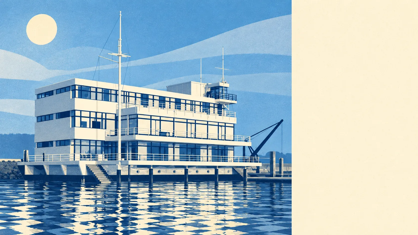
The town has 44 listed buildings: three Grade II* and 41 Grade II, with no Grade I. One conservation area covers the historic core, so changing the windows or the frontage of an older house there means asking Maldon District Council first. The most celebrated of the listed buildings is the Royal Corinthian Yacht Club, a modernist clubhouse Joseph Emberton designed in 1931. So the planning rules here protect a 1930s vision of the future as firmly as they protect the medieval church of St Mary.
The Land Registry recorded 95 sales in the year to May 2026, with a median of £325,000. Detached houses went for around £424,000, semis about £320,000 and terraces about £293,000. Flats came in at about £223,000, though there were only eight of those sales. With a market that small, one probate sale can move the median for flats. Band C is the most common council-tax band, and about 26% of homes are in bands A or B.
Maldon's local authority area as a whole has a typical private rent of about £1,150 a month as of April 2026, up about 8% on a year earlier. Burnham's own rents are not measured separately.
The council-tax valuation list covers every home, and it shows about 30% detached, 21% semi-detached, 21% terraced, 15% bungalows and 11% flats. About 20% were built before 1930. Bungalows outnumber flats, which tells you who the builders had in mind. On energy certificates, about 49% of rated homes are band C or better and about 16% are E or worse. About 74% heat with mains gas and about 9% with electricity only. Further out, Southminster, Tillingham, Asheldham and Stoneyhills add more of the same low-rise housing.
Local primaries include Burnham-on-Crouch Primary School and St Mary's Church of England Voluntary Aided Primary School. The two primaries counted in the area average about 108 in Key Stage 2 maths. The one secondary counted averages an Attainment 8 score of about 42. Ofsted's figures for the whole of Essex, where 218 of 246 graded settings are good or better, cover a whole county. They say little about the two primaries a Burnham family will actually choose between.
The surroundings are where the town earns its keep. The average home is about 166 metres from green space, with about 16 green spaces within a kilometre, and open water is around 290 metres away. Burnham Week has run in the last week of August since 1893, and the town's sailing clubs share it. Keith Musto won an Olympic sailing silver at Tokyo in 1964, then founded the Musto clothing company and sold the rest of the country the jacket. The feminist novelist Una Lucy Silberrad spent her later life here and is buried in the churchyard.
Burnham is right for people who want the river and the fields a short walk from the door, own a car, and plan their week around the water. It is the wrong choice for anyone who needs a fast daily train to work, or who wants a hospital close by.
Before buying, weigh the crime figure most heavily, because in practice it is mostly violence, and the town is small enough that you will know the streets where it happens. Against that, you get green space and open water at the end of almost every road. It is a middling place to live with a very good back garden.