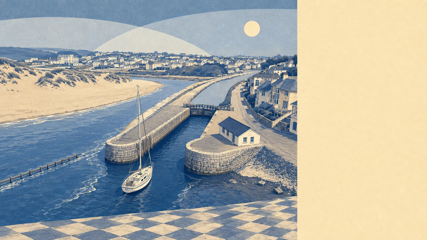
Coast on one side, farmland on the other, and almost nothing in between doing a bad job of either. Green space starts a minute from most front doors. Water is barely further. Roughly half the town sits within easy reach of a national cycle route. Bude is a town by function and a landscape by experience, and the second one is why people put up with the first.
The green space figures are the sort that usually belong to a village rather than a town. The average Bude postcode sits about 140 metres from open green space, with around 19 separate sites within a kilometre. That is not one municipal park doing all the work for everybody. It is a scattering of accessible ground, close enough that walking to it is a decision you make without thinking about it.
Water is closer still than most of the green. Blue space averages about 290 metres from a postcode here, with roughly 43 access points within a kilometre, which is what happens when a town is built at a river mouth on an open coast. Between the beaches, the canal and the river, the difficulty in Bude is not finding water. It is finding a route that avoids it.
For getting out further, the National Cycle Network runs an average of about 650 metres from a Bude postcode, and roughly 48% of postcodes sit close to it. The South West Coast Path passes through the town as well, taking walkers along the Carboniferous sandstone cliffs that make this stretch geologically distinct from the slate and granite most of Cornwall is built on.
The high street is smaller than the visitor numbers suggest. The valuation list carries 643 rateable premises across the area, including 198 shops, 54 offices, 20 pubs and 15 restaurants. It also carries 562 holiday lets, which is the number that explains the shape of the place better than any of the others. These are premises on a rating list rather than businesses currently trading, so treat them as capacity rather than as a directory.
Air quality for the wider council area sits at about 5 micrograms of fine particles per cubic metre as of 2024. That is a Cornwall-wide measurement rather than a Bude one, and it reflects a county with no heavy industry and a lot of open coast.
The town spreads into a run of small settlements that most maps treat as Bude and most residents do not: Flexbury and Crooklets to the north, Lynstone to the south, and Upton, Bush, Hele, Hillhead, Stibb and Launcells out into the fields behind. Two conservation areas cover parts of Bude and Poughill. On the ridges above Bude Bay sit three bowl barrows, which have been there considerably longer than the resort, the canal or anyone's opinion about beach parking.
Private outdoor space is the thing nobody quotes and everybody wants. Across the six neighbourhoods measured, gardens amount to roughly 166,000 square metres per 1,000 residents. In plain terms, houses here have gardens that function as gardens rather than as bin storage with ambitions.
On eating, 102 premises hold a food hygiene rating, and about 70% of them hold the top score. Around 1% sit at the bottom of the scale. For a town whose population multiplies every summer, that is a better record than the pace of a July kitchen would lead you to expect.
One honest absence is worth stating. No area of outstanding natural beauty, no site of special scientific interest and no ancient woodland overlaps the area covered here. The landscape is unprotected in the formal sense, which is a fact about designations rather than about scenery. It also means fewer of the additional consents that designated land brings with it.
The surroundings are the best thing Bude has, without much competition. Green space and water within a few minutes of nearly every address, real gardens behind the houses, and a coast path running through the middle of it.