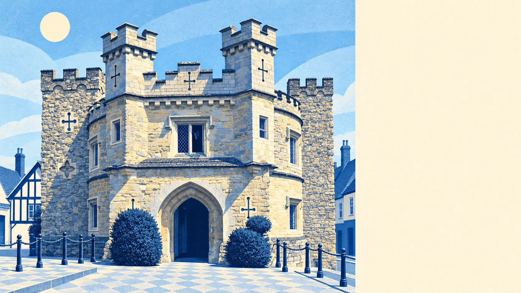
The area around Buckingham is green, close by and easy to reach on foot. A park or field is a couple of minutes from most front doors. Water is barely further. The market still runs twice a week. A National Trust landscape garden is just up the road, and none of the countryside carries a protected designation.
The average home in Buckingham has 23 green spaces within a kilometre, and the nearest is about 120 metres away. That is less than a lap of the market square for most of the town.
Water is nearly as close. The nearest river, pond or other open water is about 240 metres away on average, and the typical home has 35 such spots within a kilometre. The River Great Ouse loops round the old town, and a stretch of the old canal to the east has been restored.
The nearest stretch of the National Cycle Network is about 660 metres away on average, and about 45% of homes are close to it. There is no ancient woodland in the area.
The Food Standards Agency's register shows what the high street is made of: 192 shops, 31 pubs and 9 restaurants. With 31 pubs and 9 restaurants, the town does far more drinking than dining out.
Across Buckinghamshire as a whole, fine-particle air pollution averaged about 7 micrograms per cubic metre in 2024. That is a county-wide figure, and it doesn't measure any particular street in Buckingham.
The market has run under royal charter since 1554. Stalls go up every Tuesday and Saturday, and on Saturdays a flea market runs on the old cattle pens. The Hidden Quarter around Well Street and Bridge Street is where most of the independent shops are. Stowe's eighteenth-century gardens, looked after by the National Trust, are a short drive west. A Parkrun has been held every week since 2014. Out in the countryside, Chackmore, Gawcott, Padbury, Tingewick and Thornborough are the villages people from Buckingham drive through and then start looking at on property sites. On the edge of town there is an exact degree confluence point, where a whole line of latitude crosses a whole line of longitude, so Buckingham's place on the map is about as precise as a place can be.
Homes have generous private gardens. Across the area there are about 96,000 square metres of garden for every 1,000 residents, which reflects the semis and detached houses on the post-war estates. Plenty of residents don't need a park because they already have a lawn to mow.
The council-tax valuation list shows what kind of premises the town has. It holds 514 business premises in total, including 125 shops, 102 offices, 66 workshop and factory units and 59 warehouses. Those are premises on the valuation list, so some may be empty or between tenants. Even so, the list shows a working town, with industrial units behind the shopfronts.
Of 94 food premises with a hygiene rating, about 87% hold the top score of five, and about 3% are at the bottom end of the scale.
None of the area is covered by a protected designation. There is no area of outstanding natural beauty, no site of special scientific interest and no ancient woodland, so the green space here is ordinary fields, river meadows and parks. That makes it easier to use day to day, though nothing protects it.
The surrounding area is one of Buckingham's real strengths. Green space and water are a few minutes' walk away, the market and the high street are still busy, and Stowe is a short drive up the road.