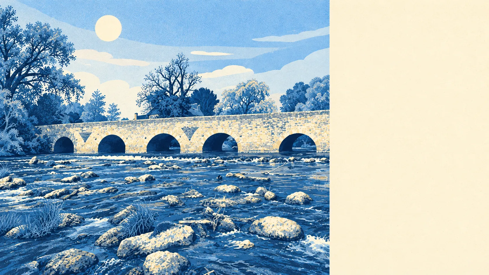
Bromham has some flood risk. Most of the village is high and dry. Only about one postcode in a hundred is in the highest-risk river zone. About one in eleven gets a high rating once rainwater is counted as well. Most front doors are fine, though a small number of homes do have a real problem.
On the Environment Agency's river-and-sea flood map, about 1% of Bromham's postcodes are in Flood Zone 3, the highest-probability band, and about 4% are in Flood Zone 2, the medium-probability band beyond it. The two zones don't overlap, so together they cover a small part of the village. The parish's one scheduled monument is Bromham Bridge, and Stevington, which this page also covers, is on the River Great Ouse. The water has been part of local life for a very long time.
Surface water works differently. It comes from heavy rain landing on ground or drains that can't take it, and it doesn't follow the river zones, so a house on rising ground well away from any bank can still get water in the garage. The postcode figures further down include it alongside rivers and the sea.
Looking ahead, the Environment Agency's climate-adjusted mapping puts about 7% of Bromham's postcodes in the flood zones. That allows for wetter conditions than today's map, and the extra postcodes are mostly near the edges of the zones that already exist.
Insurers price individual homes, and the village average doesn't come into it. A house in or next to a mapped zone can cost noticeably more to insure, or have flood cover limited, while one a few streets uphill may hardly register. Get an insurance quote on the exact house early in the purchase. In Bromham the gap between two neighbouring streets can be bigger than any village-wide figure suggests.
Counting every measure, including rivers, the sea and surface water, about 9% of Bromham's postcodes rate high on at least one of them, about 16% medium and about 30% low. A postcode only needs to score on one measure to be counted, so these shares are bigger than the river zones on purpose.
Counting homes instead of postcodes, the Environment Agency's rivers-and-sea mapping lists 243 properties in the postcodes that carry any risk at all. Of those, 13 are at high risk, 23 medium and 40 low. Eight of the 13 high-risk properties are homes. Postcodes with no river or sea risk aren't counted, so the 243 is the at-risk part of the village and doesn't include everyone else.
On flood defences, about 1% of postcodes are inside the high-probability flood extent whether or not defences are included in the model. Adding defences to the model doesn't change that small group at all. Whatever is between those homes and the water hasn't lowered their modelled risk, and "defended" on a map is no promise that the house stays dry.
Bromham is well inland, and the nearest tide gauge is at Portsmouth, which recorded sea level rising about 2 millimetres a year between 1962 and 2023. That is the rate measured there over those years. In Bromham the risk comes from rain and the river, and the sea plays no part.
None of Bromham's postcodes is inside a recorded historic flood outline. The Environment Agency's register holds 11 recorded flood events for the wider area, and the most recent is dated 1980. A record that has been quiet since 1980 is genuinely reassuring, though a gap in the record doesn't prove the water never came.
Bromham's flood risk is middling. Most of the village is fine, and a small, mapped group of homes near the water and in the rain-prone spots needs proper checking.