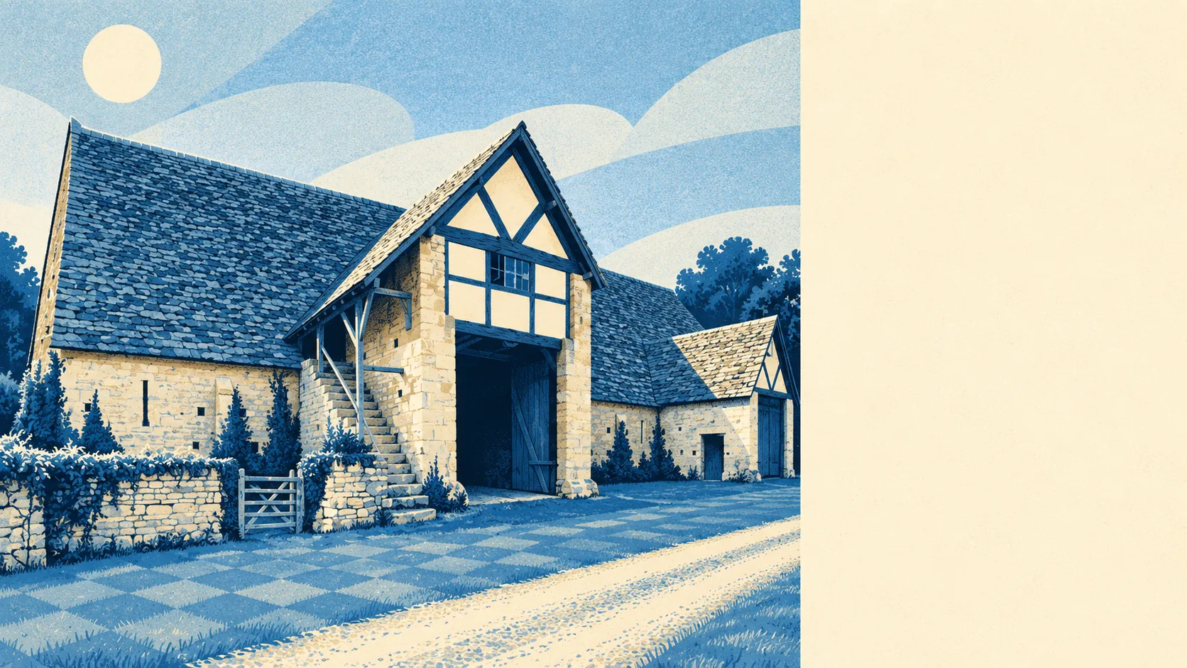
The countryside around Bredon is the main reason to live here. Bredon Hill rises behind the village and the Avon runs below it. Green space starts a short walk from most front doors. Hardly any of it carries an official protected label. It is lovely without the paperwork that usually comes with lovely.
The average Bredon home has about 10 green spaces within a kilometre, and the nearest one is roughly 180 metres away. In practice that means a field, a footpath or the edge of the hill is close by from almost anywhere in the village.
Water is just as easy to reach. The nearest river, stream or pond is about 430 metres from the average home, and there are about 10 within a kilometre. The River Avon is the main one. It has decided where the village was built since the first settlement, and it still sets the view.
Getting further out takes more effort. The nearest stretch of the National Cycle Network is about 2.5 kilometres away on average, and none of Bredon's postcodes are close to it. There is no ancient woodland in the area, so walkers head up the hill instead.
The ratings list for the wider GL20 postcode district, which Bredon shares with its post town of Tewkesbury, holds 251 shops, 31 pubs and 10 restaurants. Most of those are in the town. Bredon has the village, and Tewkesbury has the shops.
Wychavon's average fine-particle pollution was about 6 micrograms per cubic metre in 2024. That covers the whole district, so it is a background figure for the area around Bredon.
Bredon is the largest of a ring of villages around the lower slopes of Bredon Hill, with conservation areas in Bredon's Norton, Kemerton, Overbury and Westmancote. Overbury Court and Kemerton Court are among the listed buildings in the surrounding parishes, and Twyning is on the other side of the river. Bronze Age farmers picked these slopes first, and every generation since has agreed with them.
There is roughly 270,000 square metres of private garden for every 1,000 people in Bredon, which is a great deal of lawn per resident. Most of the village has its own outdoor space before anyone needs the hill at all. Half the homes are detached houses on decent plots, and they have the gardens to go with them.
Bredon's own business rates list has just 46 rateable premises. The most common kind are workshop and industrial units. After them come communications masts, warehouses, shops and offices, a handful of each. These are premises on a valuation list, which may not match what is open on any given day. The mix is a working village with a few small businesses, and almost nothing of a high street.
Eating out locally is a small affair. Four food premises in Bredon carry a hygiene rating, and 75% of them hold the top score. None have a low rating. There are only four, so one new opening or one bad inspection moves the percentage a long way.
None of Bredon's postcodes overlap an Area of Outstanding Natural Beauty, a Site of Special Scientific Interest or any ancient woodland. Up the hill it is a different story. Kemerton, round the slope, has the northern half of its parish inside the Cotswolds protected landscape. Bredon is the unprotected English countryside below it, and it looks the part all the same.
The village's surroundings are where it does best. The hill, the river and a garden of your own are all close by, and the town is a short drive away whenever you need the shops.