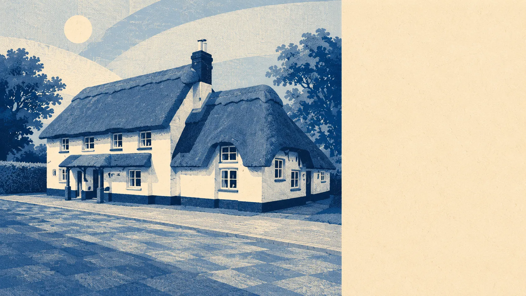
Open, green, and closer to water than to a supermarket. The typical front door has about four green spaces within a walk and sixteen bits of water within a kilometre. The villages around it run to a church, a green, a horsebox and a speed limit nobody enforces. This is the New Forest fringe doing what people imagine the New Forest fringe does. The surroundings are the product here, and everything else on this page is the price of standing in them.
Green space is genuinely on the doorstep rather than a drive away. The average postcode sits about 560 metres from a green space, with roughly four of them inside a kilometre. That is the sort of access that turns a dog into a routine rather than a project, and it is spread across the area rather than clustered around one park that everyone has to share.
Water is closer still. The average distance to blue space is about 390 metres, and there are around 16 water features within a kilometre of the typical postcode. Streams, ponds and river channels thread through the whole area, which is pleasant in June and worth understanding on the flood maps in January.
For getting out into it properly, the National Cycle Network averages about 1.9 kilometres from the typical postcode, with about 5% of postcodes sitting close to it. Ancient woodland covers about 0.4% of the area, which is a small share and a disproportionate amount of the character. The New Forest Site of Special Scientific Interest clips the edge of the area at about 0.7%.
The commercial texture is spread across the wider postcode districts rather than concentrated in a high street. The rating list across those districts carries 692 shop premises, 50 pubs, 43 restaurants, 565 offices and 143 holiday lets. That last number is the tell. This is somewhere people visit deliberately, and the pub-to-restaurant balance says what kind of evening the area is set up for.
Air quality is unremarkable in the good sense. Fine particle levels across the council area averaged about 6 micrograms per cubic metre in 2024.
The character comes from the surrounding villages rather than from Bransgore doing anything showy. Thorney Hill, Sopley, Winkton, Neacroft and Burley all sit within reach, each with its own church and its own opinion about the others. All Saints at Thorney Hill was built in 1906 from Caen stone, and the wall paintings inside by Phoebe Anna Traquair used local people as the models, which is a more interesting way to be immortalised than most villages manage. Avon Tyrrell sits nearby as a registered park and garden. None of it is arranged for visitors, which is precisely why it works.
Private outdoor space is the part nobody quantifies and everybody actually wants. There is roughly 459,000 square metres of private garden per 1,000 residents across the area. Gardens here are not courtyards with a bike in them. They are the reason people put up with the driving.
On the immediate business side, the valuation list carries 248 rateable premises in the area. Those are premises with a rateable value rather than a guarantee of anything currently trading behind the door, and in a place with this many holiday lets and small offices, the two are not the same thing.
Eating out is a smaller scene than the district counts suggest but a well-run one. Of the 66 premises with a food hygiene rating in the area, about 85% hold the top score and about 2% sit at the bottom end.
The surroundings are the strongest argument this place makes. Green space and water on the doorstep, big gardens behind the houses, and a ring of villages that have not been tidied into a theme. If the outdoors is what you are buying, this delivers it without asking you to pretend.