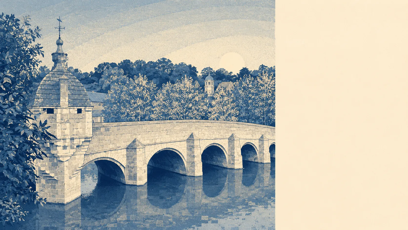
Green, wet, and hemmed in on purpose. Countryside starts at the end of most streets. Water is closer than the corner shop. A green belt wraps the entire town, so the fields you can see are the fields that stay. This is a place that was stopped from sprawling, and the walking is the dividend.
Green space sits roughly 150 metres from the average postcode, with about 25 separate green spaces within a kilometre. That is not one big park doing the work for everybody. It is a scatter of commons, riverbank, country park and field edge close enough that nobody has to drive to reach any of it, which is the difference between a place that has green space and a place where people actually use it.
Water is nearer still, about 300 metres from the average postcode, with around 36 blue spaces within a kilometre. The River Avon runs through the middle of town and the Kennet and Avon Canal runs parallel to the railway, which means most of the town is within a few minutes of a towpath. The town grew up around a ford and it has never really stopped being a river town.
The National Cycle Network passes within roughly 570 metres of the average postcode, with about 49% of postcodes sitting close to it. No ancient woodland falls inside the area, so the wooded bits here are ordinary woodland rather than anything ecologically protected.
Private outdoor space is generous and rarely mentioned. Gardens work out at roughly 126,000 square metres per 1,000 residents, which is a lot of hedge to cut. The stone terraces in the centre are the exception rather than the rule, and most of the town has a proper back garden behind it.
On designations, about 1% of the area falls inside the Cotswolds National Landscape, so the formal protection is a fringe rather than a defining feature. There is no site of special scientific interest here and no ancient woodland. The landscape is protected by green belt policy and by the sheer difficulty of building on a valley side, not by a conservation label.
Air is clean by any measure that matters. Fine particle pollution across the Wiltshire council area ran at about 6 micrograms per cubic metre in 2024, which is a council-wide figure rather than a street-level one.
The high street is smaller than the tourist trade suggests. The valuation list carries 331 rateable premises in the area, including 112 shop units, 98 offices, 18 pubs and 5 restaurants, plus 32 holiday lets, which is the number that quietly explains the weekend crowds. Those are premises on a list rather than businesses currently trading, so treat the shop count as capacity rather than as a guarantee that all of them have someone behind the counter.
Eating out is reliable if not extensive. Of the 60 food premises with a published hygiene rating, about 83% hold the top score and none sit in the bottom bands, which for a town this size is a good showing.
The surrounding villages are the other half of the appeal. Winsley, Westwood, Turleigh, Avoncliff, South Wraxall and Monkton Farleigh sit within a few miles on the higher ground and in the valley, each small enough to be a lane rather than a suburb. Barton Farm Country Park runs along the river on the town's edge, and the walking between all of these is the reason people put up with the parking.
The setting is comfortably the best thing about living here, and it is not a close contest with anything else on this page. Very few towns of this size put a river, a canal, a country park and a green belt within a fifteen-minute walk of the average front door, and this one manages it without anybody having to designate it as special.