The area around Biddenden is farmland, with small villages dotted through it. Water is closer than the nearest park. Every inspected food outlet has the top hygiene score. The National Cycle Network is further off than most people would cycle to reach it. The countryside surrounds the village on every side, but most of it is private land.
On average, the nearest public green space is roughly 680 metres from a home in the Biddenden area, and about three green spaces sit within a kilometre. That's public space specifically: parks, playing fields and recreation grounds. The fields you can see from the window don't count, because somebody farms them.
Water is closer. The average distance to the nearest body of water is roughly 170 metres, and about 33 lie within a kilometre. The area is full of small pieces of water, even though none of them is big enough to be a landmark.
The National Cycle Network is about 2.2 kilometres away on average, and only about 9% of postcodes sit close to it. Ancient woodland doesn't feature in the area's own mapping at all. Cycling here means country lanes rather than signed routes.
The rated-premises records for the wider area count 355 shops, 53 pubs and 26 restaurants. On the business rating list, the Biddenden area itself has 114 premises, with offices and shops among the most common types. Those figures count rateable premises on the valuation list, not businesses currently trading. A premises listed as a shop may no longer be selling anything.
Food hygiene is the easy part. All 23 rated food premises in the area hold the top score of five, and none sits at the low end. Nowhere is letting the side down.
For fine-particle air pollution, the Ashford council area measured about 7 micrograms per cubic metre in 2024. That is a council-wide figure, not a reading taken in the village.
Under 1% of the area falls within the High Weald Area of Outstanding Natural Beauty. No site of special scientific interest overlaps it, and no ancient woodland is mapped here. Biddenden sits beside the protected landscapes rather than in them. For a buyer, that means fewer designation rules and the same farmland views.
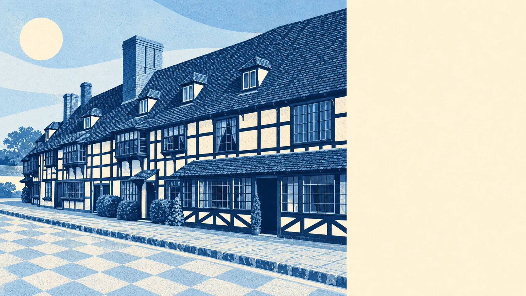
The villages and hamlets around it include Biddenden Green, Smarden, Frittenden, Headcorn, Sissinghurst and High Halden, with Tenterden as the nearest market town. Sissinghurst Castle's grounds are among the registered parks and gardens nearby. West of the village, vineyards and orchards produce wine, cider and juice, and the local cider maker trades under the village's name. The High Street's timber-framed buildings and the Cloth Hall date from Biddenden's clothmaking years, when the money came from broadcloth rather than wine.
Private gardens make up for the shortage of parks. There are about 504,000 square metres of private garden for every 1,000 residents, and outdoor space here usually comes with the house. The share of total land that is garden looks small, but only because farmland makes up most of the area.
The area around Biddenden is one of its strengths: water nearby, farmland in every direction and a garden with most houses. The public green space and cycle routes take a little more effort to reach.