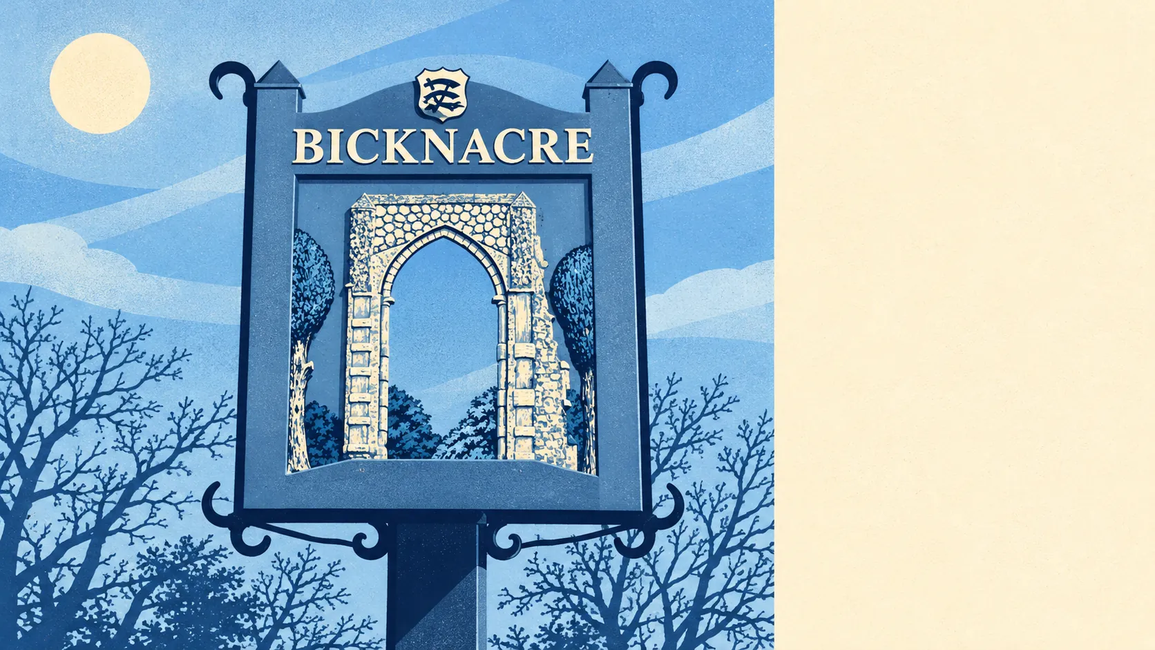
The countryside around Bicknacre is ordinary Essex farmland, and it's better to live next to than it looks on a map. Small ponds and ditches are all over the place. Public parks are a few minutes' walk away. Most gardens are large. None of the land around it is protected, and it doesn't need to be.
On average a home in the Bicknacre area has about three public green spaces within a kilometre, and the nearest is roughly 510 metres away. The closest are Priory Fields, round the old priory arch, and St Giles Churchyard on Moor Hall Lane, a nature reserve looked after by the Essex Wildlife Trust. For anything bigger, Danbury Park and Hylands Park are the registered parks and gardens in the wider district. Danbury's country park also has the old icehouse and the hill fort on its common.
Water is closer than green space. The average home is about 270 metres from a pond, stream or ditch, and there are about 16 such bodies of water within a kilometre. Most of them are field ponds and drainage channels. None of them could be called a lake. The flat clay holds onto every drop of rain it gets, and that explains why there are so many.
The National Cycle Network is about 4.4 kilometres away on average, and no postcode is close to it. There is no ancient woodland in the area. Getting out into the countryside here means the lanes, and drivers use those too.
Across the surrounding postcode districts the rated-premises register counts 1,035 shops, 143 pubs and 110 restaurants. That count covers a catchment reaching into Chelmsford, so it shows what's within a drive. Bicknacre's own high street is a single shopping parade.
Fine-particle air pollution across Chelmsford borough averaged about 7.3 micrograms per cubic metre in 2024.
The character comes from the farmland and the history left in it. The priory arch stands in a field the parish took over to stop it being built on. In the wider area there's the First World War aerodrome at Stow Maries, protected as a conservation area, and the scheduled hill fort at Danbury camp. Woodham Ferrers, Rettendon, East Hanningfield and the Hanningfields run into each other along the lanes, and they all look much like Bicknacre: more hedge than pavement.
Most people's green space here is their own. Across the area's three neighbourhood areas there are about 295,000 square metres of private garden per 1,000 residents. Homes on the post-war estates got proper back gardens, and the lawnmower is the busiest piece of equipment in the village.
The valuation list records 217 rateable premises in the area, and the largest groups are industrial and storage premises and offices, with shops and other commercial units further down. They're premises on a list, which isn't the same as businesses trading today. Much of the area's commercial life is in yards and units off the farm lanes.
Of the 39 food premises with a hygiene rating, about 90% hold the top score of five, and none are rated low.
The Bicknacre area has no Area of Outstanding Natural Beauty, no Site of Special Scientific Interest and no ancient woodland. The farmland around it isn't protected, so the fields are open to whatever comes next, and they're still pleasant to live next to.
The area around Bicknacre is better than its lack of protection suggests. There's water at every turn and a big private garden for most households, even if the public paths are thin on the ground.