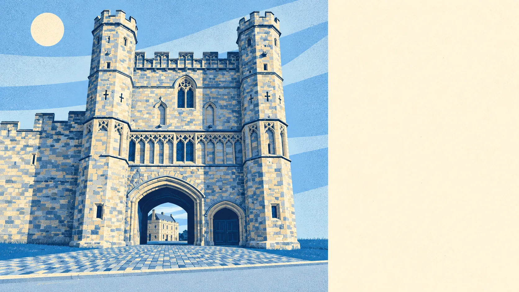
Green, hilly and relentlessly pleasant. There's a patch of green space round almost every corner. Water is never far away. The whole town sits inside a protected landscape. The countryside is what the house price is really paying for, and it earns the money.
The nearest public green space is about 140 metres from the average home, with around 14 green spaces inside a kilometre. That's closer than most people's nearest bus stop, and in Battle it's used far more often.
Water is close too. The nearest pond, stream or lake averages about 280 metres away, with around 13 bodies of water within a kilometre. Anyone who owns a spaniel will find it knows the route better than they do by the second week.
The National Cycle Network is the one gap. The nearest route averages about 8 kilometres away, and 0% of postcodes sit close to one. Recorded ancient woodland inside the area itself comes to 0%, so the woods people walk in here are old in character rather than officially ancient. Cyclists will be sharing the lanes with cars, and there are plenty of hills.
The rating list shows what the town is made of: 128 shops, 24 pubs, 9 restaurants and 143 offices, out of 281 rateable premises in total. These are premises on the valuation list, not a guarantee of what's trading this week. There are also 60 holiday lets, so a few of your neighbours will change every Saturday. That many pubs against that few restaurants tells you how Battle spends its evenings.
Of the 56 food premises with a hygiene rating, about 82% hold the top score and 0% sit at the bottom. Whatever you order in Battle, you're unlikely to get anything worse than a disappointing lunch.
Fine-particle air pollution across the Rother council area measured about 6.5 micrograms per cubic metre in 2024. That's a council-wide figure, not a reading from any one street.
All of the area, 100% of it, falls inside the High Weald National Landscape, the country's protected-landscape designation for its best countryside. No site of special scientific interest overlaps the area and no ancient woodland is recorded within it, so the protection covers the landscape as a whole rather than particular habitats. You get the views without having to share them with a protected-species survey.
The land around the town has been fought over and then quietly farmed ever since. Telham Hill is where William first saw the English army lined up. Caldbec Hill rises above the town, and Sedlescombe, Netherfield and Crowhurst sit in the countryside beyond. The scheduled monuments reach further back than 1066: a Bronze Age bowl barrow in nearby woodland and a Romano-British iron-working site in Beauport Park. In the past, the surrounding woods supplied oak to navy shipyards. Now they supply the Sunday walks.
Private gardens are generous. Across the area there are about 312,000 square metres of private garden for every 1,000 residents, which is a lot of lawn for one small town to mow. Most households get green space out the back as well as at the end of the road.
Battle's surroundings are its strongest point by a distance. The countryside, the water and the gardens are all close to every door, which is more than most towns can say.