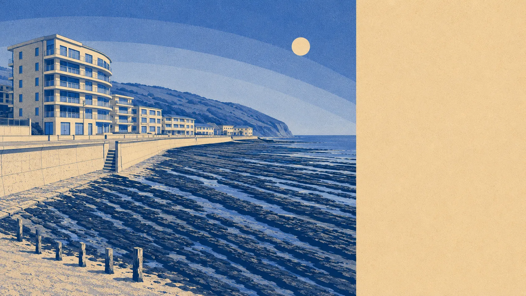
Superb, and the village barely has to lift a finger to claim it. Open ground begins about 150 metres from the typical front door. Water is not much further than that. Roughly sixteen separate patches of green sit within a kilometre. Whatever you make of the buildings here, the setting is doing the heavy work, and it does it in February as well as August.
The greenspace mapping puts the nearest open space about 150 metres from the average postcode, with around 16 within a kilometre of it. That is a density of accessible ground most towns would need a car and a plan to match, and it is why a dog here gets walked somewhere different every day of the week without anybody trying.
Water is the other half of it. The nearest blue space averages about 280 metres from a postcode, with roughly 20 within a kilometre, which in practice means the estuary, the bay and everything the tide does to them. Northam Burrows sits at the northern edge of the village, with Bideford Bay in front and Saunton Sands and Braunton Burrows across the water. The view is the amenity.
Cyclists get less. The National Cycle Network averages roughly 2,800 metres away, and no postcode here counts as close to it, so anyone planning to commute on two wheels is making their own arrangements on ordinary roads. Ancient woodland does not feature at all, which is what happens when the ground between you and the horizon is dune, grass and pebble rather than trees.
For everyday amenity, the rating list across the wider area carries 348 shops, 50 pubs and 26 restaurants. That is a market town's worth of provision within reach rather than a village parade, which matters when the alternative is a long drive with a boot full of shopping.
Air quality is the sort of statistic that only makes news when it is bad. Fine particulate pollution across the council area measured about 4.7 micrograms per cubic metre in 2024. That is a council-wide figure rather than a street-corner reading, and it sits at the quiet end of what gets published anywhere in England.
On designations, about 3% of the area falls inside the North Devon Area of Outstanding Natural Beauty, covering the seaward edge. No site of special scientific interest overlaps the village, and there is no ancient woodland. Those absences are worth stating plainly rather than glossing over: this is protected coast at the fringe rather than a place wrapped in conservation status, which is why the buildings here look the way they do.
Private outdoor space is generous in a way public figures usually hide. Across the neighbourhood areas measured, gardens amount to roughly 151,000 square metres per thousand residents. Whatever you take from the wider countryside, the plots themselves are not the compromise.
Within the village, the valuation list holds 430 rateable premises, alongside about 173 offices and around 800 holiday lets across the wider area. Those are premises on a list rather than businesses currently trading, so treat the number as capacity rather than a directory. The holiday-let count in particular explains why the place has two personalities depending on the month.
Eating out is better than the scale suggests. Of 42 rated food premises, about 86% hold the top hygiene score and around 2% sit at the bottom of the scale. In a place this size, that is a decent hit rate, and the ones at the bottom are not named here because the rating belongs to a moment rather than a reputation.
The surroundings are the strongest thing about this address, and it is not a close contest. Coast, dune, estuary and open grass all inside a short walk, with protected landscape at the seaward edge, and the only real gap is a cycle network that never quite arrived.