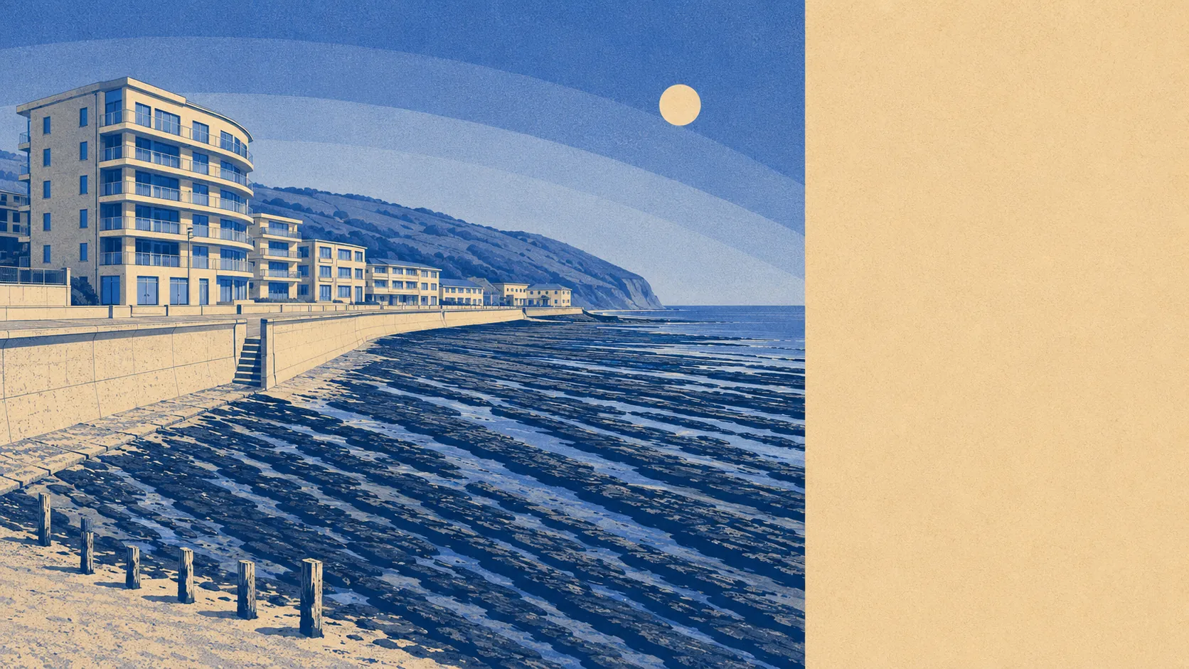
Yes, if you have already stopped commuting. This is a coastal village organised around bungalows, sea air and the school-holiday calendar, and it apologises for none of the three. About seven in ten own their homes. Four in ten households are one person living alone. The railway closed in 1917 and nothing has replaced it since. Read those in order and the place stops looking sleepy and starts looking deliberate.
The bungalow runs the show. On the council-tax valuation list, which covers every dwelling rather than only the ones with a recent energy certificate, roughly 30% are bungalows, about 26% flats, around 20% detached houses, 14% semis and 9% terraces. Only about 14% went up before 1930, and a similar share arrived between 2000 and 2008, so the Victorian-seaside mental image is mostly wrong. Energy ratings follow the build dates: about 65% of certificated homes sit in bands A to C, roughly 24% in band D, and around 11% at band E or worse. About 72% are on mains gas, and roughly 14% run on electricity alone, which is the figure worth checking before you fall for a sea view in February rather than after.
The Land Registry recorded 67 sales in the twelve months to May 2026, at a median of about £295,000. By type, that splits into detached homes at about £390,000 across 27 sales, terraced at about £271,000, semi-detached at about £270,000, and flats at about £150,000 across 17 sales. The official house price index for the area put the average at about £257,000 in May 2026, down 0.1% over the year and up about 7% across five years, so anyone here for a rapid gain has misread the room. Council tax sits low: band C is the most common, about 37% of dwellings fall in bands A or B, and a band D bill runs to roughly £2,600 a year.
Rent is only published across the Torridge area, not the village, and the typical private rent across Torridge was about £790 a month as of April 2026, up about 3% over the year. By size that runs from around £560 for a one-bedroom to about £740 for two, roughly £905 for three and about £1,270 for four or more. Nobody publishes a village-level figure, so the district number is the honest answer rather than the precise one, and anyone quoting you something sharper has made it up.
Safety is where the page stops flattering the place. The recorded crime rate over the twelve months to May 2026 was about 69 crimes per thousand people, against roughly 55 across Torridge, which puts the village around 24% above the district average. Devon and Cornwall Police charged or summonsed in about 8% of cases over the same period, against about 12% across England and Wales, and that force ranks last of the 42 forces on that measure. A force statistic is not a postcode statistic, which is a distinction that will comfort you enormously right up until something happens to your shed.
Getting anywhere means driving. About 60% drive to work, roughly 23% work from home, and 0.1% commute by train. There are 22 bus stops, averaging about 37 scheduled weekday departures each, and 11 of the 21 stops with service data run anything at all at the weekend. Modelled journey times date from 2019, so trust the car figures ahead of the bus ones: the town centre is 11 minutes by car or 20 by public transport, a doctor 8 minutes by car, and the nearest hospital 29 minutes by car against 74 by public transport. Broadband is the one thing here that belongs to this decade, with gigabit-capable service at about 89% of premises, superfast at all of them, and nothing below the universal service minimum. Mobile coverage reaches essentially every address from at least one operator and about 95% from all of them.
The water is close enough to count as architecture. The nearest postcode sits about 17 metres from the sea, roughly 63% are within half a kilometre, and the shoreline management policy is hold the line across the twenty, fifty and hundred-year horizons. On the postcode indicators, which include surface water, about 13% carry a high rating on at least one measure, roughly 11% medium and about 36% low. On the narrower river-and-sea flood zones, about 5% of postcodes sit in zone 3, none in zone 2, and around 11% fall inside the climate-change extent. No postcode falls within a recorded historic flood extent. Green space is the compensation and then some: roughly 150 metres to the nearest, about 16 within a kilometre, water about 280 metres away, and a slice of the village inside the North Devon Area of Outstanding Natural Beauty. Every postcode also sits in an elevated radon band, so a radon test belongs alongside the survey rather than after the move.
Heritage constraint is close to absent. Two listed buildings, both grade two, no conservation area and no scheduled monument within the place itself. The conservation areas are at Northam, Appledore and Bideford, which is to say they are somebody else's window replacements. If you want to render, extend or glaze a bungalow here, the obstacle is the normal planning system rather than a heritage officer with a clipboard and a view about mortar.
The character follows from all of that. About 70% own their homes, the median resident is 58, and typical household income is around £42,400 gross for the financial year to March 2023. Roughly 41% of households are a single person, about 22% a pensioner living alone, and about 10% a couple with children. The wider postcode district carries around 800 holiday lets on the rating list, which is the most candid number available about what the village is for. Deprivation sits mid-table nationally and has moved in the right direction since 2019. Out of season the place belongs to the people who live here, and the people who live here are older, quieter and mostly done with offices.
It suits downsizers, retirees and remote workers who want salt air, a manageable plot and a broadband line that works. It suits anyone whose ideal Tuesday involves a beach walk before the dog crowd thins out. Flats at the bottom of the market are genuinely reachable, and the ownership rate means neighbours who stay put.
It does not suit anyone who needs a station, a hospital within ten minutes, or a town that stays fully awake in January. It does not suit a household running two careers in different directions, because every one of those journeys starts with a car key. And anyone who wants a place with no visitor season should look inland, where nobody has to share the car park.
So, above average overall, and specific about who for. The real strength is the ground it sits on: coast, dunes, water and open space within a few minutes on foot, in a designated area of outstanding natural beauty, with the housing stock arranged around exactly that. The weak spot is safety, where the recorded rate sits above the district and the force behind it is not clearing cases quickly. Take the bungalow and the car keys, or take somewhere with a railway station and stop pretending the sea was the deciding factor.