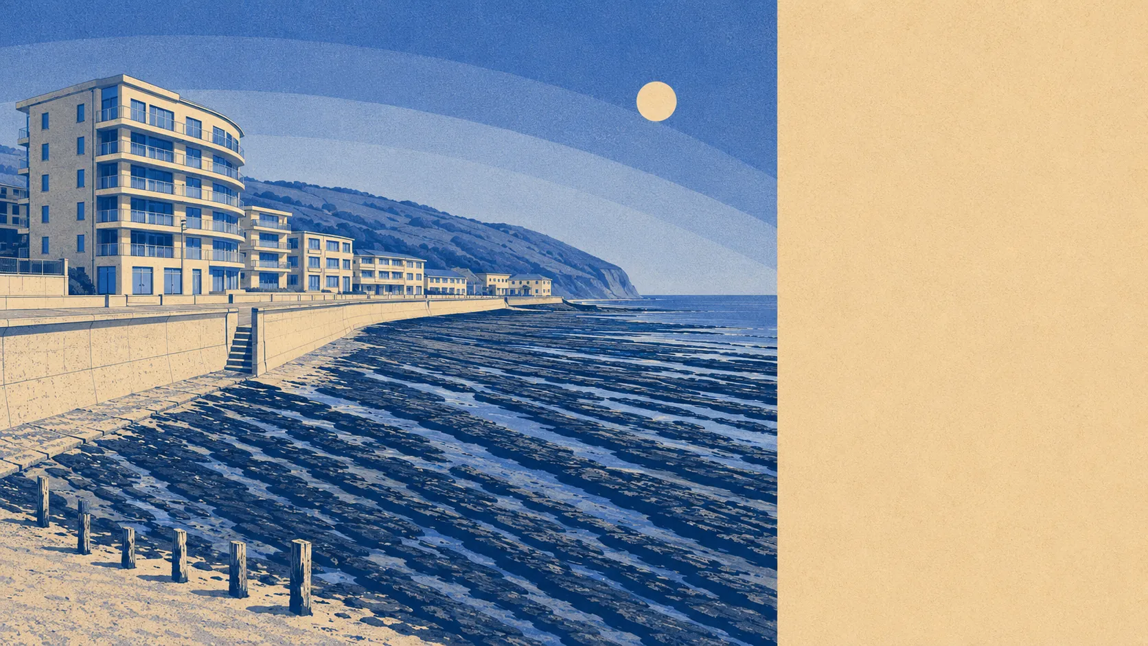
Partly, and the risk is concentrated rather than general. About one postcode in twenty sits in the highest flood zone. No recorded flood sits on the books anywhere in the village. The sea is under half a kilometre from most doors and seventeen metres from the nearest. A wet fringe rather than a wet village, and which side of that line your house falls on is the whole question.
The Environment Agency's river-and-sea mapping places about 5% of the village's postcodes in flood zone 3, the highest-probability band, and none in zone 2. Zone 2 is the additional medium-probability fringe lying beyond zone 3 rather than a ring around it, so nothing there is a statement about where the modelled water stops, not a hole in the data.
Surface water is a different hazard measured a different way. It carries no separate share here; it sits folded into the postcode-level indicators below, alongside rivers and sea. The two behave nothing alike, which is why the numbers are never added together.
Run the same mapping with a climate allowance and the extent widens: about 11% of postcodes fall inside it, against about 5% under the current zone. That is a modelled forward look rather than an observation, and it is the version worth reading if the plan is to still be there in thirty years.
For most of the village none of this reaches the insurance conversation. For the postcodes inside the modelled extent it changes it entirely. Expect the insurer to ask about the property's flood history, expect the flood section of the policy to carry its own excess, and get an indicative quote before instructing a solicitor rather than discovering the answer a week before exchange.
Taking every indicator together, including surface water, about 13% of postcodes carry a high rating on at least one measure, about 11% a medium and about 36% a low. Those bands overlap the flood-zone figures rather than standing beside them. Adding the two sets together would produce a number that describes nothing.
Counted as homes rather than postcodes, the Environment Agency's rivers-and-sea mapping lists 271 properties across the 10 postcodes that carry any risk at all: 48 at high risk, 33 at medium and 17 at low, with 20 of the high-risk properties residential. Postcodes with no risk never enter that list, so this is the exposed end of the village in detail rather than a portrait of the whole place.
On defences, about 5% of postcodes sit inside a modelled high-risk extent with no defence present in the model, and about 4% inside one where a defence is. Present in the model means a structure exists in the calculation. It says nothing about its condition, its maintenance budget, or what happens the night it is overtopped.
Closeness to the water is the structural fact underneath all of it. About 63% of postcodes lie within half a kilometre of the shoreline, the median sits about 400 metres from it, and the nearest about 17 metres. That half-kilometre is a threshold the mapping uses, not a verdict on any individual address.
Across all three planning horizons, twenty years, fifty and a hundred, the shoreline management policy for this frontage is to hold the line. A policy is a stated intention to keep maintaining defences. It is not a defence, not a budget, and not a promise, and coastal policies get reviewed by people who were not in the room when the last one was written.
The nearest long-running tide gauge, at Devonport, records a rise of about 2.35 millimetres a year across its 1962 to 2015 record. That is measured history rather than a forecast, and it is the sort of figure that matters over the length of a mortgage rather than the length of a viewing.
No postcode here falls within a recorded historic flood extent. That is real reassurance and worth weighing properly, with one qualification: a record contains what was recorded. It is evidence of no logged event rather than proof that water has never reached a doorstep.
Middling overall, and unusually easy to be precise about: the risk is a mapped coastal fringe rather than a condition of the whole village, sitting on a history with no logged flood in it. Check the address rather than the place, because on this one they give different answers.