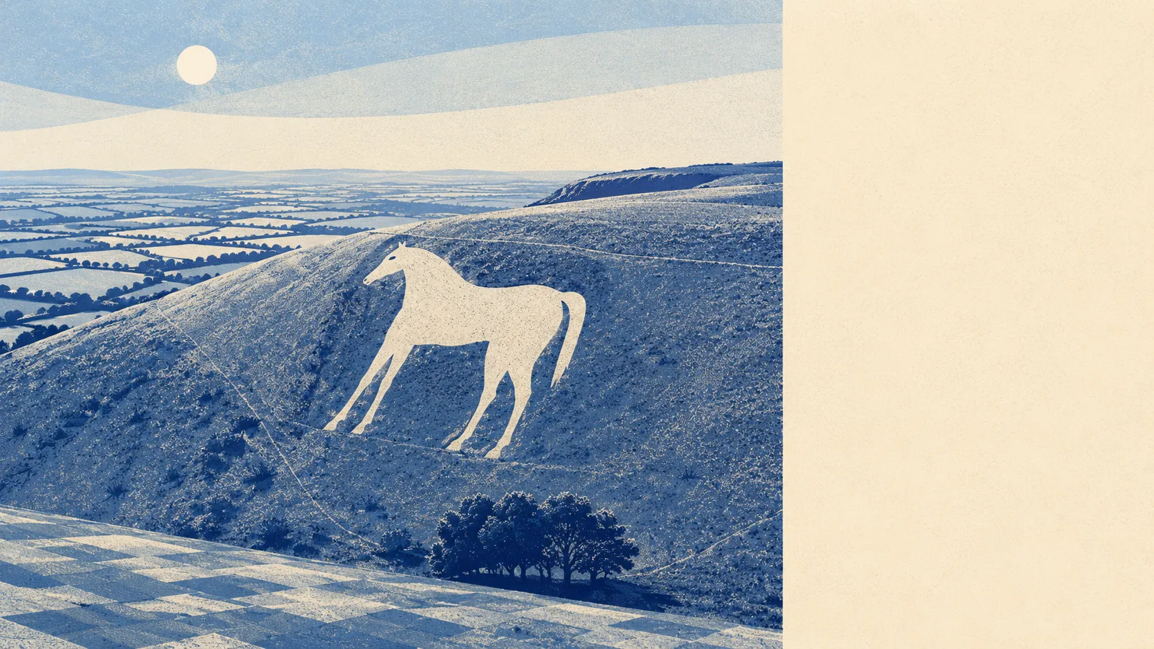
Green, and considerably better than the town it wraps around. Salisbury Plain begins where the houses stop. Water sits within a couple of hundred paces of most front doors. Bronze Age barrows line the downs and an Iron Age hillfort looks down on the lot. Nobody buys here for the shopping parade, and nobody needs to.
Green space is genuinely abundant rather than technically present. The typical postcode has around 26 accessible green sites within a kilometre, and the nearest one averages roughly 166 metres away. That is a two-minute walk in practice, and it is the number that explains why people who move here from cities stop talking about their commute and start talking about the dog.
Water is closer still. Blue space averages about 250 metres from the typical postcode, with roughly 39 water features within a kilometre. The Biss Brook, which becomes the River Biss as it runs north towards Trowbridge, traces most of the western edge of the parish, and the chain of lakes and ponds near The Ham marks where the iron workings were abandoned a century ago. Industrial failure has rarely landscaped so well.
Cycling is where the picture thins. The National Cycle Network averages about 6.4 kilometres away, and no postcodes in the town sit close to it. Anyone planning to ride out of Westbury on a traffic-free route is going to drive to the start of it first.
The high street is a working one rather than a destination. The valuation list carries 99 shop premises, 13 pubs and 3 restaurant premises across the area. That ratio tells you what evenings look like here: the pub outnumbers the restaurant by a margin most towns lost around the time they discovered small plates.
Air quality is unremarkable in the way you want it to be. Fine particle pollution across the Wiltshire council area measured 6 micrograms per cubic metre in 2024. That is a council-area figure covering a large rural county rather than a reading from any street in the town.
The character of the surrounding land comes from the Plain and what people left on it. Bratton Camp, the Iron Age hillfort above the town, sits alongside the Westbury White Horse in Bratton parish, with bowl barrows scattered across Oxendean Down, Summer Down and Four Hundred Down. Below them the villages ring the town at a comfortable distance: Bratton, Dilton Marsh, Chapmanslade, Heywood, Hawkeridge, Upton Scudamore and Brokerswood. Westbury Leigh, Leigh Park, Chalford, Frogmore and Bitham Park are the town's own quarters rather than separate places, though Westbury Leigh has its own church and still behaves like a village that got absorbed under protest.
Private outdoor space is the finding nobody publishes. Across the town's neighbourhoods, gardens amount to roughly 127,000 square metres per 1,000 residents. That is a lot of lawn per household, and it is the practical difference between a Westbury house and a flat costing the same in a city that talks more about its parks.
The wider business base is broader than the shopfronts suggest, with 609 rateable premises on the valuation list, including 151 office premises alongside the retail and industrial units. Those are premises on a list rather than businesses currently trading, so treat the count as capacity rather than a directory.
Eating out is safer than the restaurant count implies. Across 62 rated food premises, about 81% hold the top hygiene score and about 3% sit at the bottom of the scale. Those are the ratings as published, not a recommendation about where to go.
One honest absence: no national landscape designation, no site of special scientific interest and no ancient woodland overlaps the area. The countryside here is working farmland and chalk downland rather than protected landscape, which means fewer designations on the map and fewer restrictions attached to them.
The land around Westbury is the strongest thing about living in it. Green space at the end of the street, water a few minutes further, downland with four thousand years of earthworks on it directly above, and nothing designated in a way that stops you walking through any of it.