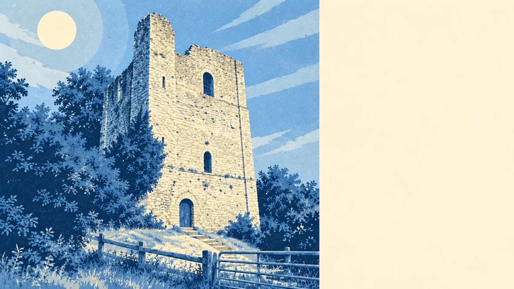
The countryside around West Malling is the main reason to live here. A park is a short walk from almost any front door. The Kent Downs rise along one edge. There are Stone Age tombs in the fields. The High Street gets the attention, but the countryside around it is what people are paying for.
Public green space is close at hand. The typical home is about 200 metres from the nearest green space, and on average there are about 14 green spaces within a kilometre. Manor Park Country Park, just south of the town and once the grounds of Douce's Manor, is the obvious one. For most households, a walk in the park doesn't need planning.
There's water within reach too. The typical home is about 470 metres from the nearest river, stream, lake or pond, with about 17 bodies of water within a kilometre on average. Further out, the Medway runs under the old crossings at Teston Bridge and East Farleigh Bridge, both scheduled monuments.
Cyclists fare less well. The nearest National Cycle Network route is about 7 kilometres away on average, and no postcodes in the area sit close to one. The lanes are fine for getting out into the countryside, but there's no signed long-distance route nearby. The records show no ancient woodland here either.
The Kent Downs Area of Outstanding Natural Beauty covers about 9% of the area, along the northern edge towards Trottiscliffe and Addington. That's the only protected-landscape designation recorded here. There are no sites of special scientific interest and no ancient woodland. Near the Downs, the landscape is protected. Elsewhere, it's mostly working farmland with woods and hedges.
The surroundings have a lot of history. Coldrum Megalithic Tomb, Addington Long Barrow, and Kit's Coty House a little further off, are Neolithic burial sites older than anything in the town. Old Soar Manor near Plaxtol is a fortified medieval house, and the parkland at Mereworth Castle is a registered historic park. Few towns this size have that much within a short drive.
Private gardens are generous. Across the area, homes have about 144,000 square metres of private garden for every 1,000 residents. That fits a housing stock made up mostly of houses rather than flats, and most households here have a garden of their own as well as the countryside around them.
As for what's actually here, the valuation list records 878 rateable business premises in the area. Of those, 97 are shops, 18 are pubs, 13 are restaurants and 529 are offices. Those are premises on the rating list, not a guide to how many shops are trading on any given day. The office count comes largely from the Kings Hill business park, and the shops, pubs and restaurants are mostly in the old town and village centres.
For eating out, 114 food premises have a hygiene rating. About 79% hold the top score of five, and about 2% sit at the bottom of the scale. There are fewer places to eat than to work, but most of them are clean.
Across the Tonbridge and Malling council area, fine-particle air pollution averaged about 7.3 micrograms per cubic metre in 2024. That's a borough-wide figure, not a reading for any particular street.
The surrounding area is one of West Malling's real strengths. There's green space near every home, downland on the horizon and prehistoric sites a short drive away, so almost every household is within easy reach of open countryside.