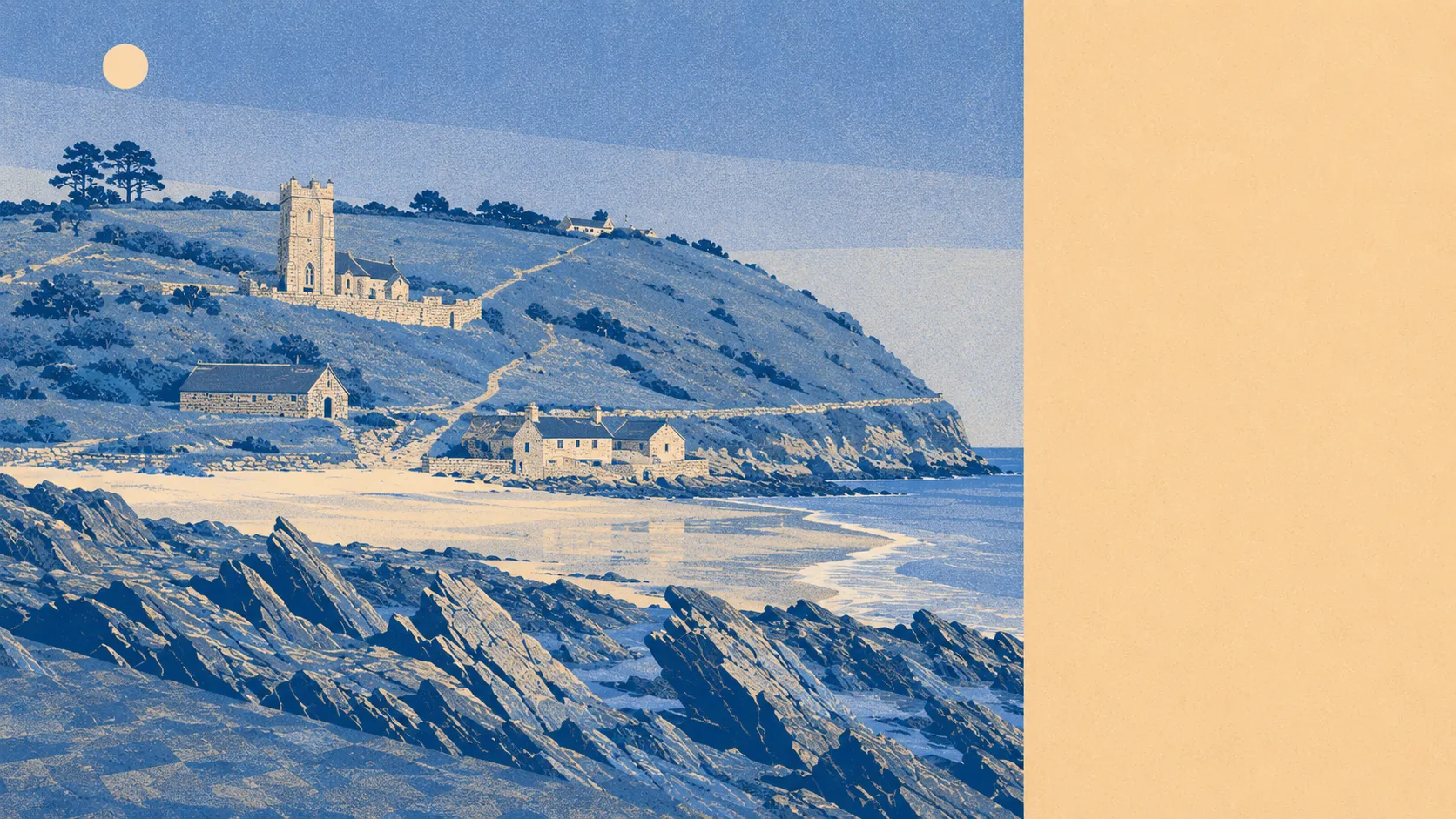
Green, coastal, and mostly somebody else's field. Open space starts about 300 metres from the average front door. Water is barely further than that. The entire village sits inside a protected landscape. This is not scenery you drive out to see, it is the material the village is embedded in.
Green space is close and plural. The average postcode here sits about 300 metres from open space, with five or six separate sites inside a kilometre. That is not one municipal park doing all the work for the whole village, it is a scatter of them, which is the difference between having somewhere to walk and having somewhere different to walk on a Thursday.
Water is closer than most coastal villages manage. Blue space averages about 480 metres away, with roughly eight bodies of water within a kilometre of the typical postcode. Between the coast and the creeks running inland, the peninsula is more edge than middle.
The National Cycle Network is the gap. The nearest route averages about 3.4 kilometres away, and 0% of postcodes count as close to it. So cycling here is lanes and hills rather than a signed traffic-free route, which suits people who already own the right bike and nobody else. There is no ancient woodland in the area at all.
The trading picture divides between the village and the wider postal district. Across the district, the rating list carries 111 shop premises, 17 pubs, 60 offices and three restaurants, along with 35 holiday lets. Inside Wembury itself the valuation list runs to just 28 rateable premises in total, and no single category among them exceeds five. These are premises on a valuation list rather than businesses currently open, so treat them as capacity, not as a high street.
Air quality is what you would hope for from a peninsula with no through-route. Fine particulate matter across the South Hams council area measured about 5 micrograms per cubic metre in 2024. That is a council-area figure covering everything from Totnes outward, not a reading taken at the village hall.
Every postcode in Wembury falls inside the South Devon Area of Outstanding Natural Beauty. Not part of it, not adjacent to it: all of it, 100%. That designation is the single most consequential fact about the surroundings, because it is the reason the fields between here and Plymouth are still fields.
The character follows from the geography. Wembury is a peninsula as well as a village, with Heybrook Bay and Wembury Point at the seaward end, Knighton holding the older fabric inland, and the Yealm estuary villages of Newton Ferrers and Noss Mayo sitting across the water. The church of Saint Werburgh gives the place a Saxon dedication and a decent pub-quiz argument about whether the name descends from her or from Woden. Nobody has settled it and nobody is trying very hard.
Private outdoor space is where the numbers turn genuinely unusual. Gardens here run to roughly 294,000 square metres per 1,000 residents. Whatever mental image that produces, the practical version is that people have proper gardens, plural, and a bungalow-heavy stock means most of them are at ground level with a shed already in position.
Eating out is a short list rated well. Seven premises in the area carry a food hygiene rating, and 100% of them hold the top score, with none in the bottom bands. Seven is a small enough number that one bad inspection would ruin the average, so enjoy the run while it lasts.
Two honest absences complete the picture. There is no site of special scientific interest overlapping the area, and no ancient woodland. The protection here is landscape-scale rather than habitat-specific, which is a different kind of designation and does not mean the place is any less green.
The surroundings are the best thing Wembury has, without a close second. A protected coastline, water at both ends, gardens most towns cannot conceive of, and a village small enough that the countryside starts before you have finished putting your shoes on.