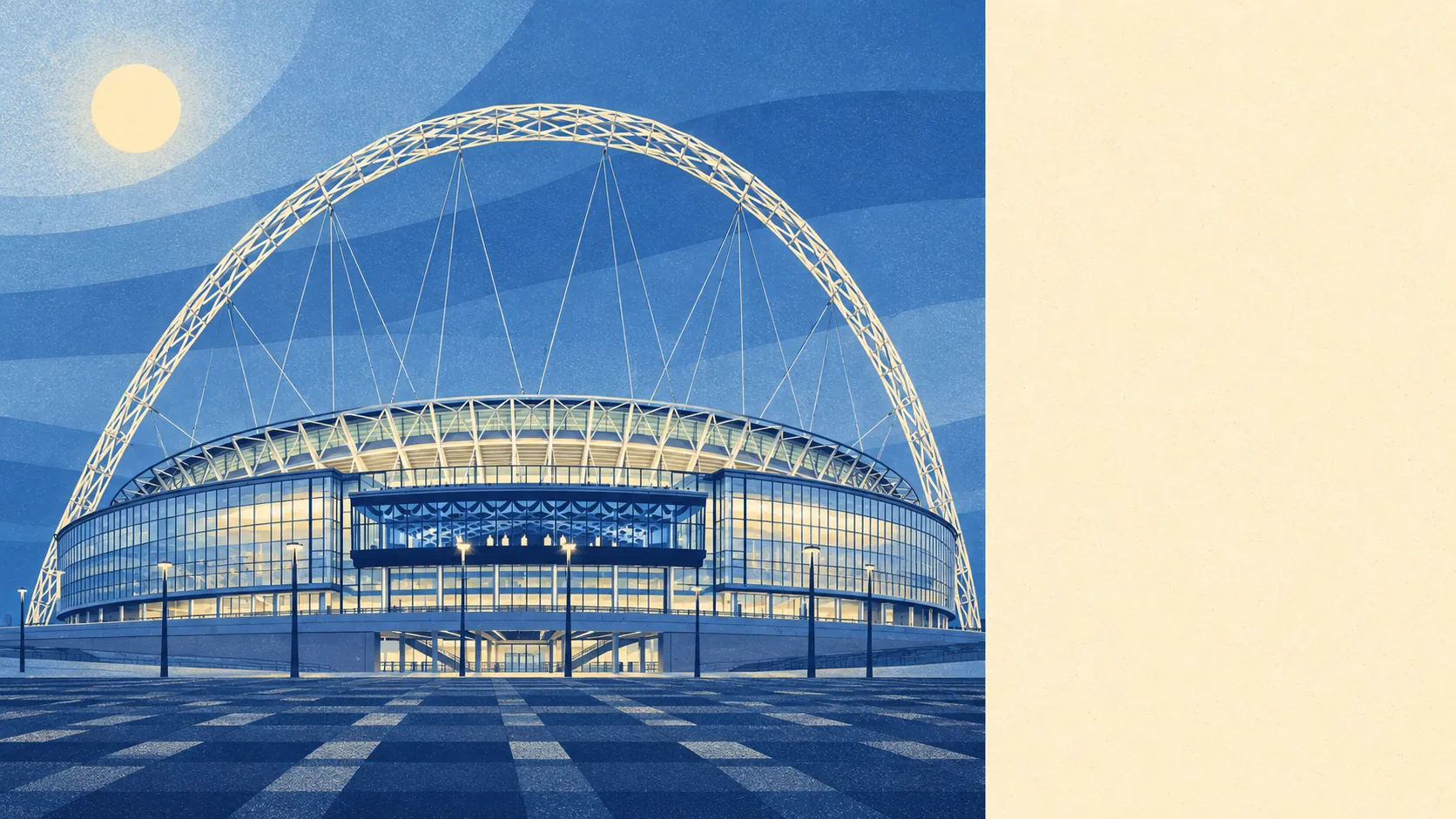
The area around Wembley is far greener than its stadium-and-flyover reputation lets on. Most front doors are a couple of minutes' walk from a park. Water is a short stroll off. The canal towpath runs all the way into central London. The arch gets the photographs, and the parks get the residents.
Green space is everywhere you look. The average home in Wembley is about 150 metres from the nearest green space, with 22 of them within a kilometre. The named ones cover a decent spread, from King Edward VII Park and Barham Park near the centre to Brent River Park and Tokyngton Recreation Ground, where the river has been given a more natural course back. Further out, Barn Hill runs on into Fryent Country Park, and Horsenden Hill carries the remains of an Iron Age settlement. For a district this built up, that is a lot of grass per postcode.
Water comes in at about 630 metres from the average home, with 18 bodies of water within a kilometre. The Paddington Arm of the Grand Union Canal cuts through the south of Wembley, and the Welsh Harp reservoir sits a short distance away. The reservoir was built to keep a canal topped up and now mostly serves people who like looking at water.
Cycling infrastructure is thinner. The nearest stretch of the National Cycle Network is about 8.8 kilometres from the average home, and no part of the area counts as close to it. The canal towpath does more for local cyclists than any signposted national route.
The high street leans heavily towards shops. The rated-premises count puts 367 shops in the area against 24 restaurants and three pubs. Three pubs for a district built around crowds is a strange ratio, and most of the drinking evidently happens somewhere other than a local.
The air is middling for London. Brent's fine-particle level stood at about 8.9 micrograms per cubic metre in 2024, measured across the whole borough.
Character changes fast from one patch to the next. Ealing Road and the High Road carry most of the older shopping, while the London Designer Outlet and its pedestrianised street sit up by the stadium. North Wembley is mostly the interwar Sudbury Court Estate, and Sudbury Golf Course backs onto the canal. The Ace Cafe opened as a transport café in 1938, shut for decades, reopened in 1997 and now hosts car and bike events, which makes it the most loyal relationship anyone here has had with traffic.
Private gardens are more generous than the flats suggest. Wembley has about 42,800 square metres of garden per 1,000 residents, mostly attached to the interwar semis and terraces. Flat owners rely on the parks, and everyone else has a lawn to mow.
The valuation list shows what the area is built for. Of 1,276 rateable premises, the largest groups are 366 shops, 160 offices and 150 warehouses, with two classes of industrial unit at 93 and 78 premises. These are entries on the rating list, so some may sit empty or be used for something else, but the mix is clear enough. Wembley still makes and stores things, behind the high street and the stadium.
Eating out is reasonably safe. Of 321 food premises rated for hygiene, about 65% hold the top score of five, while about 11% sit at the bottom end. Most meals come from kitchens that pass comfortably.
No protected landscape overlaps the area. There is no area of outstanding natural beauty, no site of special scientific interest and no ancient woodland. Wembley's green space is the urban kind, parks and playing fields and canal banks, and it is used hard because it is all there is.
The surroundings are one of Wembley's real strengths, with parks a couple of minutes from most doors and a canal that leads somewhere useful. Anyone expecting concrete in every direction will be pleasantly corrected inside a week.