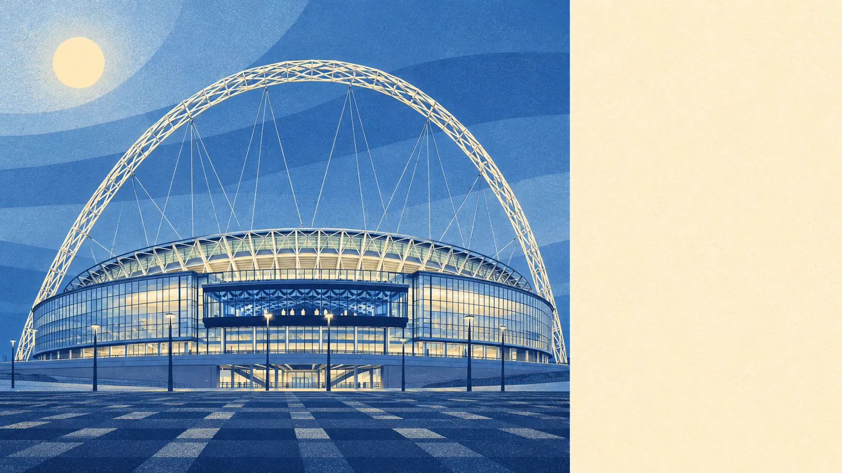
Wembley was wired to move crowds, and the people who live here get to use that wiring every day there isn't a match on. Twenty buses an hour pass the average stop at the peak. A third of households run no car at all. The weak spot is water. Three in ten postcodes carry a high flood flag, and almost none of that comes from the river.
The transport case is strong. The national bus timetable data counts 235 stops, with an average of 373 scheduled departures each weekday and a weekend service at every single stop. Rail comes through Wembley Central, Wembley Stadium, North Wembley, Stonebridge Park and Sudbury & Harrow Road, though at the 2021 Census only 7% of working residents took the train to work, against 15% on the bus and 25% driving. A further 21% worked from home, and broadband makes that easy. Gigabit connections reach about 90% of premises and superfast about 99%, and every postcode gets 4G or 5G from all operators. The Department for Transport's 2019 modelling put the town centre about 19 minutes away by public transport. Wembley Stadium station once traded as Wembley Complex, which is still the fairest description of the roads around it.
Flood is the other side of the ledger, and it needs reading carefully. On the Environment Agency's postcode indicators, which count surface water as well as rivers and sea, about 30% of postcodes are high risk on at least one measure, 25% medium and 47% low. In the river-and-sea flood zones themselves the picture shrinks to about 1% of postcodes in zone 3 and 2% in zone 2. The agency's records hold two past flood events here, the latest in December 1977, when a main river overtopped its channel. The risk in Wembley is mostly rain that falls faster than the ground and drains can take it. A listing that promises "not in a flood zone" is telling the truth about the river and nothing at all about the drains.
The population is young and split down the middle on tenure. About 47% of households own their home and the median age is 36. The Office for National Statistics models gross household income at around £65,900 for the financial year to March 2023, averaged across the area. Character changes by patch. North Wembley is mostly the 1930s Sudbury Court Estate, Sudbury runs west towards the Harrow border, and Alperton mixes high-rise blocks with streets of houses and gardens along the canal.
Safety is better than the borough's reputation. The Metropolitan Police's published figures give a rate of about 101 crimes per 1,000 residents in the year from June 2025 to May 2026, roughly 22% below the Brent average. The borough gets its higher number from somewhere else.
Schools are solid. The six primaries counted in the district average 107 on the Key Stage 2 maths measure, and they include Barham, East Lane, Lyon Park, Sudbury Primary and Vicar's Green. The two secondaries, Alperton Community School and Wembley High Technology College, average an Attainment 8 score of about 56. Across Brent, Ofsted has graded 39 of 42 settings good or better, ten of them outstanding, though that count is borough-wide and says little about any one gate.
Heritage rules rarely get in the way of a homeowner. The area holds 39 listed buildings, one at grade I and four at grade II*, plus a single conservation area, Canalside. Most of the listings are churches, civic buildings and the old Empire Pool, now the arena. The old Brent Town Hall on Barn Hill was listed, sold and turned into a French school, and a loft conversion on an interwar semi will face fewer questions than that did.
Prices are steep but varied. The Land Registry recorded 185 sales in the year to May 2026 at a median of £480,000. Flats went for about £375,000 across 92 sales, terraced houses about £575,000 and semis about £655,000, while ten detached sales came in at a median of about £626,000. Semis beating detached houses on price says a lot about how few detached houses Wembley has and how badly people want a garden. Band D is the most common council-tax band, and only 8% of homes fall in bands A or B. Brent's typical private rent runs at about £1,990 a month as of April 2026, a borough-wide average that will flatter some streets and undersell others.
The housing stock leans towards flats. On the council-tax valuation list about 46% of homes are flats, 24% terraced, 24% semi-detached, 4% detached and 2% bungalows, and about 31% were built before 1930. Mains gas heats about 69% of homes, while 15% rely on electric heating alone, mostly in the flats. Of the homes with energy certificates, 54% rate C or better and 9% rate E or worse.
Green space is close almost everywhere. The average front door is about 150 metres from the nearest green space, with 22 of them within a kilometre. Barham Park, King Edward VII Park, Barn Hill and Fryent Country Park all fall within reach. Water is about 630 metres away on average, most usefully the Paddington Arm of the Grand Union Canal, whose towpath runs all the way into central London.
The town has produced more than its stadium suggests. Charlie Watts of the Rolling Stones was born here, as was Riz Ahmed, star of Four Lions. John Barnard, the Formula One engineer credited with the first semi-automatic gearbox, was also born in Wembley, and the North Circular has been testing everyone's clutch ever since. The only English Heritage blue plaque, on Forty Lane, goes to the comedian Arthur Lucan.
Wembley works best for car-free commuters, renters who want buses at the door, and families after a semi near decent schools. Buyers who want a big detached house, or a basement flat on a low street where the rain collects after a downpour, should look harder or elsewhere.
On balance Wembley is a better-than-average place to live, because twenty buses an hour and gigabit broadband make up for a lot. Just check the house sits above where the water goes.