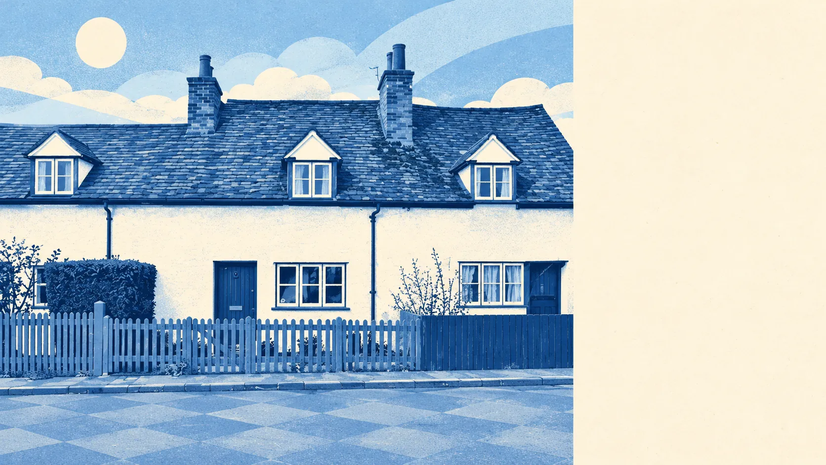
Welham Green lets a buyer redesign a house without a heritage officer looking over the plans, because the whole village has nine listed buildings and no conservation area at all. The post-war semis were built plain, and most of them are waiting for whoever buys them next to finish the job. Crime runs well below the rest of the borough. The village has its own station. The weak spot is rainwater, which gathers on more streets than the absence of a river would suggest.
All nine of those listed buildings are Grade II, and there are no scheduled monuments either. With no conservation area, the extra consent that comes with one applies to none of Welham Green's streets, so a rear extension or a loft conversion goes through ordinary planning and nothing more. The big planning arguments here are about the fields at the edge of the village, where the North Mymms Green Belt Society has resisted housing that would join Welham Green to Hatfield. Nobody is fighting over your kitchen.
Hertfordshire Constabulary recorded about 62 crimes per 1,000 residents across Welham Green in the year to May 2026, roughly 38% below the Welwyn Hatfield average of about 100. In a village this size a handful of incidents can move the rate, so the gap with the borough tells you more than the number on its own.
The Land Registry logged 20 sales in the year to mid-May 2026, at a typical price of about £485,000. The ten semi-detached houses went for a median of about £510,000, the six terraces about £353,000 and the three detached houses about £665,000, and three sales is too few for anyone to read much into the detached figure. Band D is the most common council tax band, and only about 10% of homes are in bands A or B. A cheap-band starter home is hard to find.
Welwyn Hatfield's typical private rent was about £1,470 a month in April 2026, a figure for the whole borough and a fair guide to what a tenant should budget for here.
Every dwelling on the council-tax list counts, and on that list about 25% of Welham Green's homes are terraced, 21% semi-detached, 21% detached, 13% flats and 13% bungalows. Only about 16% were built before 1930, and most of the homes with energy certificates went up between 1950 and 1982. Of those certificated homes, about 57% are rated A to C and about 7% E or worse, and about 72% of homes run on mains gas. With bungalows making up that big a share, a buyer who wants to convert a loft has plenty of roofs to choose from.
About two-thirds of households own their homes, and the median resident is 47. The Office for National Statistics modelled average gross household income at about £79,500 for the financial year to March 2023, averaged across a wider area than the village. These are people who have stopped moving and started extending.
Flooding is where Welham Green is weakest, though it isn't the kind of flood most people picture. In the Environment Agency's river-and-sea flood zones, about 1% of postcodes fall in zone 2, none fall in zone 3, and no postcode has a recorded history of flooding. The broader postcode indicators, which include surface water, tell a different story: about 22% of postcodes are at high risk on at least one indicator and about 25% at medium. Buyers hear that there's no river. What they meet is the rainwater.
The station opened in 1986 on the East Coast Main Line, between Brookmans Park and Hatfield, and Welham Green Rail Station is the reason the village grew. At the 2021 census only about 4% of working residents commuted by train, half drove and about a third worked from home. The 21 bus stops each see about 22 departures on an average weekday, with fewer than one bus an hour at peak. About 73% of premises can get gigabit broadband and about 93% superfast. The station gets far more mentions in the sale particulars than it gets passengers.
The village has its own Church of England primary school. The three primary schools in the surrounding postcode districts average about 105 in the key stage 2 maths scores, and the one secondary school there averages about 48 on Attainment 8. Across the whole of Hertfordshire, Ofsted grades 203 of its 227 graded settings good or outstanding, which describes the county more than this village. The Department for Transport's 2019 model puts the nearest primary about 13 minutes' walk away and the nearest secondary about 38 minutes. That second walk is long enough that most families end up driving to school.
The nearest green space is about 220 metres from the average home, with about nine within a kilometre, and water is about 380 metres away. Gobions, a registered historic park, is part of the wider North Mymms landscape that this page also covers. The green belt was fought for in the name of village character. In practice the residents use it for dog walks.
Welham Green is right for a family who wants a plain house and the freedom to rebuild it room by room, and who will drive for the bigger shop and the secondary school run. A buyer who needs the train every day, or who can't face looking up surface-water risk before making an offer, should look harder at the alternatives.
That freedom to alter is what Welham Green does best: the rear extension, the dormer, the knocked-through kitchen, all through ordinary planning with no heritage layer on top. Its worst problem is the rain that pools on a quarter of its postcodes after a heavy storm, with no river to blame. Welham Green is a better-than-average village for anyone with a builder already lined up, provided the house they choose stays dry when the drains can't keep up.