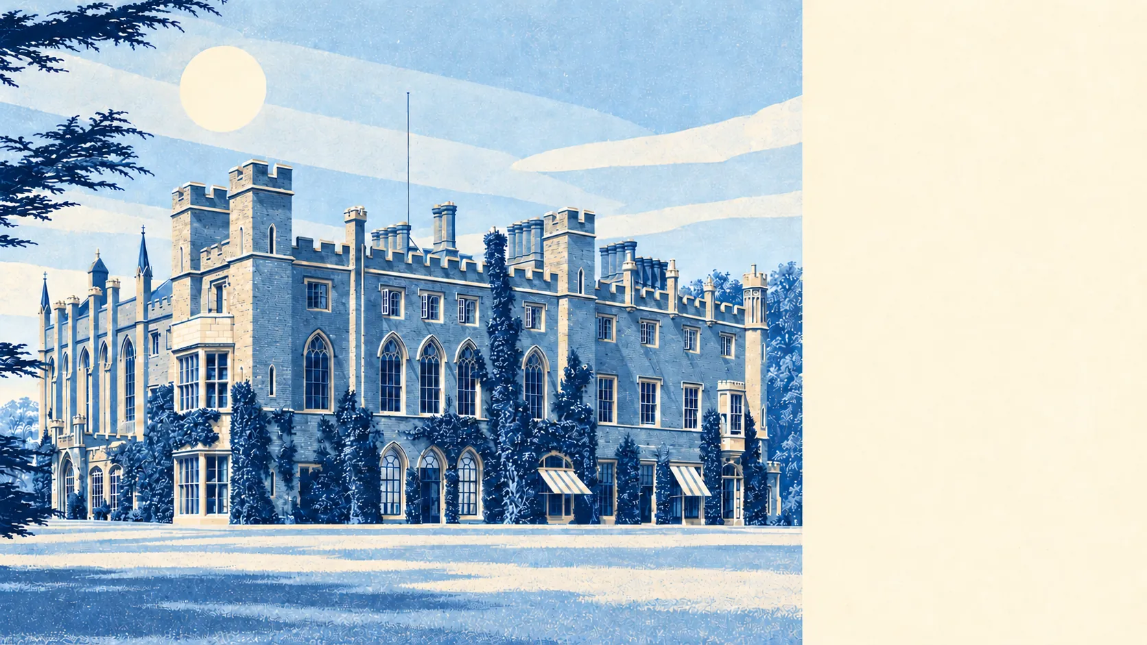
The area around Watford is greener than its reputation and wetter than its postcode suggests. A park or green space is a couple of minutes' walk from most doors. Rivers and a canal run through the middle. The high street is busy, and so is the warehouse district behind it. Few towns this built-up keep this much grass this close.
Green space is everywhere. The nearest is on average about 160 metres from the front door, and the typical home has about 28 green spaces within a kilometre. Cassiobury Park is the big one, with Whippendell Bottom and the woods on the western edge beyond it, and the playing fields along the River Gade between. Most of those 28 are small, though nobody has to cross a main road to find grass.
Water is closer than people expect in a Hertfordshire town. The nearest river, canal or lake is on average about 575 metres away, and the typical home has about 23 bodies of water within a kilometre. The Colne and the Gade both run through the town, and the Grand Union Canal follows the Gade north. The canal was dug to bring coal in and now carries narrowboats and dog walkers.
The National Cycle Network is on average about 1.2 kilometres away, and about 27% of postcodes sit close to it, with the off-road Ebury Way and Abbey Way taking it along the eastern and southern edges of town. Those paths follow the old railway lines, so the gradient was settled long before the first cyclist arrived.
The rated-premises data counts about 1,050 shops in the area, 68 pubs and 110 restaurants. The pubs are outnumbered heavily by the shops, and the High Street does its drinking in bars and clubs at night.
Fine-particle air pollution across the Watford council area averaged about 7.8 micrograms per cubic metre in 2024.
The feel is a working town with an estate on its doorstep. The Harlequin Shopping Centre took over the middle of town in 1992, and the old estates of Cassiobury and The Grove sit on the western side, the second now a hotel. The Grove hosted a world golf championship in 2006 and the Bilderberg Conference in 2013, so some of the most powerful people on the planet have spent a weekend in Watford's countryside and left without seeing the Harlequin.
Private gardens add plenty. The Office for National Statistics' garden figures put about 72,000 square metres of private garden per 1,000 residents across the area's 82 neighbourhoods. That is a lot of lawn for a town where about a third of homes are flats, and the semis and terraces in Garston, North Watford and Leavesden carry most of it. A flat-hunter should check whether the outdoor space in the particulars is private or shared, because the town's gardens are concentrated behind its houses.
The council's valuation list holds 3,451 rateable premises, with shops and offices the two biggest groups and warehouses next. Those are premises on a list, and some will be empty at any given moment. Behind the high street, Watford earns its living in offices and sheds.
Eating out is in good order. Of 750 food premises rated for hygiene, about 78% hold the top score and about 1% sit at the bottom of the scale.
No protected landscape overlaps the area: no area of outstanding natural beauty, no site of special scientific interest and no ancient woodland on the record. The green here is park, playing field and back garden, the kind people use every day.
For what lies outside the front door, Watford is one of the best-provided towns around London: a park within a short walk of nearly everyone, water through the middle, and enough garden behind the houses to make up for the traffic out front.