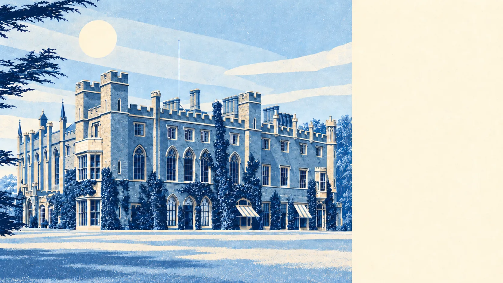
Watford makes leaving easy and changing your own house hard, and buyers tend to learn the second part later than the first. Gigabit broadband reaches almost every door. A bus stop is rarely more than a short walk away. Then the planners arrive, with well over a hundred listed buildings and a scatter of conservation areas reaching into the older residential streets.
The rail map does most of the arguing. Watford Junction is on the West Coast Main Line, and the town also has Watford High Street and Watford North, with Garston (Herts), Bushey and Carpenders Park close enough to count, the last one serving Carpenders Park and South Oxhey. The national transport access data puts 575 bus stops in and around the town; the 486 with timetable records average about 65 weekday departures each, close to four an hour at the peak, and 81% of those stops still see a bus at the weekend. Gigabit broadband reaches about 94% of premises, superfast about 99%, and every postcode gets 4G or 5G from all the operators. At the 2021 Census, about a third of working residents were at home, 40% drove, and only about 4% went by train. A town arranged around a main-line station drives to work, and keeps the train for the days out.
The cost of all that history is paperwork. Historic England lists 175 buildings in the area, two of them at Grade I and 11 at Grade II*, and the box the town is measured in holds 21 conservation areas, among them Nascot, Estcourt, Oxhey, Watford Heath and the High Street and King Street area, though some of the 21 lie over the line in Bushey and Croxley Green. Inside one, replacement windows, demolition and some extensions need consent before the builder turns up, and a listed building needs it for almost anything. Elizabeth Fuller built a free school beside the churchyard in 1704 for forty boys and twenty girls. It is listed now, so the town's oldest classroom still has a say in what you do to a sash window.
Flood risk splits in two depending on the measure. In the Environment Agency's river-and-sea flood zones, about 1% of the area falls in zone 2 and under half a percent in zone 3. Counted by postcode, on at least one flood indicator including surface water, about 15% of postcodes carry a high rating, 17% medium and 34% low. The agency holds 21 recorded flood events for the area, the latest in January 2003, when a main river overtopped a channel with no raised defences. The Colne and the Gade get the history; the drains on the side streets carry the modern numbers.
The population is younger and better paid than the commuter-belt stereotype allows. About 57% of households own their home and the median resident is 37. The Office for National Statistics models gross household income at around £68,000 a year, averaged across the area's neighbourhoods for the financial year to March 2023, so that is before tax and before anyone's mortgage. Nobody here looks surprised by a rent review.
Police.uk records a crime rate of about 102 per 1,000 residents in the year to May 2026, roughly 11% below the average for Watford borough as a whole, policed by Hertfordshire Constabulary. That borough figure includes the town centre, where the bars and clubs on the High Street are concentrated, so the gap partly reflects which streets end up on each side of the line.
Land Registry records put the typical sale at about £435,000 in the year to late May 2026. Flats went for around £268,000, terraces £427,000, semis £545,000 and detached houses £845,000, with only 98 detached sales across the whole year against 322 terraces. Band C is the most common council tax band, and bands A and B together cover about 11% of homes. Anyone waiting for a detached house with a garage should bring patience as well as the deposit.
Renting is priced for the commute too. The Office for National Statistics puts typical private rent across the Watford borough at about £1,810 a month in April 2026, up about 4% on a year earlier.
The council tax list gives the full picture of the stock: about 35% flats, 29% terraces, 22% semis, 10% detached and 4% bungalows, with around a quarter built before 1930. On energy certificates, about 55% of rated homes reach band A to C and about 10% sit at E or worse. Around three quarters heat with mains gas and about 12% run on electricity alone, which is a running cost to ask about before a viewing turns into an offer. The pre-1930 terraces most worth owning are often the ones inside a conservation area, so the hardest homes to insulate are also the hardest to change.
Schools come with an exam season of their own. Ofsted's grades are county-wide here: across Hertfordshire, 203 of 227 graded settings are good or better and 40 are outstanding. Closer in, the six primaries in the area's postcode districts average 104 in Key Stage 2 maths. The secondary system around Watford is partly selective, with Watford Grammar School for Boys, Watford Grammar School for Girls and others setting common tests in maths and non-verbal reasoning each autumn, which most Year 6 children in the area sit because Bushey Meads School and Queens' School require them too. The area has also had the highest rate in the county of children allocated a school their parents never put down. The test results come out in the autumn; the rest of the family's year is planned around them.
Outdoors, the nearest green space is on average about 160 metres from the front door, and water is around 575 metres away, whether the Grand Union Canal, the Gade or the Colne. Cassiobury Park is the big one, and the Cassiobury estate of 1930s mock Tudor beside it borrowed the name and the address value. Garston, Leavesden and North Watford have shorter walks to smaller greens, though nobody there is short of grass.
The town works for commuters who want London close and the countryside closer, for families who will sit the selective tests with their eyes open, and for renters who can carry London-adjacent rents. Anyone set on knocking through a period house in Nascot or Estcourt, or relying on the train to fill the working week, should look harder before committing.
Watford is better than average, and most of the credit goes to the stations, the buses and the broadband, which work from nearly every postcode in town. The weak point is the house itself, where the older and better streets come with a planning officer attached.