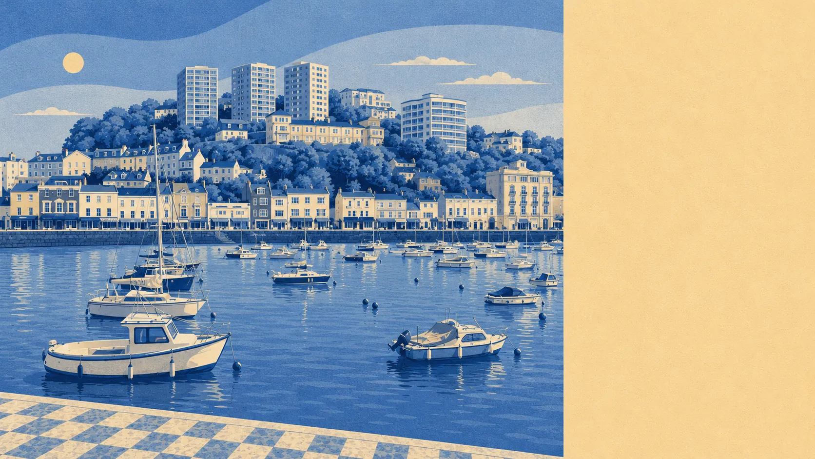
The land around Torquay is the best thing the town has, and it costs nothing to use. Green space starts at the end of almost every street. The water is a few hundred metres away from a typical front door. Coves, limestone cliffs and the coast path stitch the whole northern edge together. The seafront is what gets photographed, but the good stuff is the ground either side of it.
Green space access is the standout. A typical postcode here sits roughly 150 metres from its nearest patch of public green, with about 28 separate spaces inside a kilometre. That is not one large park doing the work for an entire town: it is a scattering of gardens, greens, cliff walks and cemeteries close enough that using them is a decision you make on the way out of the door rather than an outing you plan. Princess Gardens and the Royal Terrace Gardens sit above the harbour, Watcombe Park runs inland to the north, and Cockington Court holds a village-shaped estate of parkland inside the town boundary.
Water is closer still. The average postcode is around 600 metres from blue space, with roughly 26 separate stretches of water inside a kilometre, which in Torquay means the bay itself plus the string of coves cut into the headlands. Oddicombe, Meadfoot, Anstey's Cove, Babbacombe and Torre Abbey Sands are all separate propositions rather than one long beach, and the South West Coast Path connects them for anyone willing to take the hills seriously.
Cycling is the weak link in the outdoor picture. The nearest National Cycle Network route averages about 7 kilometres away, and no postcode in the area counts as close to one. Walking and swimming are catered for. Getting anywhere on two wheels is a road decision.
The high street is a resort high street. Rating and ownership records list 1,151 shop premises, 726 offices, 106 pubs and 88 restaurants across the area, alongside 310 premises recorded as holiday lets. That last figure is the one that tells you what kind of economy you are moving into: a good deal of the building stock earns its living from people staying a week rather than a lifetime.
Air is clean by the standards of anywhere built up. Fine particle levels for the Torbay council area averaged 5.3 micrograms per cubic metre in 2024. That is a council-wide reading rather than a street-by-street one, and it reflects a town with no heavy industry and a lot of wind coming off the bay.
The character shifts noticeably as you move around. St Marychurch and Babbacombe sit up on the northern cliffs with their own centre and their own downs. Wellswood and the Warberries carry the Italianate villas and the view. Cockington and Chelston are the softer western edge. Ellacombe and Plainmoor are the working residential middle that never appears in a brochure. Maidencombe and Watcombe thin out into something close to countryside before the town ends.
Private outdoor space holds up too, at roughly 103,000 square metres of garden per 1,000 residents. For a town where flats are the most common dwelling, that is a genuinely strong figure, and it reflects the Victorian plots and the generous back gardens on the interwar and post-war streets inland.
Eating out is safer than the town's cheap-resort reputation implies. Across 492 rated food premises, 83% hold the top hygiene score, and 4% sit at the lower end, which is precisely why the ratings are displayed in the window.
What the area does not have is a formal designation. There is no area of outstanding natural beauty here, no ancient woodland, and only a sliver of protected scientific interest at Kent's Cavern and Lummaton Quarry. The landscape is doing this on merit rather than with a plaque.
Surroundings are Torquay's real strength, and it is not close. Water, cliffs, parkland and gardens all within a few minutes of the house, protected by nothing more than the fact that nobody can build on a cove.