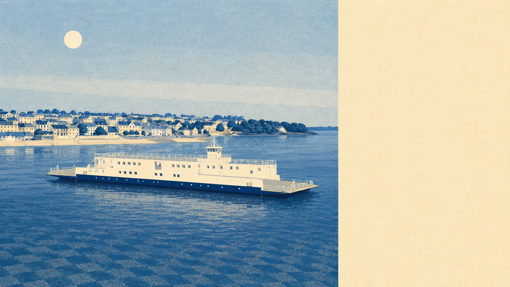
The surroundings are the best argument for living here, by a distance. Green space starts about 150 metres from the average front door. Water is barely further. Behind the town sits an entire peninsula of coast, parkland and lanes that most of the country pays holiday rates to visit. Torpoint's own high street is modest, and it does not need to be anything else when the setting does this much of the work.
Ordnance Survey greenspace mapping puts the average postcode here about 150 metres from public green space, with roughly 17 separate sites within a kilometre. That is not one municipal park doing all the lifting for a town of this size. It is a scattering of green within a few minutes' walk of almost every address, which is what happens when a settlement stops at the water on three sides and never got the chance to sprawl.
Water is closer still. The average postcode sits about 240 metres from blue space, with roughly 38 waterside features within a kilometre. Living on the Hamoaze, the tidal reach of the Tamar, means the estuary is not a view you drive to at weekends. It is at the end of the street, changing colour and height twice a day whether anyone is watching or not.
For getting out into it, the National Cycle Network runs an average of about 960 metres from the area's postcodes, and roughly 28% of them sit close to a route. That is decent access by rural Cornish standards, and it connects to the sort of lanes that people from elsewhere plan a week around.
The high street is small and honest about it. The valuation and ownership records for the area cover 85 shops, 24 pubs and a single restaurant, which tells you the eating-out culture here runs through pub kitchens rather than through anything with a tasting menu. Twenty-four pubs for a town this size is not an accident either. This has been a naval and dockyard town since Devonport pulled workers across the water, and the drinking infrastructure reflects the customer base rather than the guidebook.
Air quality is measured at council level rather than street level, and fine particle pollution across Cornwall averaged about 5.1 micrograms per cubic metre in 2024. That is a Cornwall-wide figure covering everything from Truro to the moors, quoted here as context rather than as a claim about any particular road.
The character comes from what is immediately behind the town rather than inside it. Mount Edgcumbe's parkland occupies the tip of the peninsula and faces Plymouth back across the Sound. Antony House, the Carew Pole family seat since the family commissioned Torpoint's grid in 1774, sits just outside the town. Beyond them the peninsula opens into Antony, Millbrook, Kingsand, Cawsand, Cremyll, Crafthole and the cliff-perched huts at Freathy. The town is the practical bit. The peninsula is the reason.
Private outdoor space is generous in a way public greenspace figures never capture. Gardens across the area work out at roughly 113,000 square metres per thousand residents, measured across the six neighbourhood areas covered. Buyers arriving from a city where a garden means a paved rectangle behind a terrace tend to recalibrate quickly.
On the wider commercial picture, the valuation list records 262 rateable premises in the town area, alongside 65 offices and 218 holiday lets in the ownership records covering the peninsula. Those are premises on a list rather than businesses guaranteed to be trading, but the holiday-let count says plainly what the coast round here is used for by people who do not live in it.
For eating out, 44 premises hold a published food hygiene rating, with about 80% at the top score of five and roughly 7% at the lower end of the scale. That is a reasonable record for a town whose food offer is essentially pubs and takeaways.
One honest absence worth stating: no area of outstanding natural beauty, no site of special scientific interest and no ancient woodland overlaps this area. The landscape here earns its keep by being close and usable rather than by carrying a designation, and the coast path does not check your paperwork.
The surrounding area is comfortably Torpoint's strongest card. Green space and water within a few minutes of nearly every door, a peninsula of coast behind the town, and gardens that would cost a fortune anywhere with a railway station.