Yes, as long as you buy uphill from the river. Six in ten households own their home. The grammar schools pull families in from miles around. Nearly a quarter of postcodes carry a high flood reading of some kind. Tonbridge is a sound town that keeps a river in the spare room.
The semi runs Tonbridge. About 35% of homes on the council-tax list are semi-detached, terraces and flats make up about 20% each, detached houses about 16% and bungalows about 7%. Only about 26% were built before 1930. That surprises people who arrive expecting a medieval market town and find a post-war commuter town with a castle parked in the middle of it. On the energy certificates, about half the certified stock rates A to C, about 39% sits in band D and about 11% is E or worse. About 81% of homes run on mains gas and about 8% heat with electricity alone. If the handsome older terrace you're viewing is one of the electric ones, ask to see the bills before you ask about the garden.
The Land Registry's last twelve months, to May 2026, put the typical sale at about £415,000 across 337 sales. The middle hides a wide spread. Flats sold for a median of about £240,000, terraces about £363,000, semis £450,000 and detached houses about £707,500. Council tax clusters in band C, and only about 9% of homes sit in bands A and B, so the cheap-band bargain is rarer here than the listing photos suggest.
Renting is harder to pin down. The typical private rent across the Tonbridge and Malling area was about £1,470 a month in April 2026. That figure covers the whole borough, villages included, so treat it as a borough average, not a quote for a flat by the station. No landlord has ever used the borough average as a reason to charge less.
On safety, the published rate for Tonbridge was about 74 crimes per 1,000 residents over the twelve months from June 2025 to May 2026, roughly 8% above the Tonbridge and Malling average. That's a town-centre rate set against a borough full of villages, so the comparison was always going to go this way. Police.uk records shoplifting as about 12% of the town's crime against about 8% nationally, which says more about a high street with shops worth stealing from than about the roads people live on. The worst night on record is still the 1880 election riot outside the Rose and Crown Hotel, when the crowd got bored of stoning each other and started on the police instead. Modern Saturday nights aim lower.
Schools are why a lot of families come here. Primary pupils across 23 schools in the local postcode districts average about 106 in the Key Stage 2 maths assessment, and the 11 secondaries post an Attainment 8 score of 60.5. Across Kent, Ofsted has graded 221 of 245 rated settings good or better. The Judd School, Tonbridge Grammar School and Weald of Kent Grammar School are the selective draw, Tonbridge School has been in the town centre since Sir Andrew Judde founded it in 1553, and Leigh Academy Tonbridge and Hillview School for Girls cover the non-selective side. The selective system turns buying a house into an eleven-plus for the parents, and the mortgage is the exam.
Tonbridge Rail Station is a junction, with lines to London, Ashford, Hastings and Redhill, and Hildenborough and High Brooms stations are close by. Even so, at the 2021 Census only about 5% of working residents took the train to work, about 40% drove and 38% worked from home. That's a lot of commuter housing where the commute now happens in slippers. Gigabit broadband reaches about 89% of premises, which is what makes the slippers possible, and the area has 155 bus stops.
The Medway gives and the Medway takes. On the Environment Agency's river-and-sea flood zones, about 10% of postcodes sit in the highest-risk zone and about 3% in zone 2. The wider postcode measure also counts surface water, and on that measure about 23% of postcodes show a high reading on at least one flood indicator. For centuries the town stayed north of the river because the south side flooded every season, and one part of it is still called Dryhill, which tells you what the early residents cared about most. The other side of the river is the upside: the average home is about 205 metres from green space, with about 18 green spaces within a kilometre, and about 1% of the area falls inside the High Weald Area of Outstanding Natural Beauty.
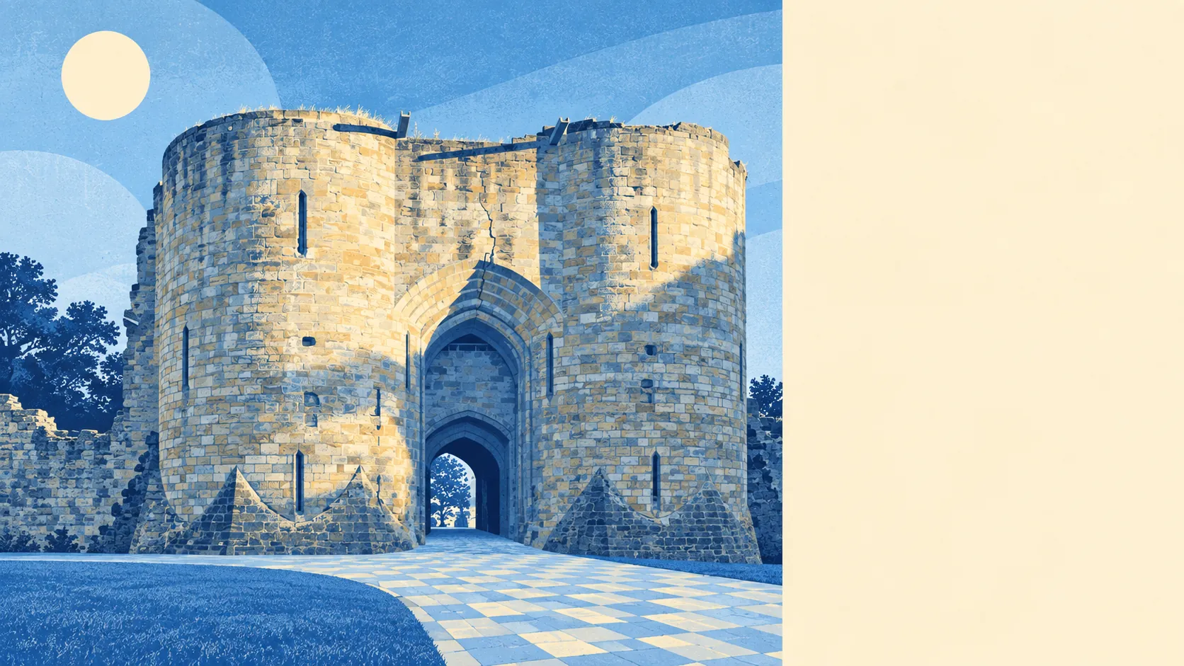
Tonbridge has 146 listed buildings, two at Grade I and six at Grade II*, plus five conservation areas, including Tonbridge itself and Quarry Hill. Tonbridge Castle and the Port Reeve's House on East Street set the tone in the old core. If you buy there, changing your windows means asking the council first.
The town is settled rather than young. About 63% of households own their home, the typical resident is 42, and median gross household income was about £65,000 in the financial year to March 2023, as modelled by the Office for National Statistics. This page also covers Tudeley, the village in the parish of Capel that shares Tonbridge's orbit.
Tonbridge suits families who have done the school maths and want a real station and a working high street attached. It also suits home workers who want fields within a walk and London on the timetable for the days they have to go in.
It suits buyers less if they pick a street by its look and not its flood map, or if they want the spa-town polish of Royal Tunbridge Wells without paying for it. That trade is honest both ways: Tunbridge Wells sells the prettiness, and Tonbridge sells the grammar schools, the junction and the lower bill.
The famous names fit the place. Frank Woolley, the Kent and England cricketer, was born and raised here, in a town that made cricket balls until the old factory on Preston Road was knocked down in 2012 for housing. The actor Harry Andrews was born here too. So was Reginald Punnett, the geneticist, which suits a town where parents plan their children's education this carefully.
Tonbridge is a good place to live, and the green space around it is its real strength. The weak spot is flood risk, and it varies from one street to the next. Check the flood map before the school tables and you'll do well here.