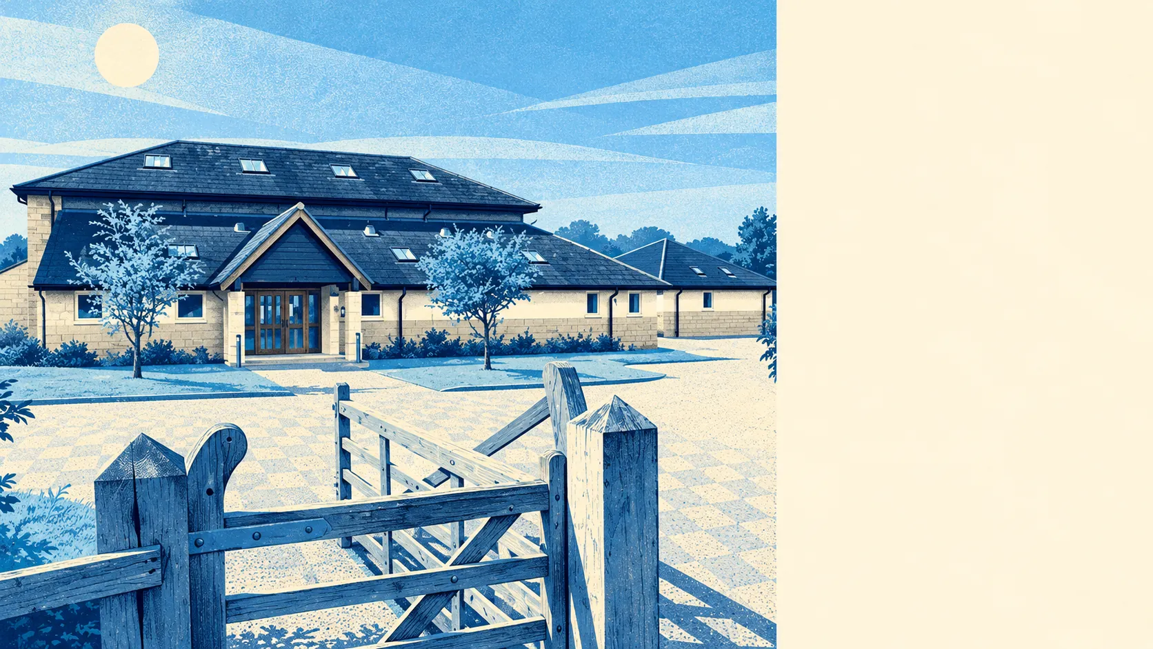
The area around Toddington is open countryside with a village in the middle, and a motorway along one side. Green space is a short walk from most front doors. There's water nearby too, mostly ponds and streams. The Chilterns reach into one corner. Most people here also have a big private garden.
On average, the nearest public green space is about 280 metres from a home in the Toddington area, with about 9 within a kilometre. Most residents can reach a field, a recreation ground or a footpath faster than they can find their car keys.
Water is close as well. The nearest blue space averages about 470 metres away, with about 8 within a kilometre, though that count covers ponds, brooks and lakes. None of it is big water.
Cycling infrastructure is thin. The nearest stretch of the National Cycle Network is about 4.3 kilometres away on average, and no postcode in the area is close to it. The area has no ancient woodland on record. The countryside here is farmland and hedgerow, and the cyclists who do ride in it share the lanes with tractors.
Across the wider postcode districts that include Toddington, the rated-premises records list about 1,200 shops, 78 pubs and 57 restaurants. Those districts take in a slice of Luton, so the village itself has a much smaller share. A pint in Toddington means one of the village pubs, while a big shop means a drive.
Central Bedfordshire's average fine-particle level was about 7 micrograms per cubic metre in 2024, a figure for the whole council area that isn't broken down by street.
About 7% of the area falls inside the Chilterns Area of Outstanding Natural Beauty. Further out, the scheduled monuments include Sharpenhoe Clappers, an Iron Age promontory fort, and Maiden Bower hillfort, and Woburn Abbey is on the listed-buildings register for the wider surroundings. The page also covers Chalgrave and its hamlets of Tebworth and Wingfield, plus Harlington and Streatley, and the hamlet of Fancott belongs to Toddington's own parish. The hills around here were being fortified long before anyone thought of building a service station at the bottom of them.
Private gardens average about 157,000 square metres per thousand residents across the area's six neighbourhoods. Most homes here come with a proper patch of lawn to look after, and the lawnmower probably gets more use than the bus.
The business rates valuation list records 164 rateable premises for the area. Offices (32) and shops (27) are the two biggest groups. Those are premises on the valuation list, and some may be empty. Any one of them could be a busy shop or a room above a garage.
The Food Standards Agency has rated 51 food outlets in the area, and about 78% hold the top hygiene score of five. Only about 2% are rated at the bottom end.
The area has no site of special scientific interest and no ancient woodland on record. Apart from the Chilterns corner, the landscape around Toddington has no formal protection. It's ordinary Bedfordshire countryside that still makes a pleasant setting for a village.
The surroundings are one of Toddington's real strengths. Fields, water and a large garden are all close at hand for most residents, and the motorway is easy to reach without being in the view.