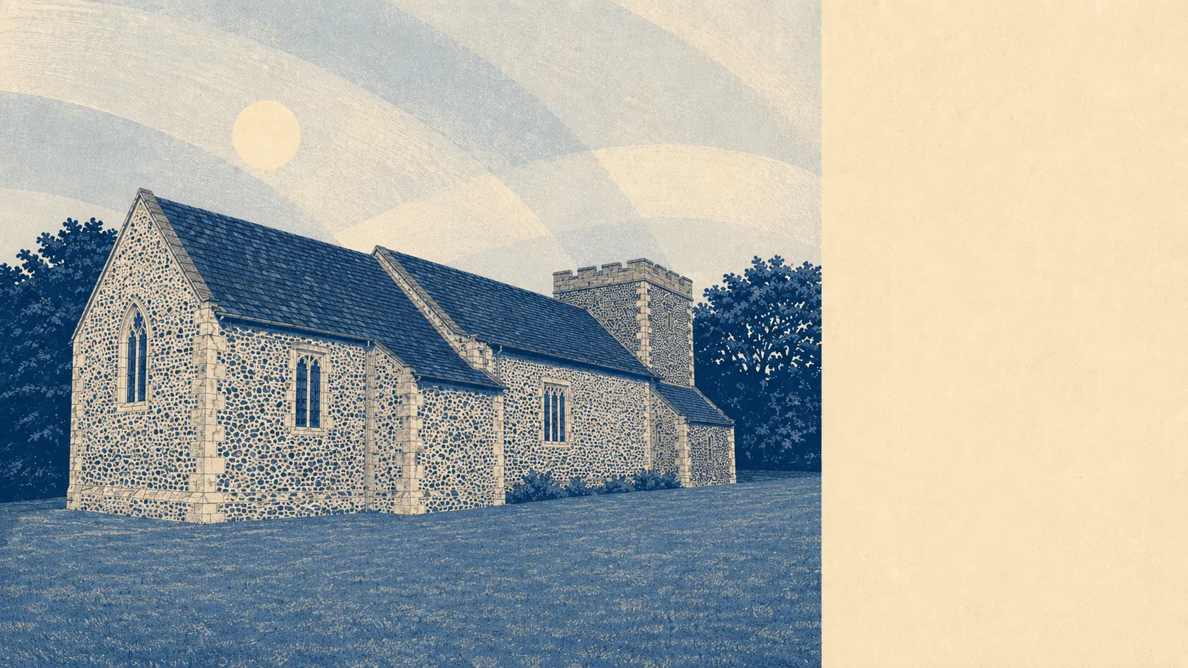
The land around Tidworth does the work the town itself cannot. Green space begins at the end of the street rather than at the end of a drive, with roughly 30 separate patches of it within a kilometre of the typical address. Water is close as well. Past the last row of houses the ground opens onto Salisbury Plain and simply keeps going. None of it carries a protected-landscape label, and none of it is asking for one.
The green space access here is genuinely unusual. The average postcode sits about 76 metres from a green space, with roughly 32 of them inside a kilometre. Seventy-six metres is not a walk, it is a decision made on the doorstep with the dog already pulling, and it is the single fact that most changes what living here feels like day to day.
Water is nearly as close. Blue space averages about 293 metres from a postcode, with roughly 27 within a kilometre, which for an inland town on the edge of the Plain is more than most people expect. The small River Bourne runs through the valley the two old settlements of North Tidworth and South Tidworth grew up either side of, and it is still the reason the town sits where it sits.
Cycling is the weak link in all that access. The nearest National Cycle Network route averages about 4.8 kilometres away, and no postcode in the town counts as close to one. There is no ancient woodland here either, so the walking is open ground rather than tree cover.
Private outdoor space is where the numbers stop being ordinary. Across the six neighbourhoods measured, gardens run to roughly 62,000 square metres per 1,000 residents. That is the figure worth holding onto, because public green space is only half the question and nobody ever tells a buyer whether the houses themselves come with anything behind them. Here they generally do.
As for what is actually in the town, the council-tax valuation list carries 98 rateable premises across the area, including 43 shop units, 15 offices, three restaurants, two pubs and one holiday let. Those are premises on a list rather than businesses currently trading, so treat them as the shape of the place rather than a directory. It describes a town that services itself and does not pretend to be a destination.
On eating out, 38 premises hold a current food hygiene rating, about 66% of them at the top score and about 5% at the bottom of the scale. That is a normal spread for a town this size, and the ratings are published for anyone who wants to check a specific door before booking a table.
Air quality across the Wiltshire council area averaged about 6 micrograms of fine particulate matter per cubic metre in 2024. That is a council-wide figure rather than a street-level one, so it describes the general condition of the air here rather than any particular road.
One honest absence is worth stating: no area of outstanding natural beauty overlaps this place, no site of special scientific interest, no ancient woodland. The countryside here has never been designated as anything, which is not a criticism of it. It is working land, used by the Army and farmed around, and the compensation is that nobody has fenced it off, gift-shopped it or put a car park at the entrance. Sidbury Hill still carries its Iron Age hillfort. The barrow cemeteries and boundary earthworks are simply out there on the downland, unsupervised, and Perham Down and Shipton Bellinger sit in the same open country.
If anything genuinely sells Tidworth, it is the ground it stands on. Green space at the doorstep, water minutes away, proper gardens and thousands of open acres immediately beyond the last house is a combination most towns cannot buy at any price, and this one gets it for free.