Tidworth is the Army's town, and everyone else is a lodger. Seven in ten households rent. The median resident is 28. Just over a quarter of homes are lived in by the people who own them. This is not a Wiltshire market town with a barracks on the edge of it. It is a barracks with a town attached.
The housing stock is unusually even, and unusually young. On the council tax valuation list, which covers every dwelling rather than only the ones sold or certificated recently, terraced houses and semis take about 32% each, flats about 21%, detached houses about 12% and bungalows about 2%. Only around 7% of dwellings predate 1930, and about 18% went up between 2000 and 2008. Energy certificates say the same thing in a different accent: roughly 74% of certificated homes sit in bands A to C, about 19% in band D and about 6% in band E or worse. Around 70% run on mains gas, about 13% on electricity alone, and about 1% have no central heating at all. Electric-only heating is the difference between a cheap purchase and an expensive winter, and it is worth establishing which one you are viewing before you fall for the kitchen.
Over the Land Registry's last twelve months, to late May 2026, the typical sale here came in around £270,000 across 50 transactions. Terraces went at about £259,000, semis about £289,000, flats about £162,000, and the six detached houses that changed hands about £413,000. A flat and a detached house in Tidworth are not really in the same market, and the average between them describes nothing anyone actually bought. Council tax is banded low by national standards: band C is the most common, about 45% of dwellings sit in band A or B, and a band D bill runs to roughly £2,570 a year.
Rent is only published across Wiltshire as a whole, so it is an area typical rather than a Tidworth number. Typical private rent across the Wiltshire area is about £1,060 a month, up about 7% over the year to April 2026, with two bedrooms averaging around £950 and three around £1,190. In a town where most households rent, that county figure is the one most people are living with.
Recorded crime runs at about 57 offences per 1,000 residents over the twelve months to May 2026, roughly 9% below the Wiltshire average of about 62. That published rate uses its own population base and is not the incident count divided by the number of people who live here. Violence and sexual offences account for about 51% of recorded crime against about 35% across England and Wales, which reads badly until you know it is a broad statutory grouping that sweeps in common assault without injury, and that anti-social behaviour makes up another 21%. Wiltshire Police charge in about 10% of cases against about 12% nationally, and record no suspect in about 34%.
Ofsted has graded 128 settings across Wiltshire, of which 106 are good or better and 6 outstanding, against 20 requiring improvement and 2 inadequate. Across the four schools covering these postcodes, the average score in the national tests taken at the end of primary is about 102. Clarendon Infants' School and Clarendon Junior School sit under one federation, with Zouch Academy and Wellington Lions Primary Academy alongside, and Shipton Bellinger Primary School serving the village. Primary is a six or seven minute walk on the modelled journey times. Secondary is closer to half an hour on foot, or about ten minutes in a car, which is the same thing as saying the school run is a driving job.
The railway station closed in 1963 and nothing replaced it. About 52% of working residents drive, 22% work from home, 14% walk, 4% take a bus and 3% cycle; the share commuting by train does not reach 1%. There are 58 bus stops around the town, 46 of them with published service data averaging about 79 scheduled weekday departures each, about four an hour at peak, and every one of those stops has a weekend service. The nearest town centre is about 26 minutes by car and about 45 by public transport, and that gap is what decides whether a household keeps a second car. The broadband is better than the roads: gigabit service reaches about 82% of premises, superfast about 97%, and nothing falls below the universal service obligation. Every postcode gets a mobile signal from at least one operator and about 98% from all of them. There is one public charging point with two connectors, so an electric car here is a home-charging proposition.
On the postcode indicators, which include surface water, about 7% of Tidworth postcodes carry a high rating on at least one flood measure, about 6% medium and about 20% low. On the Environment Agency's river and sea flood zones the figures are smaller: about 2% of postcodes fall in zone 3, about 1% in zone 2, and about 4% once the climate change allowance is applied. No postcode carries a recorded historic flood. Green space is the town's best feature by a distance: the average postcode is about 76 metres from one, with roughly 32 within a kilometre, and water about 293 metres away. The ground underneath is calm, with shrink-swell, landslide and running-sand hazards all in the lowest class and radon in the low band. Road noise is the exception, since every postcode sits near a road modelled at 65 decibels or more, and the loudest band reaches 75.
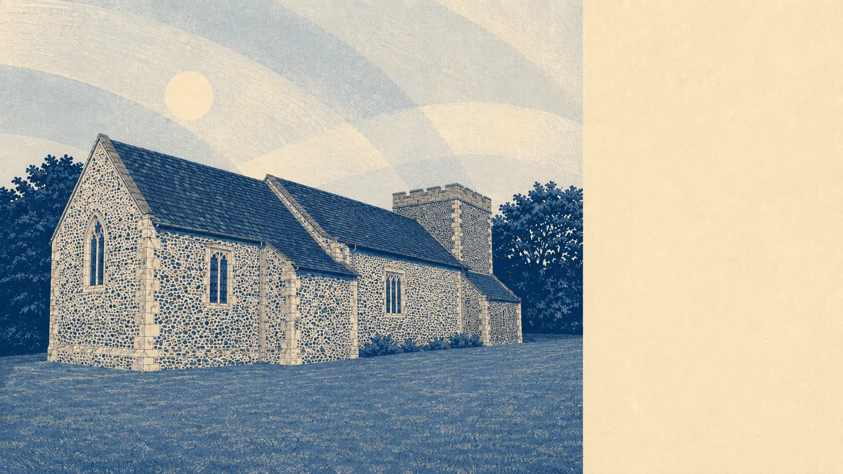
Heritage constraint is close to nonexistent. There are 23 listed buildings, one at grade one and two at grade two star, and no conservation area inside the town, the nearest being at Ludgershall. Three scheduled monuments sit in the surrounding area, all prehistoric earthworks out on the training land rather than anything you would want to extend. Unless you are buying South Tidworth House, the Church of St Mary or the Church of the Holy Trinity, nobody is going to tell you what colour to paint the front door.
About 28% of homes are owner-occupied and the median age is 28. Roughly 42% of households are couples with children, about 16% are people living alone, and under 4% are pensioners on their own. Just over a thousand residents live in communal accommodation rather than households, which is the garrison appearing in the figures. Unemployment sits at about 2% and about 91% of residents report good or very good health, which is what a town full of people in their twenties and thirties looks like on paper. Perham Down and Shipton Bellinger are covered here too, and both are quieter again.
It suits families who want a modern house with a garden, a school within walking distance and open country starting at the end of the road, and who own a car and have made peace with using it. It suits people who want their money to buy floor area rather than a postcode.
It does not suit anyone who needs a train, anyone who wants a Georgian frontage and a high street with a butcher on it, or anyone hoping for a settled street where the same neighbours are there in five years. Turnover is the town's defining feature, and no amount of viewing at the weekend will show you that.
Domesday recorded two settlements here in 1086, one in Wiltshire and one in Hampshire, and the boundary between them was not sorted out until 1992, with the two parishes finally merging in 2004. The War Office bought Tedworth House and its grounds in 1897 to reach Salisbury Plain, and the barracks followed. Sidbury Hill still carries its Iron Age hillfort, which has outlasted every unit that ever trained beneath it. The town's two best-known natives, the artist Duggie Fields and the musician James Blunt, were both born here and neither stayed, which is the most Tidworth fact available.
Tidworth is a good place to live if you take it on its own terms. Its real strength is the ground it sits on: green space at the end of nearly every street, open country immediately past that, and none of the flood or geological trouble that quietly taxes prettier towns. The weak spot is getting anywhere, because the railway left in 1963, the bus takes the long way round and the car does everything. Buy here for the space, the price and the sky. Do not buy here expecting the rest of the country to come to you.