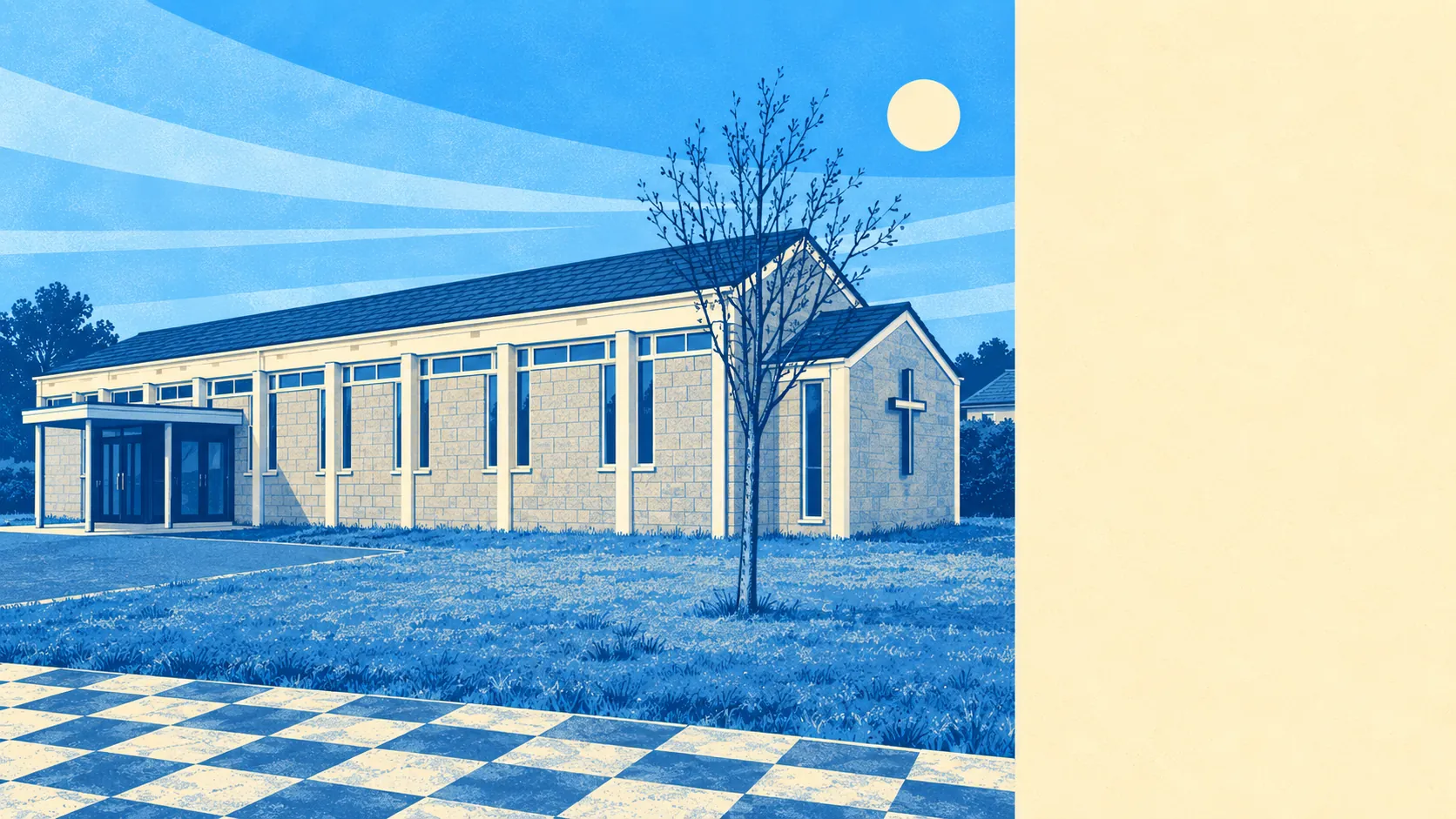
Open, green and thoroughly unglamorous, which is the combination people underrate until they live in it. Green space starts within a couple of minutes of most front doors. There is water within an easy walk and a good deal of it. Gardens here are large by any urban standard. Nothing around here carries a protected-landscape label, and the surroundings are better than that absence suggests.
Green space is the headline. The typical home here sits around 175 metres from the nearest accessible green space, with about 8 separate sites inside a kilometre. That is not one municipal park doing all the work for a village. It is a scatter of spaces close enough that walking to one is a decision you make without thinking about it.
Water is nearly as close. Blue space averages about 650 metres away, with roughly 9 separate bodies of water within a kilometre. Cornwall being Cornwall, this is river, stream and pool country rather than anything you would swim across, but it means the walks have something moving in them.
The National Cycle Network is the weak link in the outdoor picture. The nearest route sits about 3.1 kilometres away on average, and no part of the area counts as close to one. Getting onto a proper traffic-free route involves a drive or a stretch of road riding first. There is no ancient woodland recorded here at all.
What passes for a high street is spread across the wider area rather than concentrated in one parade. The ownership and rating records cover 65 shops, 20 pubs, 7 restaurants and 169 office premises, alongside 288 holiday lets, which is the most Cornish line in the entire dataset. Twenty pubs and seven restaurants tells you how people here have historically chosen to spend an evening.
Air quality is good in the way most of Cornwall's is. Fine particle levels across the Cornwall council area averaged about 5 micrograms per cubic metre in 2024, which is a county-wide figure rather than a street-level reading.
The character of the surroundings comes from the places pressed up against it. Treliske and Gloweth sit on the Truro side, Highertown beyond them, with Shortlanesend, Chacewater, Baldhu and Playing Place scattered through the lanes in the other directions, and Twelveheads and Bissoe out in the old mining valleys. It reads as suburb on one edge and farmland within a few minutes on the others, which is why the green space figures look the way they do.
Private outdoor space is the part nobody puts in a listing. Gardens here run to roughly 203,000 square metres per 1,000 residents, which is a great deal of hedge, lawn and shed per household. The post-war plots are generous, and anyone arriving from a city terrace will spend the first summer working out what to do with the space and the second one resenting the mowing.
On the non-domestic rating list, 242 premises are recorded in the area, which for a place this size is a working local economy rather than a dormitory with a shop. Rateable premises are not the same as businesses currently trading, so treat the list as the built stock rather than as a directory.
Eating out is a small field in good order. Of the 16 rated food premises, about 88% hold the top food hygiene score, and none sit at the bottom of the scale. Limited choice, reliably clean.
There is no area of outstanding natural beauty here, no site of special scientific interest, and no ancient woodland. None of that makes the surroundings worse. It means the green space here is ordinary working countryside and everyday parkland rather than anything designated, protected or photographed for a calendar.
The area around Threemilestone is its single best feature, and the one thing it does better than places charging considerably more. Green space at the end of the road, water within a walk, gardens with actual room in them, and no designation anywhere to make a fuss about any of it.