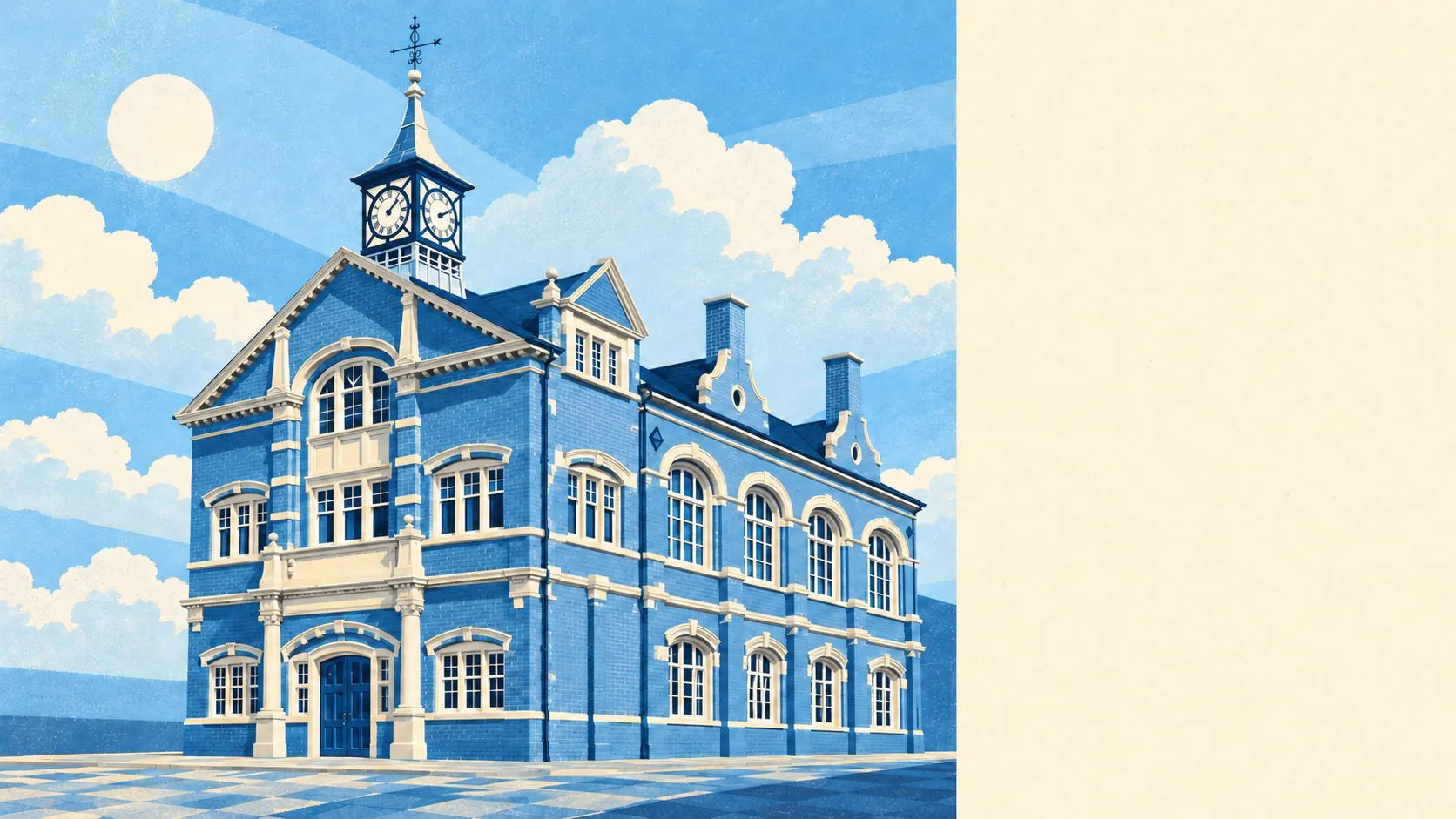
The countryside around Thame begins almost at the end of the garden path. Green space is about 140 metres from the average front door. About two dozen green spaces are within a kilometre. Water is under half a kilometre away. None of it carries an official landscape designation, and it doesn't need one to be good.
The typical home in Thame is about 140 metres from the nearest public green space, and has about 24 green spaces within a kilometre. That's an average across the town, so walk from the actual house to its nearest green space yourself, because a garden backing onto a field and a flat on the ring road give very different answers.
Water is about 450 metres away on average, with about 21 bodies of water within a kilometre. The River Thame runs along the north side of the town. In 1940 a lorry driver, Willocks McKenzie, found a hoard of late medieval coins and rings beside it, and the town later put the cross from one of the rings on its emblem. The riverbank has paid out before.
The National Cycle Network is about 530 metres away on average, and 47% of postcodes are close to it. The nearest stretch is the Phoenix Trail, laid along the old trackbed to Princes Risborough after the oil depot it served closed in 1991. The line's last regular traffic was oil, and now it carries bicycles. There is no ancient woodland inside the area.
The local premises records list 148 shops, 23 pubs and 8 restaurants. So in Thame you're far more likely to have a pint or go shopping than to sit down for dinner. All 78 rated food outlets have a hygiene score, and 78% of them hold the top one.
Fine-particle air pollution across South Oxfordshire averaged about 6.7 micrograms per cubic metre in 2024, a district-wide figure.
The town is built around the boat-shaped High Street, with the hamlet of Moreton just to the south and Towersey and Postcombe further out. Beyond the edge of town you find Thame Park, built on the site of a Cistercian abbey suppressed at the Dissolution, as well as Rycote Chapel, Notley Abbey and the garden at Turn End, with Shabbington, Kingsey and Emmington scattered around the fields. The land around Thame has had grander owners than any modern designation.
Private gardens add up to about 92,000 square metres for every 1,000 residents. That's a lot of lawn per person, and it reflects a town built mostly after the war on plots big enough for a proper back garden as well as a front one.
The business rates list records 498 rateable premises in the area. Offices are the biggest single category at 151, and premises classed as shops come second. These are buildings on the valuation list, and some may be empty or used differently from how they are listed. Even so, the mix shows a town where many people work at desks within walking distance of the High Street.
At the bottom of the hygiene scale, about 1% of the town's 78 rated food outlets scored low, against 78% with the top score. It's a good record for a town with this many pubs.
No area of outstanding natural beauty, site of special scientific interest or ancient woodland overlaps Thame. It's ordinary Oxfordshire farmland, river and parkland, and it doesn't need an official designation to be a pleasant place to walk.
The surroundings are one of Thame's real strengths. Fields, river and parkland are a short walk from almost every home, and most houses have a decent garden of their own.