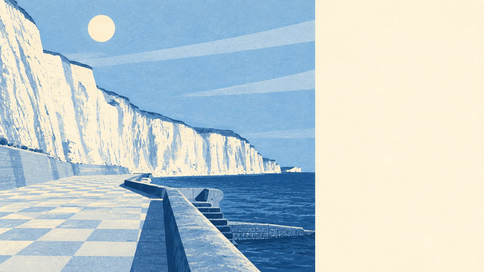
Not from the sea or a river, but not so dry that you can skip the check. None of it is in a river or sea flood zone. About one postcode in seven still carries a high flood rating. The risk that is left comes down from the sky, not in off the Channel. Check the address, not the town.
On the Environment Agency's river-and-sea flood zones, none of the area's postcodes are in zone 3, the higher-probability band, and none are in zone 2, the medium-probability fringe that sits beyond it. On that measure the answer is a clean zero. It's worth stating plainly, because a clifftop town with a coast road invites the assumption that the sea is the problem. On this mapping, it isn't.
So the flood risk that does exist here comes from somewhere other than rivers and the sea, and surface water is the one a buyer should look at first. Surface-water flooding happens when heavy rain can't drain away fast enough and collects on roads, in dips and against buildings. Height above the waves offers no protection from it. It depends on the slope of the street, the drains and where the water runs, which is why it varies from one address to the next.
The Environment Agency's climate-adjusted flood zone, which projects the river-and-sea zones forward under a changing climate, also covers none of the area's postcodes. On that forward look, the river-and-sea picture stays clear.
For insurance, the lack of river-and-sea zone risk works in a buyer's favour. Insurers still price surface water, though, and they price it by address. A home on a postcode with a high rating can be quoted differently from one a few streets away, so get a quote on the exact property before you commit.
The postcode-level indicators fold surface water in with rivers and sea. On at least one of those measures, about 14% of the area's postcodes rate high, 12% medium and 23% low. These bands overlap with the zone figures above. They are a different measure, not something to add on top, and they are why the empty flood zones aren't the whole story.
The modelled flood extents show no postcodes inside a high-risk extent at all, whether or not a defence is present in the model. No defence question arises, because the model has no high-risk water reaching these postcodes. In these models, "defended" only ever means a defence exists in the model. It is never a promise that a house stays dry.
The sea is close. About half the postcodes, 51%, sit within 500 metres of the coast, the threshold the data uses. The nearest is about 44 metres from it and the median about 490 metres. The 500-metre line describes the area, not any particular home, and the distance of a specific house from the cliff edge is worth checking on the ground.
The shoreline management plan for this stretch sets a policy to hold the line at the 20-, 50- and 100-year horizons. That is a stated intention to keep maintaining defences over those periods. It is not a guarantee, and it is not a description of defences already built.
The nearest tide gauge, at Portsmouth, recorded sea level rising at about 2 millimetres a year across its record from 1962 to 2023. That is a measured historic rate over those years, not a forecast of what comes next.
There is no recorded historic flooding in the area. That is reassuring, but it means no flood is on the record, not that none has ever happened.
Before you instruct a solicitor:
- Put the exact address into the Environment Agency's long-term flood risk checker, paying particular attention to surface water.
- Get an indicative buildings-insurance quote on the specific property.
- Ask the seller directly whether the home has ever flooded or made a flood claim.
- Walk the street after heavy rain, or ask a neighbour where the water collects.
The flood risk here is middling. It's clear on rivers and the sea, but with enough surface-water exposure that every address needs its own check.