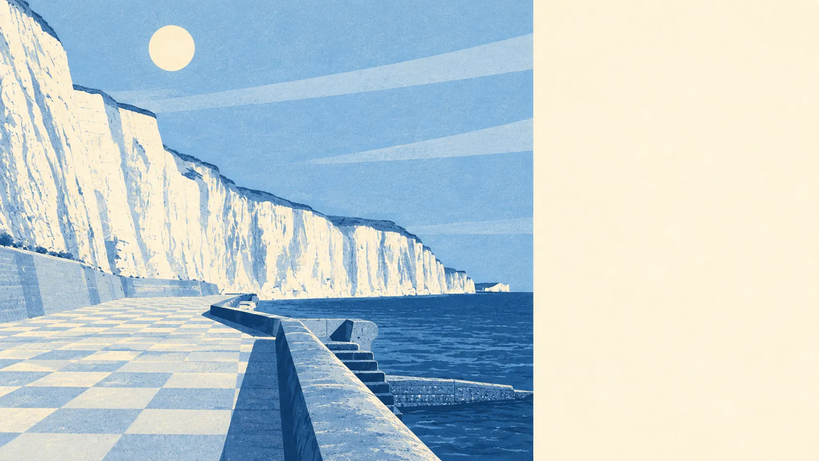
Yes, if you treat the Channel as a view and the car as a limb. Seven in ten own. Four in ten homes are bungalows. Almost nobody gets the train. Comfortable, yes. Connected, not especially.
Bungalows run the place. On the council-tax valuation list, which covers every home, about 40% are bungalows and 24% are flats. Detached houses make up 16%, and terraces and semis manage about 10% each. Only about 6% of homes were built before 1930, so anyone hunting for a Victorian fireplace has picked the wrong clifftop. The energy certificates split almost down the middle: about 46% rated A to C, 43% in band D, and 11% in E or worse. About 79% of homes heat off mains gas and about 7% run on electricity alone. That second group is the one to ask about before the viewing, not after the first January bill.
The Land Registry recorded 53 sales in the twelve months to May 2026, at a median of about £334,000. Flats went for around £235,000 and terraces for around £286,000. Semis came in at around £366,000 and detached houses at around £462,500. Nobody charges extra for the sea air, but it's there in the detached figure. Band C is the most common council-tax band, and only about 27% of homes sit in bands A or B. The cheap-band bargain the listing hinted at is rarer than the listing hinted.
Renters get a district figure, not a local one. Typical private rent across the Lewes area was about £1,320 a month as of April 2026. It is averaged across the whole district, not worked out for these streets, so a letting agent who quotes it as "the going rate round here" has picked the version of the arithmetic that suits them.
Police.uk recorded crime at about 60 per 1,000 residents over the twelve months to May 2026, roughly 18% below the Lewes district average. That puts the place on the quieter side of an already unremarkable district. The disputes that actually take up residents' energy are more likely to involve a dropped kerb and whoever parked across it.
Transport is where it goes wrong. The stations the area relies on are Newhaven Town, Newhaven Harbour and Southease, none of them on the clifftop. At the Census 2021, about 1% of working residents commuted by train. About 47% drove, 9% took the bus and 31% worked from home, which is the most honest review of the rail options anyone is going to write. The bus does most of the work. There are 20 stops, each averaging about 445 scheduled departures on a weekday and about 22 buses in the peak hour, and every one of them has a weekend service. The Department for Transport's 2019 modelling puts the nearest town centre about 23 minutes away by public transport or 15 by car, and a hospital about 28 minutes by public transport. Superfast broadband reaches every premises and gigabit about 67%. Every postcode gets 4G or 5G from at least one operator.
The Environment Agency's river-and-sea flood zones don't touch the place: none of it is in zone 2 or zone 3. The postcode-level indicators, which include surface water, are less tidy. About 14% of postcodes carry a high rating on at least one flood indicator, 12% medium and 23% low. Surface water comes from rainfall, not the sea, and living high above the waves doesn't exempt a road from it, so check the exact address. Half the postcodes sit within about 500 metres of the coast, and the shoreline management plan's policy for this stretch is to hold the line over 20, 50 and 100 years. The British Geological Survey puts every postcode in a higher radon band and on soluble rock, so a radon test and a survey that knows about chalk are cheap bits of diligence. The outdoors is the good news. The nearest green space averages about 350 metres away, with about eight within a kilometre, and the National Cycle Network runs about 280 metres from the average home. The downland of Telscombe Tye sits behind the town. The cycle route is a street or two away, and the car on the drive will never use it.
Heritage rules barely get a look in. There are two listed buildings, both grade II, and no conservation areas inside the area, so putting a dormer on a bungalow is a planning conversation rather than a planning war. The planning records show 189 applications in the twelve months to June 2026, and the town is not short of ambition for its lofts. The protected history is out on the downs: two scheduled monuments sit within the area, including barrows on Telscombe Tye, and nobody is getting an extension approved on one of those.
About 74% of households own their home, and the typical resident is 46. That's old enough to own the house and young enough to still be paying it off. Gross household income averaged about £50,300 in the financial year to March 2023, in the Office for National Statistics' modelled estimate. It adds up to a settled, owner-occupied, working-age town that has chosen quiet on purpose.
This page also covers Saltdean, the next stop along the coast road towards Brighton, most of which falls inside Brighton and Hove. The trade between the two is about which council and which bus timetable you'd rather have, rather than whether either one is the better address.
It suits buyers who work from home or drive, want a detached house or a bungalow at a price Brighton stopped offering years ago, and would rather walk on the downs than queue at a bar. Couples and downsizers who want single-storey living with the sea in earshot will find the stock was more or less built with them in mind.
It doesn't suit anyone whose job needs a daily train. Those buyers spend the first month enjoying the view and the next year learning the bus timetable by heart. If car-free living and a pub crawl on foot are your idea of the coast, the clifftop will feel like a very nice waiting room.
Telscombe Cliffs is a good place to live for people who have already made peace with the car. Its real strength is the surroundings: downland behind, sea in front, and green space a short walk from almost every door. The weak spot is transport, with no station of its own and a commute that depends on the bus or the car. Buy here for the view, and put the train out of your mind.