Tadley started life as a clearing in a wood, and the wood never went far. Green space sits a couple of minutes from most front doors. Water is closer than most people expect. The fields next door hide barrows, earthworks and a Roman town. The countryside here is a neighbour, not a day trip.
Green space is the area's strongest suit. The average home is about 140 metres from the nearest green space, and has around 19 within a kilometre. That is less a choice of park than a choice of direction. Dog walkers in Tadley don't plan routes; they pick a gate.
Water is nearer than a town with no river problem would suggest. The average home sits about 480 metres from the nearest blue space, with around 17 ponds, streams or other water features within a kilometre. None of it is a beach, and none of it needs to be.
Cycling for pleasure takes a little more effort. The nearest stretch of the National Cycle Network is about 3.2 kilometres from the average home, and no postcodes sit close to it, so the bike rides start with a road section. There is no ancient woodland recorded within the area's boundary.
The high street, such as it is, runs to shops and pubs rather than dining. The valuation list records 146 shop premises, 45 pubs and 4 restaurants across the area. Nobody moves here for the tasting menus. Food hygiene is solid: of 58 rated food outlets, about 69% hold the top score.
Fine-particle air pollution across the Basingstoke and Deane council area averaged about 6 micrograms per cubic metre in 2024. That is a council-wide figure, not a reading from any particular street.
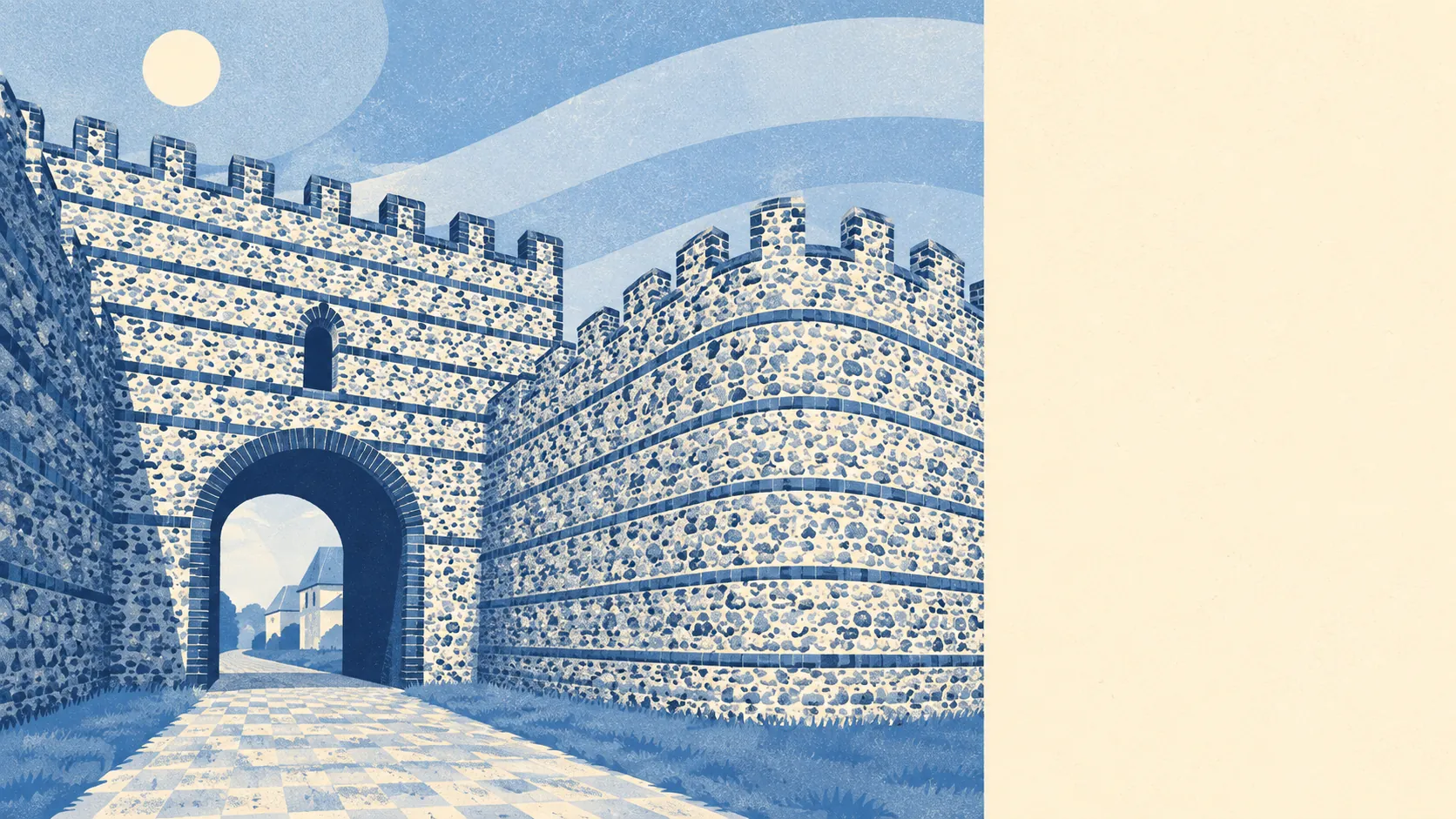
The character comes from what surrounds the town rather than what sits in its middle. The shopping clusters along Mulfords Hill and Bishopswood Road. Beyond the houses, the named history thickens fast: the Roman town of Calleva Atrebatum near Silchester, the priory church at Pamber, the barrow cemetery at Holden's Firs, and long sections of the earthwork known as Grim's Bank running through the woods. Aldermaston Court and the park at Wasing Place sit within reach. The town is modern; the landscape round it has been busy for a couple of thousand years and saw no need to announce it.
Private outdoor space is generous. The area carries about 254,000 square metres of garden per 1,000 residents, the measure that shows how much garden people actually have rather than how much farmland surrounds them. Most homes come with a proper plot, which is how a post-war town ends up with more lawnmowers than restaurants.
The local rating list holds 329 rateable business premises, with offices the largest group at 87 and shops next at 56. These are premises on the valuation list, not a count of businesses trading today, but the shape is clear: a working town of small offices and local shops, not a destination high street.
For eating out, 69% of the 58 rated food premises hold the top hygiene score, and about 5% sit at the low end. The kitchens are mostly clean. There just aren't many of them.
No protected-landscape designation overlaps the area: there is no area of outstanding natural beauty, no site of special scientific interest within the boundary, and no ancient woodland. What surrounds Tadley is ordinary, well-used countryside, the kind with footpaths and stiles rather than visitor centres and car park charges.
The surroundings are the best thing about Tadley: green space at the end of the road, water within a short walk and a landscape full of history that nobody has turned into a gift shop.