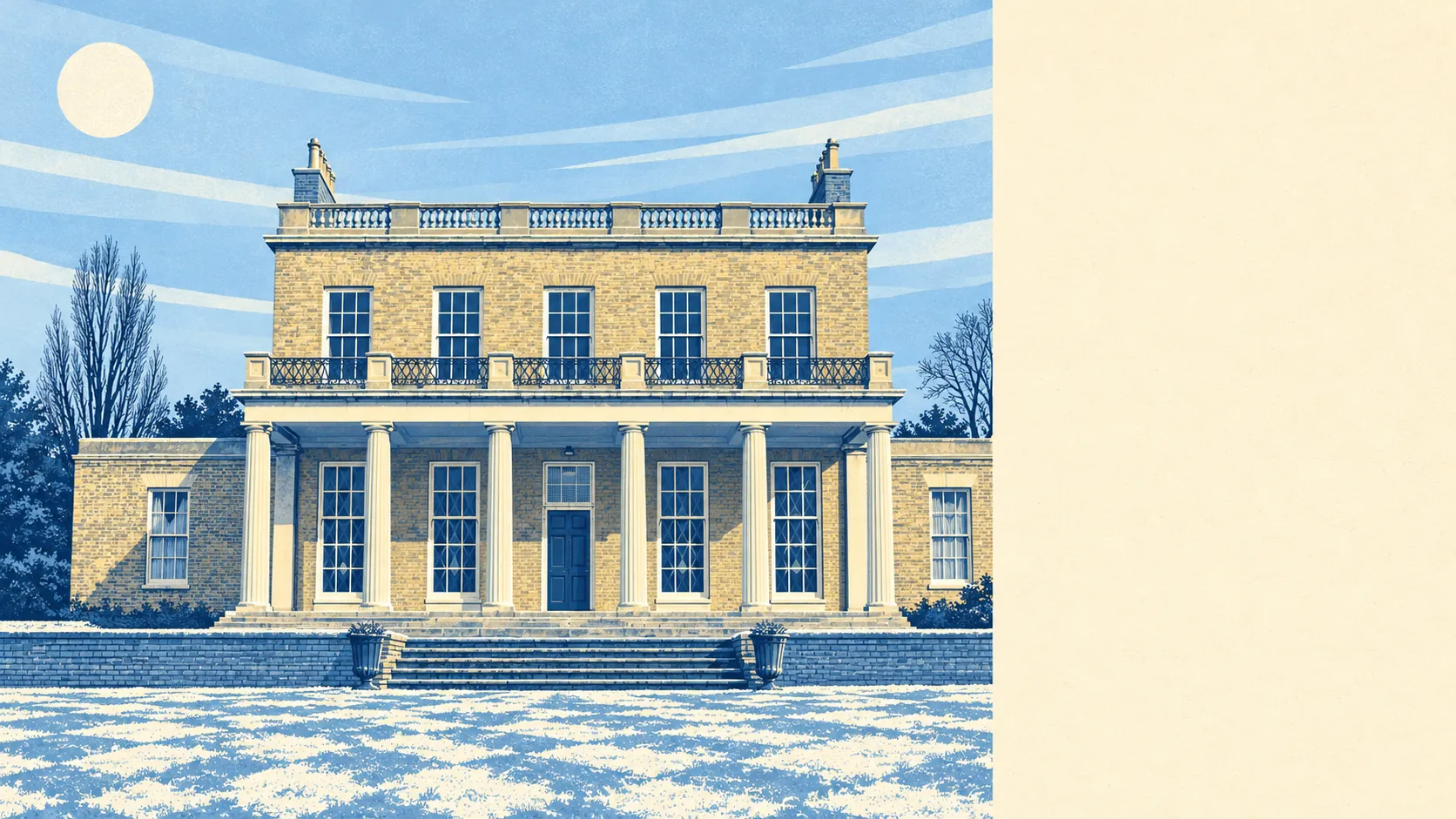
Stoke Newington comes with a very expensive label and a mixed street behind it. Its neighbourhoods average about three on the government's ten-point deprivation scale, where one means the hardest-pressed. A buyer pays inner-London money here and moves in beside people with a lot less of it. The sourdough describes one Stoke Newington, the deprivation score describes another, and they share the same pavements.
The 2021 census found that only about 29% of households own their home. Private renters make up 36% and social renters 33%. The typical resident is 32, and the Office for National Statistics models gross household income at about £72,700 for the financial year to March 2023, averaged across the area. That is a good income in a place where seven in ten households rent. In the early nineteenth century the manor was broken up and sold as freehold building plots. Two centuries later, most of the people living on those plots hold a tenancy.
Flooding comes from the sky here. None of Stoke Newington's postcodes fall in the Environment Agency's river-and-sea flood zones, yet about 40% of postcodes carry a high rating on at least one flood indicator once surface water is counted, and about 34% a medium one. Check only the river map and you will come away feeling drier than the street deserves.
Crime is lower than the borough around it. Police.uk records put the published rate at about 118 crimes per 1,000 residents over the year from June 2025 to May 2026, roughly 23% below the Hackney average. The mix leans towards theft from the person, which makes up about 10% of recorded crime here against 2% across England and Wales. The thing most likely to go missing is the phone in a back pocket on the high street.
The past has a say over your home improvements. Historic England lists 268 buildings in the area, three of them Grade I and 14 Grade II*, and the surrounding map holds 16 conservation areas, among them Clissold Park, Stoke Newington, and Northwold and Cazenove. New windows, extensions and front-garden changes can all need the council's blessing. William Patten, the first Lord of the Manor, got to carve his initials over the old church door. A modern owner will need the council's permission before changing a front door.
Getting about is done by bus, bike and feet. In the 2021 census about 48% of working residents worked from home, 13% walked, 10% took the bus, 7% cycled and only 3% went by train, although Stoke Newington, Rectory Road and Stamford Hill stations are all close. The area has 171 bus stops, averaging about 550 weekday departures each and around 30 buses an hour at the peak, and about 61% of households have no car. Gigabit broadband reaches about 95% of premises. The high street was once a stopping point on the Cambridge road for travellers heading north. Half the workforce has now stopped travelling at all.
Schools are the easy part. Ofsted has graded 40 schools and settings in the area, and every one is good or outstanding, with 14 outstanding. The 15 primaries average about 106 in the end-of-primary maths tests, and the four secondaries an Attainment 8 score of about 49. William Patten Primary School and Grasmere Primary School are local, as is Stoke Newington School and Sixth Form, and three schools in the area have closed in recent years. Patten bought the whole manor from St Paul's Cathedral. A place at the school named after him is harder to get.
Prices tell you where the money went. The Land Registry's last twelve months to late May 2026 record 289 sales at a typical price of about £582,000. Flats made up 211 of those sales at about £500,000, and terraced houses 72 at around £1,332,500. Only five semi-detached houses sold, at about £1,155,000, so a semi here is a collector's item. Council tax is mostly band C, and about 26% of homes are in bands A or B.
Renting costs about £2,620 a month across Hackney as of April 2026. That is the Office for National Statistics' mean private rent for the whole borough, not a figure for these streets. One-bedroom homes in the borough average about £1,970 and two-bedroom homes about £2,450.
The council-tax valuation list says the housing is about 79% flats and 19% terraced houses. Semis make up 1% and detached houses barely register. About 51% of homes were built before 1930. Energy certificates put about 56% in bands A to C and about 9% in E or worse, which is decent for stock that old. Mains gas heats about 74% of homes, and about 10% rely on electric heating alone, which in a high-ceilinged flat is worth knowing about before the first winter bill.
The surroundings are where Stoke Newington pays you back. The nearest green space is about 100 metres from the average front door, with around 60 within a kilometre, and water about 620 metres away, between the reservoirs, the filter beds and the New River. Clissold Park and Abney Park Cemetery do most of the work. Lady Mary Abney began laying out parkland behind today's fire station in the eighteenth century, with help from her daughters and Dr Isaac Watts, and nobody has since managed to undo it.
This page also covers Shacklewell and Stamford Hill. The right buyer here is someone happy in a flat, happy without a car, and glad to pay for parks, good schools and a short walk to everything. Anyone after a house with a drive, a quiet spread of owner-occupiers, or a neighbourhood where everyone's money looks the same should look elsewhere.
That mixed street is the catch. A buyer pays half a million for a flat and moves into a neighbourhood that is still, in large part, poor, and the parks, schools and buses are shared by both halves. Stoke Newington is a fair place to live with a high price on it: superb on the green space and the walk to the park, weak on the community the money is buying into.