Chalk hills at the back, the River Adur in the middle, and a set of villages named before the Normans arrived. The South Downs rise directly behind the town. Green space averages about 150 metres from any address. Around 16 green spaces sit within a kilometre of the typical home. The coast is roughly six kilometres to the south. If the surroundings mattered to your decision about Steyning, they've already made it.
Access to green space is essentially trivial. The average distance from a Steyning address to some form of open green space is around 150 metres, which is the length of a garden path in some parts of the town. The typical home has roughly 16 separate green spaces within a kilometre. Bluespace, meaning rivers, reservoirs and other open water, sits about 280 metres from the average address, with around 24 waterways or ponds within a kilometre. The Downs Link, the footpath and cycleway that replaced the Steyning-to-Shoreham railway after it closed in 1966, provides a car-free route south toward the coast on foot or by bicycle. About one in ten postcodes sits within easy reach of the National Cycle Network. If your reason for moving to a town includes the ability to walk out of the front door and be somewhere green within five minutes, this is a town that meets that criterion without argument.
The character of the surroundings is layered rather than uniform. The Downs behind the town carry evidence of habitation stretching back to the Bronze Age: barrows along Steyning Round Hill, cross dykes running along the ridge, the remains of prehistoric and Romano-British farmsteads on Park Brow, and the hillfort at Chanctonbury Ring above the tree line. All of it visible from the same afternoon's walk, and none of it marketed. In the other direction, along the Adur, the medieval story shows itself. Bramber Castle ruins mark the south end of the district. The manor of Wiston House stands nearby in its own grounds. The villages of Bramber, Upper Beeding, Ashurst, Botolphs, Wiston and Coombes cluster along the river and its side valleys, each small enough to reveal itself in a five-minute walk. Steyning itself provides the town-scale amenity: around 68 shops, 7 pubs, and 30 rated food outlets of which four in five hold a top hygiene rating. This is not a scenery-only landscape. It is a countryside where people have been getting on with things since before the Normans arrived, and the walk from one village to the next is rarely more than half an hour on the older footpaths.
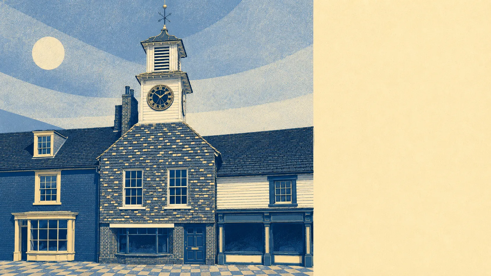
The layering matters more than any one feature. Anywhere else this pattern (Bronze Age barrows on one hill, a Norman castle at the south end, a Victorian High Street in the middle, and a Beeching-era footpath running south to the sea) would be split across five different guidebooks and priced accordingly. Here it's all inside a five-mile walking radius, and most of the residents will name three or four of the elements before pausing to remember the others. The countryside is not something Steyning has next to it. It's something Steyning is inside.
Five out of five on the area. The Downs, the Adur, the villages, and the walks between them do the work that a town centre alone could never do. Steyning sits inside the kind of countryside that other places have to pretend to have on their web pages.