The area around South Norwood is unusually green for somewhere this built-up. A park or green space is a couple of minutes from most front doors. There is a lake within an easy walk. The High Street is mostly shops, with very few pubs and restaurants. It is a crowded inner suburb with more open ground than you would expect.
The nearest green space is roughly 150 metres from the average South Norwood home, and there are about 27 within a kilometre. They range from South Norwood Country Park on the eastern edge to Beulah Heights Park at the top of the hill and smaller patches between the terraces. For a district this packed, people are rarely more than a short walk from grass.
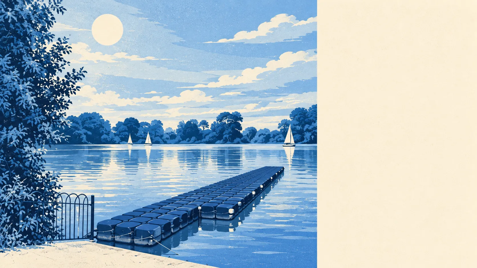
Water is about 520 metres away on average, with about 9 bodies of water within a kilometre. The main one is the lake at the country park, and the brooks below it run into Chaffinch Brook and on into the River Pool. None of them is big enough to boat on, but the lake gives the district a quiet edge on the way out of town.
The National Cycle Network is about 1.3 kilometres away on average, and only about 12% of postcodes are close to a route. For most residents, cycling means riding the ordinary streets first.
Across the district, the property ratings list about 299 shops, 10 pubs and 11 restaurants. That is a High Street made for errands. The evening out tends to happen elsewhere, unless a neighbour is hosting.
Fine-particle pollution in the Croydon council area averaged about 8.4 micrograms per cubic metre in 2024, a figure for the whole borough.
The district grew from a hamlet into a railway suburb over a few decades of the nineteenth century, and the buildings still show it. Holy Innocents dates from 1895, the Stanley Halls carry the name of the local instrument maker who shaped much of the place, and Spurgeon's College has stood on South Norwood Hill since 1923. The library on Selhurst Road, built in 1968, is known locally as "The Brutalist Library," which may be the only time anyone has used that word as a term of affection. Crystal Palace Park and Upper Norwood are up the hill to the north, and Croydon's shops are down the road to the south.
South Norwood's neighbourhoods have about 37,500 square metres of private garden for every 1,000 residents. The terraces have gardens, but with about half of all homes being flats, many people share theirs or have none, and that makes the parks close by more important.
The business rates valuation list records 535 rateable premises in the district. Shops make up the biggest group, about 300 of them, followed by offices at 29. These are premises on the list, and some of them will be empty or doing something different from what the list says.
Of the 205 food outlets rated for hygiene, about 58% have the top score of five and about 5% sit at the bottom of the scale. Most of the takeaways are fine, and a few are not.
No area of outstanding natural beauty, site of special scientific interest or ancient woodland overlaps South Norwood. The green space here is ordinary suburban parkland, and it is for using.
South Norwood is one of the greenest places of its density in this part of London: parks within a minute, a lake within a walk, and a High Street that keeps you supplied with essentials if not with nights out.