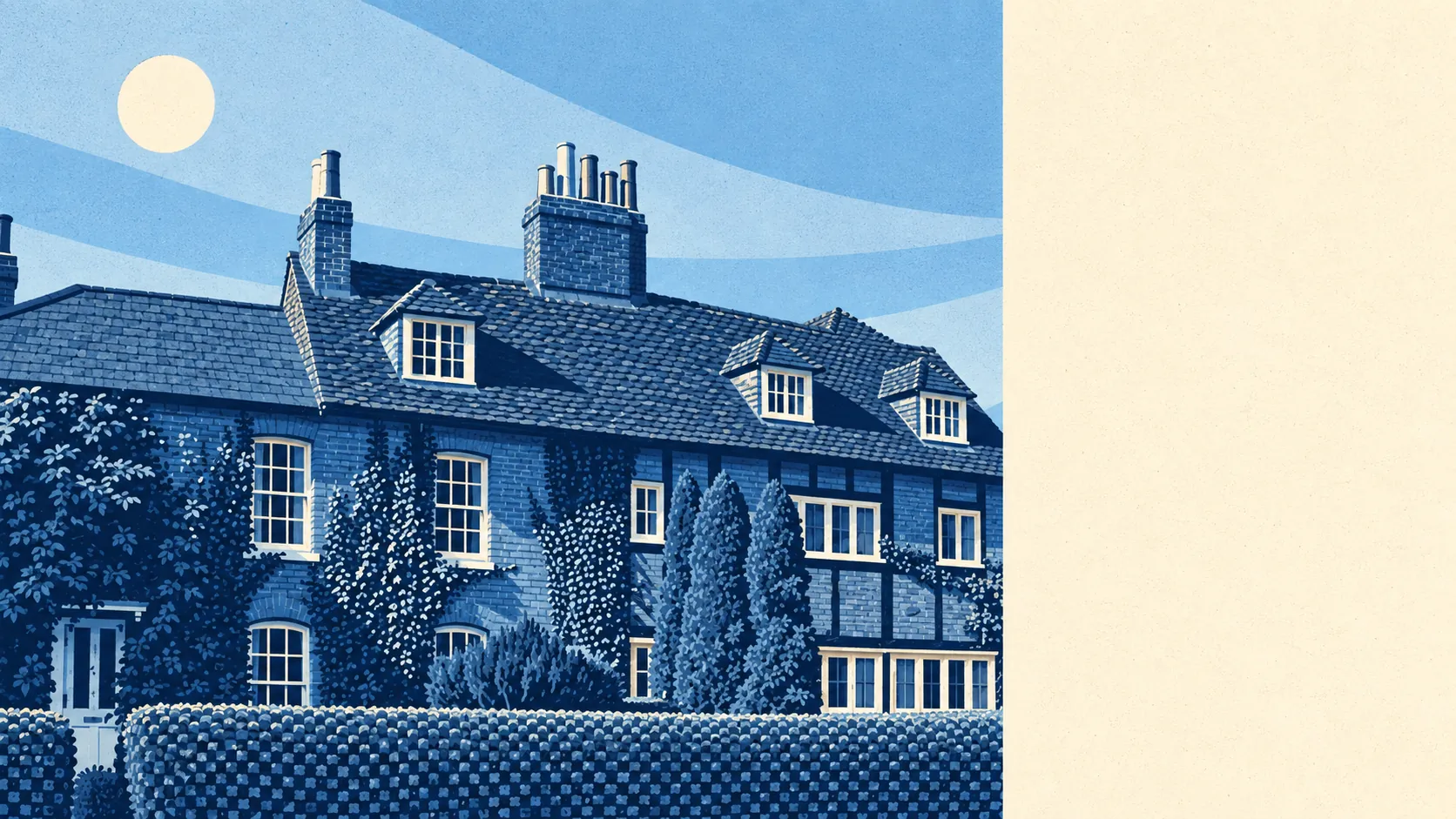
The area around South Merstham is greener than the housing lets on. There are about fifteen green spaces within a kilometre of the typical home. The nearest is a couple of hundred metres away. There are nearly thirty bodies of water within the same distance. The streets are practical, and the countryside around them is why people stay.
For the typical home, the nearest public green space is about 180 metres away, with 15 within a kilometre. At that distance, walking the dog doesn't need planning, just shoes. Few suburbs built this densely leave this much open land between them and the next town.
Water is close by too. The nearest pond, lake or stream is about 360 metres away on average, with 29 within a kilometre. Most of these are small, so don't expect the seaside, but there's more water here than the brick-and-semi streetscape suggests.
The National Cycle Network is further away, just under a kilometre from the typical home, and only about 8% of postcodes sit close to it. The cycling infrastructure mostly exists elsewhere, and getting to it counts as part of the ride.
In the wider RH1 postcode district, the premises data lists 271 shops, 28 pubs and 7 restaurants. Pubs outnumber restaurants four to one, which tells you the evenings round here are more pint than tasting menu. The district also has 399 office premises and 8 holiday lets. South Merstham isn't anyone's holiday destination, but a few people have tried.
Air quality is measured across the Reigate and Banstead council area, where fine-particle pollution averaged about 7 micrograms per cubic metre in 2024. That's a borough-wide figure, not a reading from any particular street.
The local character comes from what's around it. Lower Gatton Park, a registered historic landscape, sits on the edge of the area. The old village has its own conservation area around Merstham Village. The nearby scheduled monuments include Alderstead Fort, built as a London mobilisation centre, and the earthworks of the Surrey Iron Railway. For a suburb best known for sensible semis, the countryside round it is full of history, and most residents only discover it on a long Sunday walk. Redhill, Nutfield and Hooley are the neighbours on either side.
People here have their own outdoor space too. There's about 107,000 square metres of private garden for every 1,000 residents, which fits the houses here: semis and terraces built with a proper plot rather than a paved yard. With that much garden, the parks are for a change of scene, not a way out of the flat.
The business rating list shows 94 premises in the area itself, led by 33 shops, 10 warehouses and 3 offices. These are premises on the valuation list, not a list of what's open this week. A buyer should expect a few local shops, not a high street.
The Food Standards Agency has rated 33 food premises here. About 70% hold the top hygiene rating, and about 9% sit at the low end. Most kitchens here are fine, and a minority aren't, so check the sticker in the window.
No protected landscape overlaps the area: no Area of Outstanding Natural Beauty, no Site of Special Scientific Interest and no ancient woodland. The green space here is ordinary parks, fields and water, not designated countryside, which means residents get to use it rather than just admire it.
The surroundings are the best thing about South Merstham. Green space starts almost at the front door, water is close by, and the history nearby is far more interesting than the housing suggests.