Green, damp at the edges, and carrying more archaeology than population. Around nine green spaces sit within a kilometre of the typical home. Water is closer than the nearest shop for most people. There are eleven pubs and three restaurants, which tells you exactly how evenings work here. This is countryside people live in rather than countryside people photograph, and the difference shows up in what has been built and what has been left alone.
On green space, the average postcode in the Somerton area sits about 300 metres from the nearest one, with roughly 9 separate green spaces inside a kilometre. That is not one big park doing all the work. It is a scattering of commons, greens, playing fields and churchyards across a town and a ring of villages, which is why the walk to grass is short from almost anywhere rather than short from the good streets only.
Water is nearer still. The average postcode is about 400 metres from blue space, with around 24 watercourses, ponds or drains within a kilometre. On the edge of the Somerset Levels that count is less romantic than it sounds: much of it is drainage rather than scenery. It does mean that a walk in any direction tends to end at something with ducks on it.
For cycling, the National Cycle Network is not on the doorstep. The average postcode sits about 6 kilometres from the nearest signed route, and no postcode in the area counts as close to one. Riding here means lanes, junctions and a helmet camera, not a traffic-free path to the next town.
The amenity mix is small-town rather than village. The rating list carries 61 shops, 11 pubs, 30 offices, 19 holiday lets and 3 restaurants across the area, out of 452 rateable premises in total. Those are premises on the valuation list rather than a guarantee of anything currently open, but the shape is clear enough: retail and pubs in reasonable supply, dining out in very short supply. Anyone who eats out twice a week will exhaust the local options inside a month and start driving.
Air quality is a non-issue. Fine particle levels across the council area averaged about 5.5 micrograms per cubic metre in 2024, which is a council-wide figure rather than a street-level one.
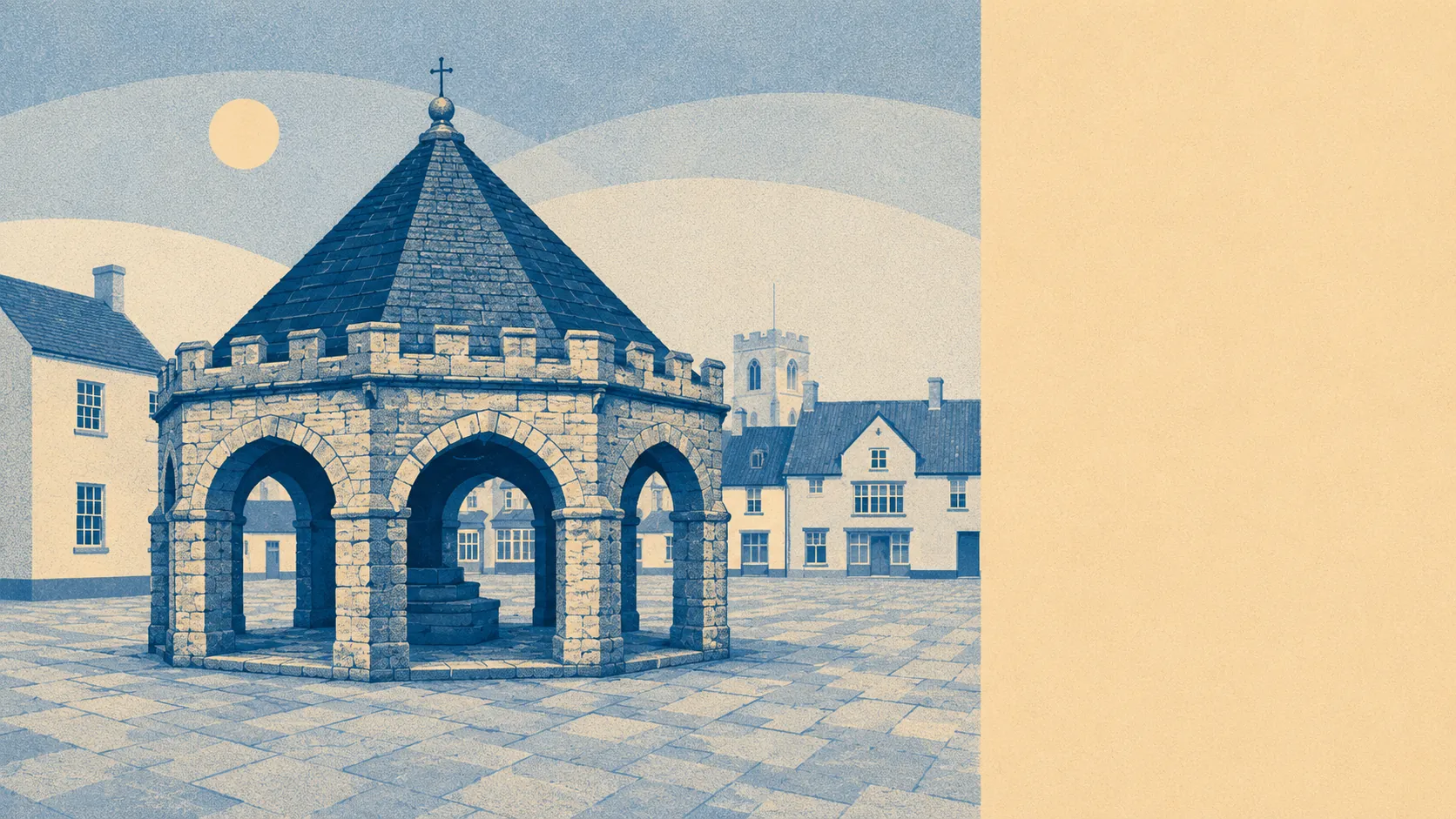
The character comes from what is scattered around the town. Within the area's bounds sit a hillfort above Compton Dundon, a Roman villa at Low Ham, three duck decoys out on Walton Moor, and a bronze age bowl barrow recorded as Wimble Toot, which is a name that has survived four thousand years without anyone having the nerve to change it. The market cross in Somerton's square is a scheduled monument standing in the middle of everyday parking, and Hazlegrove House brings a registered park and garden into the mix. Villages like Long Sutton, Kingsdon, Butleigh, Pitney and Keinton Mandeville fill in the gaps between.
Private outdoor space is the part the public figures miss. The area holds roughly 350,000 square metres of private garden for every 1,000 residents, which is the real answer to how much outdoor space people have here, and it dwarfs anything a town centre postcode offers. Gardens here are for growing things in, not for a bistro set and a bin.
Eating out is at least safe. Of 73 rated food premises across the area, about 85% hold the top hygiene score and none sit at the bottom of the scale.
One honest absence: no area of outstanding natural beauty, no site of special scientific interest and no ancient woodland overlaps this area. The landscape here is working farmland and drained moor rather than protected scenery, which is why so much of it stays quiet.
The surroundings are among the best things about living here: green space at the door, water within a few minutes, and space of your own behind the house. What it will not give you is a dining scene or a cycle path, and anyone expecting either will spend a lot of time in the car finding them elsewhere.