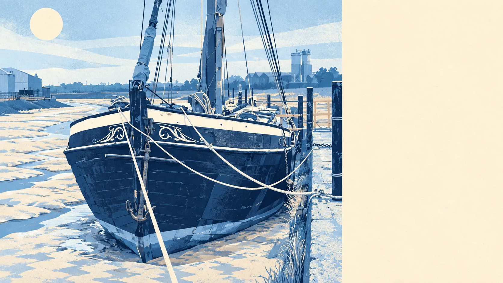
Greener and wetter than the industrial reputation suggests. There are two dozen green spaces within a kilometre of a typical home. The creeks and the Swale are a short walk away. Half the town is close to the national cycle network. The paper mills and brickworks went, and the open space they sat next to is still there.
Green space is the part people underrate. The nearest park or open space sits about 136 metres from a typical home, and there are about 24 within a kilometre. For a town that spent its history digging clay and pulping straw, that's a lot of grass within reach of a front door. Dog owners work it out in their first week.
Water is close too. The nearest river, creek, lake or shoreline averages about 610 metres away, and there are about 16 bodies of water within a kilometre. Milton Creek runs up into the town from the Swale, and out at Conyer the creeks carry on towards the channel that separates the mainland from Sheppey. It isn't a seaside town, but the tide is never far away.
For getting out into it, the National Cycle Network averages about 640 metres from home, and about 51% of postcodes sit close to a route. That puts a traffic-free ride within reach for half the town, provided anyone gets the bike out of the shed.
The high street is practical rather than pretty. Property records count 337 shops, 43 pubs and 34 restaurants across the area. That's enough to cover the weekly shop and a night out, but not enough to turn a Saturday into a destination. Of 298 rated food outlets, about 77% hold the top hygiene score.
Air quality is measured for the whole council area rather than the town: Swale averaged about 7.1 micrograms of fine particles per cubic metre in 2024.
The character comes from what surrounds the town. Borden, Tunstall, Rodmersham Green and Tonge sit as conservation-area villages just beyond the estates, and Milton Regis keeps its old high street on the edge of town. Kemsley has the model village the paper company built for its workers, and the old mill railway still runs out towards it. Within ten minutes of an ordinary post-war semi you can be somewhere that looks entirely different, and plenty of residents only discover it after years of driving past.
Private gardens are generous. There are about 83,000 square metres of garden for every 1,000 residents, which fits a town where most homes are houses rather than flats. A garden here comes with most houses as standard, not as something the listing has to make a fuss about.
On paper the business side is bigger than the high street. The rating list holds 1,525 non-domestic premises, led by 285 shops, 263 warehouses and stores, 214 offices and 178 industrial units. These are rateable premises, not a count of businesses currently open, but the mix says plenty: this is still a working town with warehouses at the edges, not a retail destination.
For eating out, about 77% of the 298 rated food premises hold the top hygiene score and about 2% sit at the bottom. The odds are good, and it's worth checking the rating before trying somewhere new.
No protected landscape overlaps the area: no area of outstanding natural beauty, no site of special scientific interest and no ancient woodland. The countryside here is ordinary Kent farmland and creek, with no designated beauty spot, and it gets used for walking the dog rather than photographing.
The surroundings are Sittingbourne's best feature by a distance. There's green space on every side and water close by, and the town rarely gets credit for either.